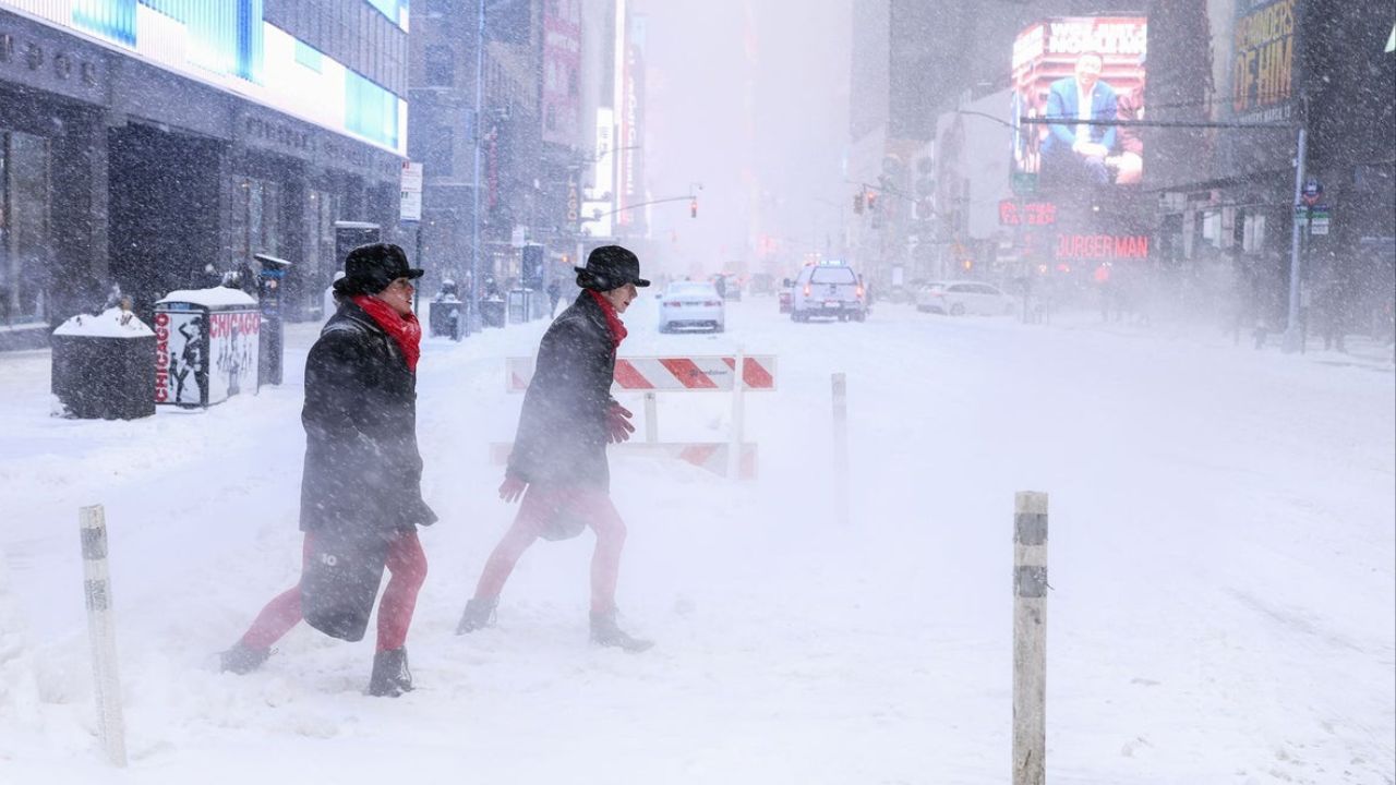
Raleigh, North Carolina — A rapidly strengthening winter storm is expected to explode in intensity along the Atlantic Coast this weekend, with forecasters warning that a bomb cyclone could unleash the heaviest snowfall North Carolina has seen in decades, along with blizzard conditions, damaging winds, and significant coastal flooding from the Southeast to parts of New England.
Meteorologists say the storm will intensify quickly offshore as it taps into deep Atlantic moisture and collides with entrenched Arctic air. This setup creates the potential for high-impact winter weather across the Carolinas and southern Virginia, while areas farther north walk a fine line between plowable snow and a near miss.
Carolinas and Southern Virginia in the Bullseye
North Carolina appears to be one of the states most at risk for a rare, high-end snow event. Forecasts call for several inches of snow across much of the state, with the greatest likelihood of 6 inches or more stretching from north-central North Carolina into southeastern Virginia and the southern Delmarva Peninsula.
Cities such as Charlotte, Raleigh, and Greensboro could experience their most significant snowstorm in decades, depending on the storm’s final track and intensity.
Forecasters say this system has the potential to rival or exceed many of the most memorable winter storms in recent history for central North Carolina.
In Norfolk, Virginia, snowfall totals could surpass last February’s 11.1 inches, which would make this one of the city’s most impactful snow events on record.
How This Storm Compares to Past Snowfall Records
For Charlotte, the most recent benchmark storm brought 3.5 inches on January 17, 2018, a total that is well within reach this weekend. Looking further back, February 2004 delivered 13.2 inches, while January 2003 produced 8.5 inches.
Raleigh has seen notable snow in recent decades, including 7 inches in December 2018. However, the city’s all-time record remains 20.3 inches in January 2000, with 10.8 inches falling in January 2002. Meteorologists say this weekend’s storm could easily exceed more recent events if snowfall rates peak as expected.
Blizzard Conditions Increasingly Likely
As the nor’easter strengthens into a bomb cyclone, blizzard conditions are possible in the hardest-hit areas, particularly across parts of North Carolina, southern Virginia, and later southeastern Massachusetts.
A blizzard is defined as accumulating or blowing snow that reduces visibility to one-quarter mile or less, combined with sustained or gusty winds of at least 35 miles per hour for three consecutive hours.
Meteorologists stress that terms like “blizzard” and “bomb cyclone” are not used casually — and this storm has the atmospheric ingredients to meet those thresholds.
Read Also: Houston Braces for Hard Freeze as Temperatures Near I-10 Could Drop Into the Teens Sunday Morning
Strong winds could whip falling snow into whiteout conditions, making travel extremely dangerous or impossible during the height of the storm.
Major Travel Disruptions Expected
Snow and wind are expected to disrupt air and ground travel across a wide swath of the eastern U.S.
Major airport hubs from Charlotte to Boston are likely to experience widespread delays and cancellations, while hazardous conditions could bring traffic to a near standstill along key highways, including:
- Interstates 95, 85, 81, 77, 64, and 40
Emergency officials are urging travelers to avoid unnecessary trips, especially during peak snowfall and wind.
Coastal Flooding and Beach Erosion a Serious Concern
Beyond snow, strong winds and powerful waves will pose a significant threat along the Atlantic coastline from North Carolina to New England.
As winds push water onshore, storm surge combined with the full moon and higher-than-normal astronomical tides could raise water levels 2 to 4 feet above normal, increasing the risk of flooding and erosion.
Areas at particular risk include:
- Norfolk, Virginia
- North Carolina’s Outer Banks
- The Wildwoods, New Jersey
- Scituate, Massachusetts
Flooding is most likely around high tide, when storm surge and wave action peak.
Northeast Balances on a Sharp Snow Cutoff
Farther north, snowfall totals will depend on a very narrow boundary between dry Arctic air and Atlantic moisture.
Along the Interstate 95 corridor from northern Virginia to New York City, the dividing line will not be rain versus snow — but accumulating snow versus almost none at all.
Forecasters believe the most likely zone for 3 to 6 inches of snow in the Northeast will be southeastern Massachusetts, while Boston and parts of coastal Maine may see 1 to 3 inches.
Similar to southeastern Virginia, blizzard conditions could also develop in southeastern Massachusetts as the storm strengthens offshore.
Arctic Air to Follow the Storm
Once the nor’easter pulls away, another surge of Arctic air is expected to spill south and east across much of the country.
This will drive freezes and frosts deep into the Southeast, including parts of Florida, and send much of the eastern half of the U.S. back into a prolonged deep freeze lasting several days.
According to guidance from the National Weather Service, the cold behind this storm could linger longer than typical, increasing risks to pipes, agriculture, and vulnerable populations.
A High-Stakes Winter Weekend Ahead
With historic snowfall potential, blizzard conditions, dangerous coastal flooding, and a renewed Arctic outbreak all tied to a single system, officials across the East Coast are urging residents to finalize preparations immediately.
This storm has the potential to become one of the most impactful winter weather events of recent years for parts of the Southeast and Mid-Atlantic.
Do you think your area will see record-breaking snow, or will the sharp cutoff spare your city at the last moment? Share what you’re preparing for in the comments below.