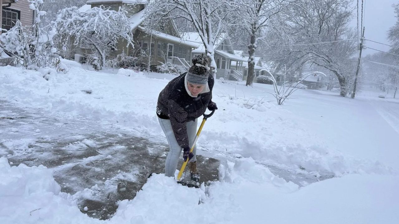
Reno, Nevada — While large portions of the eastern United States continue to endure repeated Arctic blasts, the western half of the country is experiencing a winter that barely resembles the season at all.
From the Great Basin to the Southwest and parts of the Pacific Northwest, unusually warm temperatures and historically low snowfall are placing this winter among the mildest ever observed in many western cities.
Climate experts say the contrast between East and West has become increasingly pronounced, with winter severity effectively split down the middle of the country.
Mild Winter Records Piling Up Across the West
Data from the Midwestern Regional Climate Center shows that nearly 30 out of 365 monitored locations are currently experiencing their mildest winter to date based on the Accumulated Winter Season Severity Index, commonly known as AWSSI.
AWSSI factors in daily temperatures and snowfall totals across the entire winter season, offering a broad look at how harsh — or mild — a winter has been. Lower scores reflect warmer weather and reduced snow, both of which have dominated much of the West this season.
Cities including Reno, Salt Lake City, and Albuquerque are among those approaching record-low winter severity values.
A low AWSSI score doesn’t just mean fewer snow days — it signals a winter with limited freezing temperatures and minimal long-lasting snow cover.
A Warm Start Set the Tone Early
This mild pattern didn’t emerge suddenly. According to the National Centers for Environmental Information, nine western states recorded their warmest December on record, giving winter a weak foundation before it even began.
That early warmth reduced early-season snowfall and left many mountain regions without the snow base typically built by late December.
So far, winter trends across the West include:
- Persistent above-average temperatures
- Fewer Pacific storm systems reaching the mountains
- Extended dry stretches between weak systems
These conditions have prevented winter from gaining momentum.
Snowpack Levels Raise Red Flags for Water Supply
The most serious concern lies not in mild temperatures, but in what’s missing from the mountains.
Snowpack measurements across the West show snow water equivalent (SWE) levels well below normal, with many watershed basins reporting less than 50% of average for late January.
Regions affected include:
- The Four Corners area
- Much of the Rocky Mountains
- Portions of the Sierra Nevada and Pacific Northwest
Several snow-monitoring stations are currently showing their lowest snowpack readings on record for this point in the season.
SWE represents how much water is stored in the snowpack — essentially the West’s natural reservoir for spring and summer.
Why a Weak Snowpack Has Long-Term Consequences
The lack of winter snowfall has implications far beyond ski resorts and seasonal recreation.
Much of the western United States depends on gradual snowmelt to supply rivers, reservoirs, and groundwater during the warmer months. When winter snowpack is thin, the impacts often appear later in the year.
Potential consequences include:
- Reduced river flows during summer
- Lower reservoir levels
- Heightened drought risk
- Increased stress on agriculture and municipal water supplies
Although snowpack typically peaks in early to mid-spring, forecasters say the current deficit means the region would need multiple strong late-season storms just to approach normal conditions.
Atmospheric Pattern Explains the East–West Divide
Meteorologists point to a persistent ridge of high pressure dominating the western U.S. as the primary driver behind the missing winter.
This ridge has:
- Allowed warm air to linger over the West
- Forced the jet stream to track storms farther north
- Limited the frequency and strength of snow-producing systems
At the same time, this pattern has helped funnel colder air into the eastern half of the country.
The setup is also linked to the negative phase of the Arctic Oscillation, a global circulation pattern that weakens the polar vortex.
When the Arctic Oscillation turns negative, cold air spills south into the East while the West remains locked under warmer, more stable conditions.
Read Also: Houston Braces for Hard Freeze as Temperatures Near I-10 Could Drop Into the Teens Sunday Morning
Is There Still Time for a Turnaround?
Despite the concerning signs, winter is not officially over.
February and March are historically important months for western snowfall, and snow water equivalent levels typically peak later in the season. A shift in atmospheric patterns could still deliver meaningful snow to mountain regions.
However, experts caution that each warm and dry week reduces the margin for recovery, increasing the odds that water shortages could become a reality later this year.
For now, the West continues to wait for winter to arrive — and time is becoming an increasingly important factor.
Do you feel like winter never showed up where you live, or are you still hoping for a late-season comeback? Share what you’re seeing locally in the comments below.