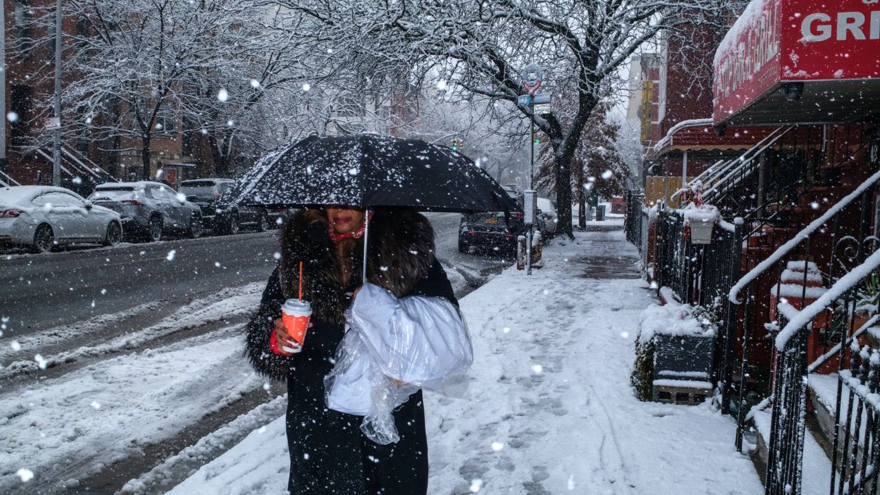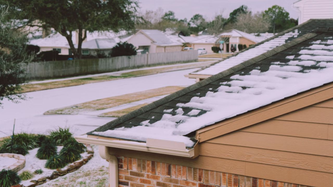
Houston, Texas — Southeast Texas residents are being urged to prepare for a dangerous cold outbreak expected to arrive late Saturday and intensify overnight into early Sunday, with forecasters warning of a hard freeze capable of causing property damage and safety risks across the region.
According to the National Weather Service Houston/Galveston, a Cold Weather Advisory will be in effect early Saturday morning, followed by a Freeze Watch that covers most of Southeast Texas from Saturday night through Sunday morning. Meteorologists say this will be one of the coldest periods the area has seen this season.
Cold Weather Advisory Begins Early Saturday
The Cold Weather Advisory is scheduled from 3 a.m. to 10 a.m. Saturday, as strong north winds combine with falling temperatures to create dangerously low wind chills. Forecasts show wind chill values ranging from 11 to 26 degrees, with the coldest conditions expected north of Interstate 10.
Actual air temperatures early Saturday morning are projected to fall into the mid-20s to mid-30s, depending on location. While coastal and southern areas may remain closer to freezing, inland communities could experience prolonged exposure to subfreezing air.
Forecasters warn that even brief exposure to these conditions can be dangerous for vulnerable populations without proper cold-weather protection.
Freeze Watch Issued Ahead of Hard Freeze
A Freeze Watch has been issued from 9 p.m. Saturday through 9 a.m. Sunday, signaling a high likelihood of a hard freeze across the region. Overnight low temperatures are expected to fall between 18 and 24 degrees, with some areas experiencing wind chills as low as 14 degrees.
The coldest temperatures are expected near and north of I-10, including areas along Interstate 45 and U.S. Highway 59, where prolonged freezing conditions could last several hours.
Officials describe the upcoming event as a “hard freeze,” meaning temperatures are expected to remain below freezing long enough to cause widespread damage.
Potential Impacts Across Southeast Texas
Meteorologists say the cold poses several risks, particularly to infrastructure, vegetation, and personal safety.
Read Also: Philadelphia Faces Rare Deep Freeze as Forecasters Track Coastal Snow Threat
Primary concerns include:
- Burst or frozen pipes, especially in older homes or buildings with exposed plumbing
- Damage or death to sensitive plants and crops
- Increased risk for pets left outdoors
- Dangerous conditions for people without adequate heating or shelter
Although significant travel disruptions are not currently expected, officials caution that overnight and early morning conditions will be sharply colder, particularly for commuters traveling along I-10, I-45, SH-288, and coastal roadways.
Officials Urge Residents to Protect the “Four P’s”
Emergency officials are reminding residents to take action now by protecting the four P’s: People, Pets, Plants, and Pipes.
Recommended precautions include:
- Insulating exposed pipes and allowing faucets to drip overnight
- Bringing pets indoors or ensuring they have adequate warmth and shelter
- Covering or moving plants to warmer locations
- Checking on elderly neighbors and those without reliable heat
Authorities stress that preparation ahead of time can prevent costly damage and serious health risks once temperatures fall.
Coldest Conditions Expected Early Sunday
Forecasters say the most severe cold will occur during the early morning hours on Sunday, when temperatures reach their lowest point. While conditions are expected to slowly improve later Sunday, cool weather will linger into early next week, keeping overnight lows well below seasonal norms.
The Freeze Watch could still be upgraded to a Freeze Warning if confidence increases in prolonged freezing temperatures or if forecasts trend colder.
Residents are encouraged to closely monitor weather updates and follow guidance from local officials as conditions evolve.
What steps are you taking to prepare for the freeze, and have you experienced similar cold events in Houston before? Share your thoughts and tips in the comments below.