Philadelphia, Pennsylvania — The prolonged cold snap gripping the Philadelphia region shows little sign of easing, with Friday marking the seventh straight day of below-freezing daytime temperatures and the potential for light snow still on the forecast radar as a powerful coastal storm develops offshore this weekend.
Thursday officially became the sixth consecutive day with highs below 32 degrees, making this the city’s longest subfreezing streak since 2018. If temperatures stay below freezing through Friday — as expected — the stretch will rival cold spells not seen in decades.
Meteorologists say Philadelphia is on track for a 10-day run of subfreezing highs, something that has happened only six times since recordkeeping began. The all-time record remains the 15-day stretch in 1979, a benchmark that still looms as this Arctic pattern refuses to break.
“Temperatures this cold, for this long, are extremely uncommon in the Philadelphia area,” forecasters note.
Bitter Cold Continues Into Early Next Week
Friday’s forecast calls for a high near 19 degrees, with overnight lows dropping into the single digits. Even as sunshine increases, the cold air mass in place will prevent any meaningful warmup.
Temperatures are not expected to climb above freezing until Tuesday at the earliest, when highs may finally reach the low 30s. Even then, conditions will remain well below seasonal averages.
Wind chills will continue to play a role, especially during the morning and overnight hours, making it feel colder than the thermometer suggests.
Key temperature milestones
- Friday: Seventh straight day below freezing
- Sunday: Could become the longest cold streak since 1979
- Tuesday: First chance to climb above 32 degrees
Coastal Storm Still in Play — But Snow Risk Is Lowering
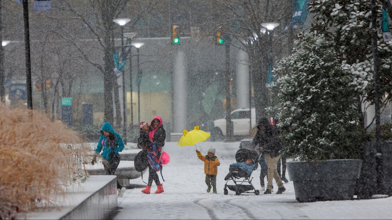
Alongside the cold, meteorologists are closely monitoring a major coastal storm expected to intensify off the East Coast this weekend. The encouraging news for the Philadelphia metro area is that forecast models continue to shift the storm farther east, reducing the likelihood of heavy snow locally.
The current most likely scenario brings significant snow to Virginia and the Carolinas, while closer to home, the system may only brush the Delaware beaches and southern New Jersey Shore with light accumulations.
A secondary scenario keeps the storm fully out to sea, resulting in a complete miss for southeastern Pennsylvania.
Read Also: Coastal Snowstorm to Slam Carolinas, Likely Skips Most of Tri-State Region
“If snow reaches the city at all, it would likely be light and spread out — more nuisance than disruption,” forecasters say.
This storm differs sharply from last weekend’s system. With its track well offshore, any precipitation would fall as snow, not a wintry mix. If snow does reach Philadelphia, it would resemble a light, steady snowfall producing only a few inches at most.
What Is a Bomb Cyclone?
Regardless of its final track, forecasters expect the storm to undergo bombogenesis, meaning it will rapidly intensify as it moves up the coast.
A bomb cyclone is defined by a pressure drop of at least 24 millibars in 24 hours, a sign of explosive strengthening. While dramatic in name, this process mainly signals strong winds and enhanced coastal impacts.
Wind and Coastal Flooding Threats Remain
Even if snow stays offshore, the storm’s strength could still be felt locally through gusty winds and coastal hazards.
Winds along the coast could gust up to 50 mph, especially late Saturday into Sunday. These winds, combined with astronomically higher tides, raise the risk of minor coastal flooding, particularly in vulnerable shoreline areas.
Ocean water pushed toward the coast may lead to rough surf, beach erosion, and water on coastal roads during high tide.
No Big Warmup in Sight
Looking ahead, long-range forecast models offer little hope for a major temperature rebound. Data extending through Valentine’s Day weekend shows no sustained warmup, meaning snow and ice from recent storms may linger.
“At this point, there’s no clear signal for a significant thaw,” meteorologists caution.
7-Day Snapshot for Philadelphia
- Friday: 19° / 5°
- Saturday: 23° / 4°
- Sunday: 26° / 12°
- Monday: 31° / 16°
- Tuesday: 33° / 18°
- Wednesday: 35° / 18°
- Thursday: 34° / 16°
With cold records approaching and a coastal storm still in play, residents are urged to stay weather-aware and prepared for changing conditions.
Do you think this cold stretch will break soon, or are we in for more winter surprises? Share your thoughts and local observations in the comments below.