
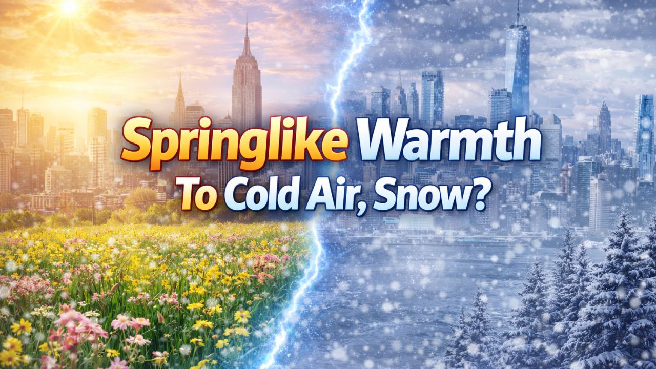
New York City, New York — A stretch of springlike warmth is set to peak across much of the eastern United States late this week, but forecasters warn it will be short-lived. Colder air is poised to surge back into the Plains, Midwest, and Northeast, reopening the possibility of snowstorms as January moves forward.
Meteorologists say this pattern shift will feel abrupt for many communities, especially in the South and East, where temperatures are running far above normal for mid-January.
Unseasonable warmth builds across the East
Through the end of the week, much of the eastern U.S. is expected to run 10 to 20 degrees above average, with some areas in the South pushing close to daily record highs.
Warm air has already surged northward across the Plains, with record-setting temperatures observed earlier in the week. By midweek, temperatures in the 70s and even 80s spread from Texas through the southern Plains and into the lower Mississippi Valley.
On Wednesday and Thursday, long-standing records may be challenged from Texas through Georgia and the Carolinas.
While the Ohio Valley and Northeast will not warm as dramatically as the South, conditions there will still feel unusually mild for January.
High temperatures are forecast to reach the 50s in New York City and Philadelphia and the 60s in Washington, D.C. by Friday. Records may also be approached across parts of the Southeast and as far north as the Ohio Valley.
Nights feel more like April than January
The warmth will not be limited to daytime highs. Friday night is expected to feel more like early spring, aided by a steady southerly breeze ahead of a storm tracking north toward the Great Lakes and the St. Lawrence Valley.
Lows in the 40s and even 50s are forecast across parts of the Northeast, while portions of the Southeast could remain in the 60s overnight.
With temperatures starting unusually high, many coastal Northeast locations may still see highs in the 40s, 50s, and even low 60s on Saturday.
However, melting snow and saturated ground could lead to muddy conditions, and where nighttime temperatures briefly dip below freezing, icy patches may develop.
Cold air set to return in waves
Forecasters say the warm spell will end as colder air begins pushing back into the eastern half of the country this weekend.
“Some colder air will sweep in behind the storm, finishing up in the Northeast this weekend,” said the meteorologist.
While the upcoming cold will be noticeable, it is not expected to be as extreme as the chill experienced in parts of December.
Meteorologists explain that air over central and northern Canada is currently milder than it was earlier in winter, and Pacific air continues to mix into the pattern. As a result, the cold reaching the central and eastern U.S. will be seasonable rather than severe.
Sharp cooldown likely in the South
The contrast will be most dramatic across the southern states.
In Atlanta, for example, temperatures are forecast to remain in the upper 60s to low 70s for several days into Saturday. By Sunday, highs could drop 20 degrees or more, settling near 50 degrees.
The shift may feel sudden for residents enjoying record-challenging warmth just days earlier.
Read Also: Arctic Air and Snowy Winds Target Albuquerque as New Mexico Braces for Coldest Stretch of Winter
Farther north, temperature swings will be less extreme but still noticeable.
In Chicago, highs are expected to fall from the mid-50s Thursday to the mid-40s Friday, the upper 30s Saturday, and near or just below freezing Sunday.
In New York City, temperatures may not return to near the historical average high of around 40 degrees until Monday.
Snowstorm potential next week under watch
Looking ahead, meteorologists are closely monitoring the potential for coastal storms later in January, which could determine how much cold and snow the East ultimately sees.
The developing pattern favors quick pulses of colder air, with the intensity depending on storm placement.
If a storm tracks up the East Coast, heavier snow could develop across the Appalachians and the northern and western suburbs of major I-95 corridor cities. A farther-offshore track would limit snowfall, possibly confining it to inland or higher-elevation areas.
Forecasters are also watching a second storm window around January 17–18, which could follow a track more favorable for snow in parts of the Northeast.
What to expect going forward
For now, residents across the East are encouraged to enjoy the mild stretch while preparing for a return to winterlike conditions.
The key uncertainties remain:
- How quickly cold air returns
- Whether coastal storms develop
- Where rain transitions to snow
As January progresses, winter is expected to reassert itself, even if the cold is less intense than earlier in the season.
Are you enjoying the warm spell, or preparing for the next cold snap? Share what you’re seeing in your area in the comments below.


