Seattle, Washington — A significant winter storm is set to slam Washington’s Cascade Mountains this week, with forecasters warning that up to four feet of snow could accumulate by Thursday, creating dangerous travel conditions, heightened avalanche risk, and possible power outages across the region.
The storm marks a dramatic shift after an unusually warm and wet December that stripped away much of the early-season snowpack, just as ski resorts were ramping up for the holiday season.
According to the National Weather Service, a Winter Storm Warning is now in effect for large portions of the Cascades as heavy snow, strong winds, and hazardous conditions move in.
Heavy snow expected through Thursday afternoon
Forecasters say snowfall will begin intensifying early Tuesday and continue through 4 p.m. Thursday, with the most intense period expected from Tuesday morning through Tuesday night.
“Snowfall rates could approach one inch per hour during the heaviest bands,” the agency said.
Total accumulations are forecast to range between 2 and 4 feet in higher elevations, with wind gusts reaching up to 35 mph, creating blowing snow and near-whiteout conditions at times.
The warning covers Cascade areas in Whatcom, Skagit, Snohomish, King, Pierce, and Lewis counties, where mountain travel is expected to become extremely difficult or impossible during peak snowfall.
Mountain travel expected to be hazardous
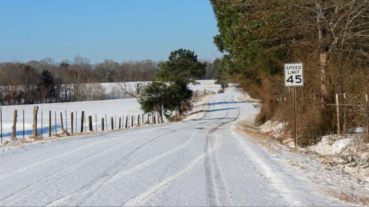
Transportation officials are urging drivers to reconsider travel plans over mountain passes as the storm moves through. Snow-covered roads, reduced visibility, and rapidly changing conditions are expected across major Cascade routes.
“Travel impacts are likely over the mountains, especially during periods of heavy snowfall,” forecasters warned.
Drivers who must travel are encouraged to check pass reports frequently and carry emergency supplies, including food, water, warm clothing, a flashlight, and fully charged devices, in case they become stranded.
Officials say chain requirements and temporary pass closures are possible as conditions deteriorate.
Lowlands to see heavy rain and strong winds
While the snow remains confined to higher elevations, the storm will also impact western Washington’s lowlands with heavy rain and gusty winds.
Rainfall totals for the Puget Sound region are expected to fall between 0.5 and 1 inch, which could lead to ponding on roads and localized drainage issues.
Wind gusts across much of the area are forecast to range between 30 and 40 mph, with stronger gusts possible in some coastal and island communities.
“Gusts up to 50 mph are possible for Camano and Whidbey Islands, along with western Whatcom County.”
A Wind Advisory remains in effect for those areas through midday, officials said.
Read Also: Blizzard Warnings Trigger Near-Zero Visibility Across Western Alaska as Powerful Winds Slam Region
Power outages possible as winds increase
The combination of saturated ground and strong winds raises the risk of downed trees and power lines, particularly in exposed areas.
Utility crews are preparing for possible outages, and residents are encouraged to secure loose outdoor items and ensure emergency supplies are on hand in case power is disrupted.
Officials recommend having flashlights, batteries, and alternative heat sources ready, especially in rural or forested communities.
Avalanche danger rises sharply in the Cascades
In addition to travel concerns, avalanche risk is increasing rapidly as heavy snow piles onto weakened layers.
The Northwest Avalanche Center reported Monday that avalanche danger has risen to considerable or high levels on the western slopes of the north and central Cascades.
“At elevations above 5,500 feet, travel in avalanche terrain is not recommended,” the center warned.
Backcountry recreationists are urged to avoid steep slopes and avalanche-prone terrain altogether until conditions stabilize.
Timing notable after warm December
The storm follows a wet and unseasonably warm December, which washed away much of the early-season snowpack across the Cascades.
Many ski resorts had only recently reopened to skiers and snowboarders in the days leading up to Christmas. While the incoming snow is welcome for long-term snowpack and recreation, officials stress that the rapid accumulation significantly increases short-term hazards.
Residents urged to stay weather-aware
Forecasters emphasize that conditions may change quickly as the system moves through the region, and additional advisories could be issued.
Residents and travelers are urged to monitor weather alerts, delay unnecessary travel, and take precautions to stay safe during the storm’s peak.
How is this winter storm expected to impact your plans or travel this week? Share what you’re seeing — and how you’re preparing — in the comments below.