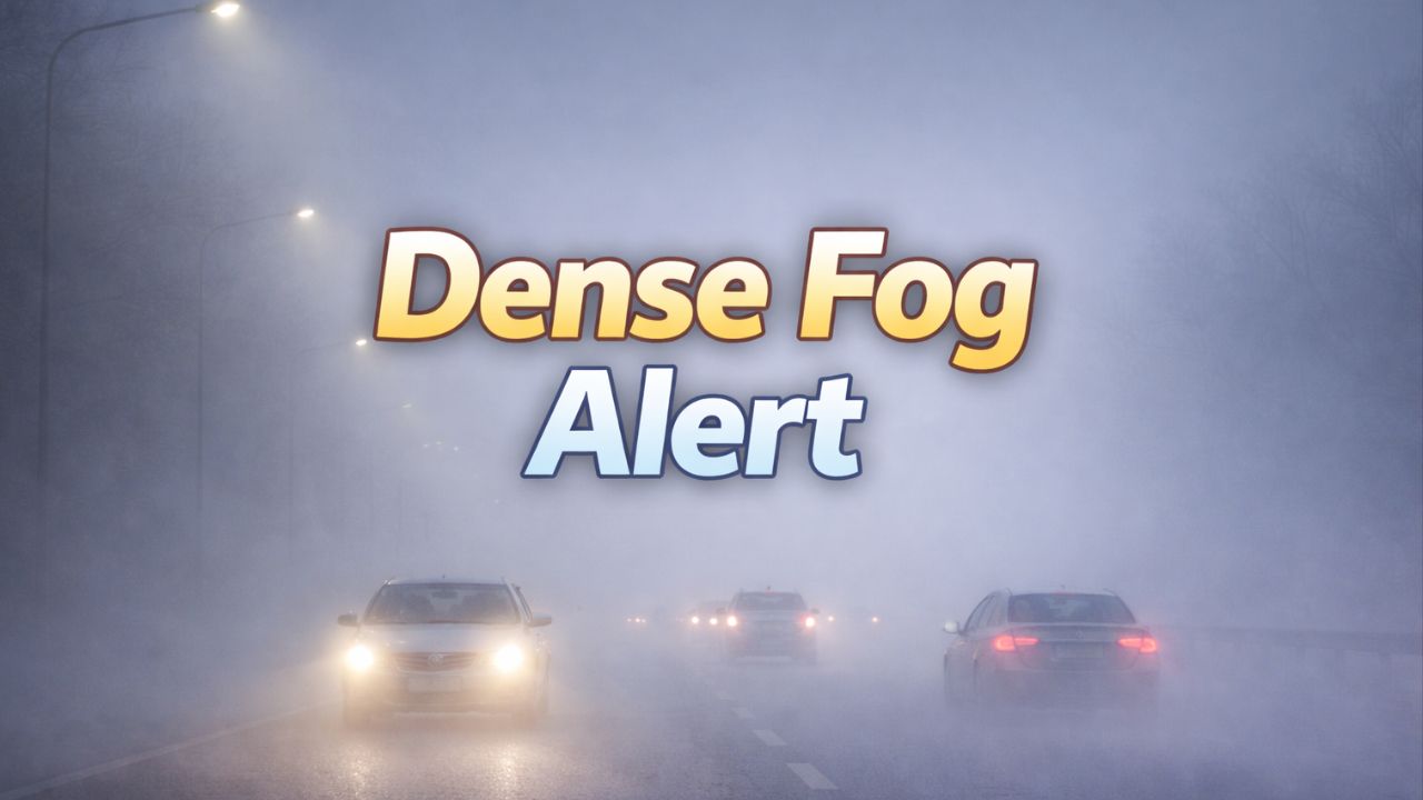
Florida — A powerful surge of Arctic air is poised to plunge temperatures across the Sunshine State to levels not seen in decades, setting up hard freezes inland, near-freezing mornings in South Florida, and even a rare chance of Gulf-side snow flurries this weekend into early next week.
Forecasters say the coldest stretch will arrive Saturday night through Monday morning, with readings rivaling historic cold outbreaks from 2010, 1989, 1977, and even 1966 in parts of the state. The prolonged chill could disrupt daily life, stress heating systems, stun wildlife, and threaten sensitive crops.
How Cold Will It Get?
Central Florida is expected to bear the brunt of the freeze. In Orlando, overnight lows in the mid-20s are forecast for Sunday and Monday mornings—territory last reached during the 2010 cold snap. For historical context, Orlando’s all-time record low is 19°F, set in 1895 and 1985.
Farther south, Miami could dip into the mid-30s on consecutive mornings, a level not seen since 2010. Miami’s record low stands at 31°F, recorded in 1977.
“Green iguanas are sensitive to cold and can become stunned when temperatures drop into the 40s and 30s,” meteorologists note. “When that happens, they may lose their grip and fall from trees.” The phenomenon is unusual but well-known during rare Florida cold snaps.
Heating Strain and Safety Concerns
With temperatures this low, home heating systems may struggle to keep pace, especially overnight. Residents who typically keep thermostats low to manage energy costs may need to raise indoor temperatures to protect plumbing and prevent frozen pipes.
Officials recommend:
- Insulating exposed pipes and letting faucets drip overnight
- Bringing pets indoors and checking on vulnerable neighbors
- Using space heaters safely, keeping them away from flammable materials
Could Tampa See Snow?
Along Florida’s west coast, an unusual setup may briefly mimic lake-effect processes. Cold air sweeping over the comparatively warmer Gulf waters could produce “Gulf-effect” flurries near Tampa late Saturday into Saturday night.
Forecasters stress this would be light and brief. Measurable snow in Tampa Bay is exceptionally rare, with only one confirmed accumulation on record and a handful of flurry sightings over the past century. Any flakes that do fall would melt immediately on contact, though a brief dusting on cold surfaces cannot be entirely ruled out.
Citrus Groves at Risk
The freeze poses a serious concern for Florida’s citrus industry. According to the U.S. Department of Agriculture, fruit damage can begin at 28°F, depending on duration and rind thickness, while leaf damage may occur near 24°F for non-acclimated trees.
“In the citrus-growing regions, there’s a 95% chance temperatures dip to 27°F or lower and a 90% chance of 25°F or lower during this outbreak,” meteorologists warn.
Most groves now sit south and east of Orlando, a shift shaped by past freeze losses. This season’s threat comes on top of disease pressures and hurricane damage, compounding risks as late-season fruit reaches maturity.
Read Also: Philadelphia Faces Rare Deep Freeze as Forecasters Track Coastal Snow Threat
Cold Pattern May Linger
While this weekend’s outbreak is the most severe of the season so far, cooler-than-normal conditions may persist into mid-February. Long-range guidance is monitoring a potential polar vortex disruption in early February that could send another Arctic push into the eastern U.S.
At this stage, forecasters estimate a 10% chance of temperatures reaching 27°F or lower in Orlando or Tampa during Feb. 9–11, with a 15% chance in core citrus areas.
How cold is it getting where you live—and are you taking extra steps to protect plants, pets, or pipes? Share what you’re seeing and how you’re preparing in the comments below.