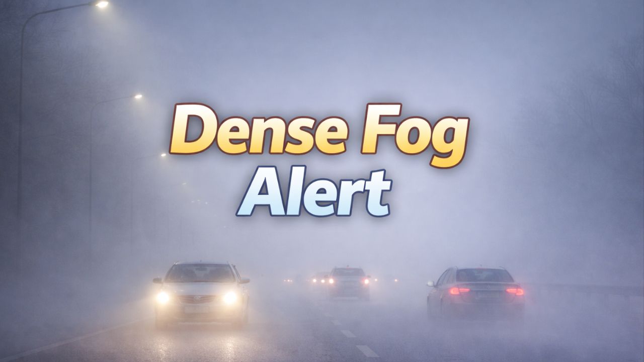
Huntsville, Alabama — Drivers across north Alabama woke up to dangerously low visibility Thursday morning as dense fog blanketed valleys, neighborhoods, and major roadways, turning routine commutes into slow, cautious drives. In some areas, visibility dropped to a quarter mile or less, particularly along busy corridors like I-565 and Memorial Parkway.
Officials warn that while the fog will ease later this morning, unsettled weather remains ahead, including rain, gusty winds, and a notable temperature shift by the weekend.
Dense fog advisory impacts north Alabama
According to the National Weather Service Huntsville, a Dense Fog Advisory remains in effect through mid-morning for much of north and northeast Alabama, including Madison County.
Motorists traveling along I-565, Memorial Parkway, U.S. 231, and surrounding secondary roads are experiencing sudden drops in visibility, especially:
- In low-lying areas
- Near open fields
- Around river valleys and shaded neighborhoods
“Visibility may quickly drop to near zero in pockets,” forecasters cautioned, urging drivers to adjust speeds accordingly.
Officials recommend using low-beam headlights, allowing extra following distance, and avoiding sudden stops as fog density can change rapidly over short distances.
Fog lifts, but clouds and warmth linger
Fog is expected to gradually thin late this morning, improving travel conditions. However, skies will remain mostly cloudy, and unseasonably warm air continues to dominate the region.
High temperatures are expected to climb near 70 degrees, extending what has been an unusually mild stretch for January 2026.
While the warmth may feel welcome, meteorologists say it also helps set the stage for increasing rain chances heading into the end of the workweek.
Rain and travel issues increase by Friday
The next concern arrives later today and intensifies Friday, as showers become more widespread across north Alabama.
Periods of moderate to heavy rain are possible, which could lead to:
- Ponding on roadways
- Minor flooding in poor-drainage and low-lying areas
- Slower commutes, especially during peak travel hours
Gusty winds may accompany stronger showers, further complicating driving conditions.
Drivers are urged to avoid water-covered roads, as even shallow flooding can hide hazards and cause vehicles to lose control.
Read Also: Springlike Warmth Sweeps the East — But Cold Air and Snow Threat Loom Ahead
Emergency officials stress that most weather-related travel accidents occur during rain, not severe storms, due to reduced visibility and slick pavement.
Cooler air arrives this weekend
By Saturday, cooler air filters in behind the rain, signaling a transition away from the spring-like pattern.
Conditions are expected to turn drier, but temperatures will steadily fall through the weekend.
Sunday will bring a more familiar winter feel, with:
- Highs in the low 40s
- Overnight lows near freezing
Any lingering moisture from recent rainfall could refreeze after sunset, raising concerns for patchy black ice, particularly:
- On bridges and overpasses
- Along shaded roads
- In areas that remain damp during the day
Five-day outlook for Huntsville
Here’s what residents can expect over the next several days:
- Today: Dense fog early, mostly cloudy; high near 70
- Friday: Showers, locally heavy rain; high near 67
- Saturday: Showers early, then clearing; high near 67
- Sunday: Sunny and colder; high near 43
- Monday: Sunny, cold morning; high near 46
Stay alert as conditions change
Forecasters say additional advisories may be issued as weather conditions evolve, particularly if rain totals increase or temperatures drop faster than expected.
Residents are encouraged to:
- Keep weather alerts enabled
- Allow extra travel time during fog and rain
- Drive cautiously, especially during early morning and evening hours
While visibility improves later today, the combination of fog, rain, and cooling temperatures means weather-related travel challenges may continue through the weekend.
How are conditions where you’re driving this morning? Share what you’re seeing on the roads in the comments below.