United States — A dangerous and persistent surge of Arctic air is taking shape across much of the country as a displaced polar vortex threatens to lock in the coldest temperatures of the season for weeks, keeping winter firmly entrenched across large portions of the U.S.
Forecasters say more than 170 million Americans are already experiencing below-average temperatures, and the situation may intensify as the polar vortex continues to influence the jet stream pattern through the end of January.
What the Polar Vortex Is — and Why This Setup Is Different
The polar vortex is a large area of extremely cold air that typically remains centered over the North Pole. When it is strong, it keeps the coldest air locked in place. When it weakens or shifts, Arctic air can spill south into lower latitudes.
This time, however, meteorologists say the vortex is not simply weakening.
Instead, it has become stretched and displaced, preventing the coldest air from consolidating in one location. That allows frigid air to spread across a much broader region for a longer period.
When the polar vortex elongates rather than collapses, it can create prolonged cold spells instead of brief outbreaks.
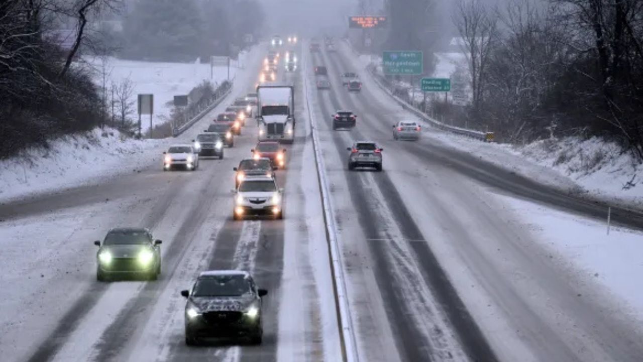
In this case, the displaced vortex is expected to park the coldest air over North America, with the eastern half of the Lower 48 remaining under repeated waves of cold through at least the end of January.
Arctic Cold Builds in Canada, Then Surges South
The first major wave of vortex-driven cold is forecast to strengthen over Canada late next week, then drive southward into the U.S. as January winds down.
While exact temperature extremes are still being refined, forecasters say the highest probability for the most intense cold stretches from:
- The northern Rockies
- The northern Plains
- The Great Lakes
- The Northeast
If the core of the polar vortex shifts farther south into Canada, it could open what meteorologists describe as a “direct channel” for Arctic air to pour into the U.S.
Winter Roars Back After Brief January Thaw
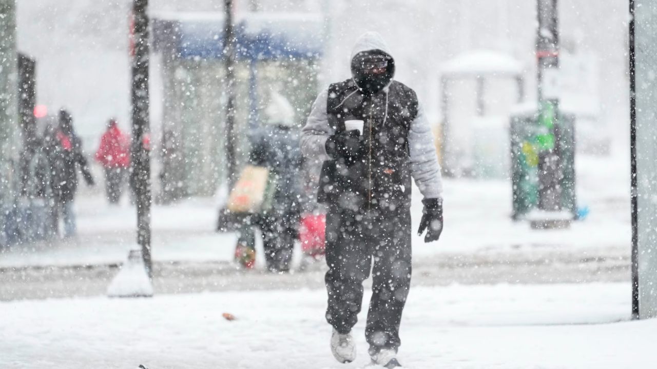
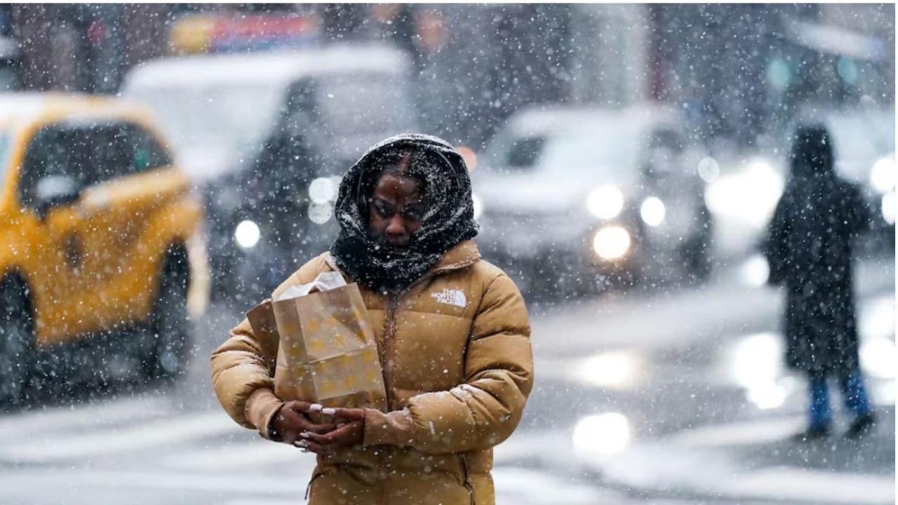
After a short-lived January warmup across much of the country, winter is rapidly reasserting itself.
Temperatures are already crashing well below average across the Upper Midwest and East, with the chill extending unusually far south — even into parts of Florida.
By Thursday, the jet stream is expected to dip sharply southward, driving temperatures 10 to 20 degrees below normal across nearly the entire state of Florida, with the exception of Miami, which should remain closer to seasonal averages, according to forecasters.
Freezing Temperatures Push Deep Into the Southeast
Friday morning could be the coldest of the week for much of the Southeast, with freezing temperatures reaching cities not accustomed to such conditions.
Forecast highlights include:
- Freezing conditions as far south as Jacksonville and Daytona Beach
- Tallahassee forecast near 26°F
- Atlanta, Nashville, and Louisville struggling to reach 40°F for afternoon highs
To put the cold in perspective, forecasters note that Denver, located more than 1,600 miles away and over 5,000 feet higher in elevation, may be nearly the same temperature as parts of North Florida on Friday morning.
Second Arctic Blast Targets Upper Midwest This Weekend
The cold will not ease after the first surge.
A second, even colder shot of Arctic air is expected to slam into the Upper Midwest on Saturday. High temperatures in some areas may struggle to reach 10 degrees, with the cold persisting into early next week.
Wind will make conditions even more dangerous.
Wind chills could plunge to -10 to -20 degrees in cities such as Minneapolis and Chicago by Sunday.
Extreme Cold Coincides With Major Events
The timing of the deep freeze could have real-world impacts beyond daily life.
With an NFL Divisional Playoff game scheduled in Chicago on Sunday night, fans may be exposed to what could become one of the coldest Bears playoff games on record, forecasters warn.
Prolonged exposure in these conditions can become dangerous quickly without proper winter gear.
Why This Cold Could Linger for Weeks
Meteorologists emphasize that this is not a one-off Arctic blast. The stretched polar vortex pattern favors repeated reinforcements of cold air, limiting warm-ups and allowing winter to dominate for an extended stretch.
This setup supports persistence, meaning cold air drains south again and again rather than retreating north.
That increases risks for:
- Energy demand strain
- Frozen pipes
- Prolonged cold exposure
- Travel disruptions
Bottom Line
The heart of winter is taking control across the U.S., and forecasters say the coldest chapter may still be ahead. With the polar vortex displaced and the jet stream locked into a wintry configuration, Arctic air is likely to linger rather than retreat.
Residents across the Northern Tier, Midwest, East, and even parts of the South are urged to prepare for sustained cold, dress in layers, protect homes and pets, and monitor updated forecasts closely.
Do you think this polar vortex setup will break before February, or are we in for a long, punishing winter stretch? Share your thoughts in the comments.