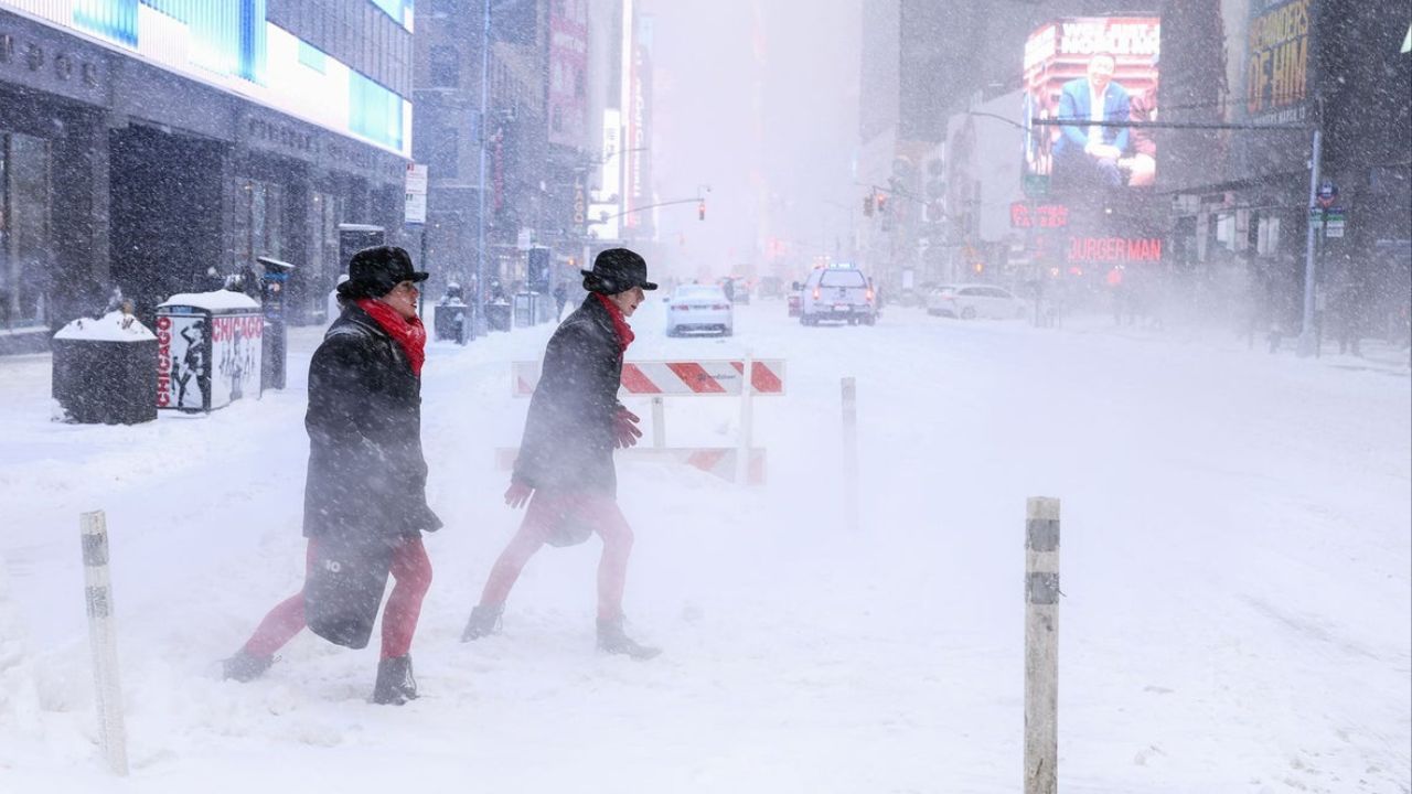
Chicago, Illinois — A winter weather advisory has been expanded across the Chicago area as forecasters warn that several inches of snow and hazardous travel conditions are increasingly likely from Tuesday night into Wednesday, followed by another round of snow and a return to dangerously cold air later this week.
According to the National Weather Service, multiple counties in northern Illinois and southeast Wisconsin are now under advisories as a developing snow system moves through the region.
Advisory area grows as storm nears
The initial winter weather advisory was issued for Lake and McHenry counties in Illinois, beginning at 8 p.m. Tuesday and lasting until 6 a.m. Wednesday. A separate advisory followed for Kenosha County, Wisconsin, starting at 9 p.m. Tuesday.
By midafternoon Tuesday, forecasters expanded the advisory to include DeKalb, Kane, DuPage, and northern and central Cook counties, including much of the Chicago metro area. This expanded advisory takes effect at 10 p.m. Tuesday and remains in place through 8 a.m. Wednesday.
Officials say the expansion reflects increasing confidence in accumulating snow and travel impacts, particularly during the overnight hours and early morning commute.
“Be prepared for hazardous travel due to snow-covered roads,” the advisory states. “The slippery conditions may also impact part of the Wednesday morning commute.”
Snow totals could reach several inches
Forecasters expect widespread snow accumulations of 2 to 5 inches, with the highest totals most likely near the Wisconsin–Illinois state line.
In Lake and McHenry counties, meteorologists are watching for the development of a heavier snow band.
If snowfall rates remain elevated for a long enough period, localized totals could reach 5 inches, according to the advisory.
Elsewhere, including Cook, DuPage, Kane, and DeKalb counties, snowfall amounts are generally expected to range between 2 and 4 inches.
Read Also: North Texas Weather Alert: Arctic Front Could Deliver Rain, Ice, Sleet, and Snow This Weekend
The National Weather Service noted that:
- Higher totals are most likely near and north of Interstates 88 and 290
- Snow amounts should taper southward, with some areas receiving closer to 2 inches or less
However, forecasters cautioned that localized heavier bands could still push totals higher in northern portions of these counties.
Snow ends briefly, then returns
The first round of snow is expected to wind down Wednesday morning, improving conditions temporarily. But the break may be short-lived.
Another cold front is forecast to move in later Wednesday, bringing additional snow showers and gusty winds, which could cause blowing and drifting snow into Wednesday evening.
The second round of snow is expected to begin around 5 p.m. Wednesday, first impacting counties west of Chicago before spreading east.
“Just in time for the afternoon and evening commutes,” forecasters warned.
Wind gusts during this second round could reach up to 35 mph, reducing visibility and making travel conditions unpredictable even where snowfall amounts remain light.
Dangerous cold returns late week
Behind the snow, brutally cold Arctic air is expected to surge back into northern Illinois later in the week.
Forecasters warn that Friday morning temperatures will fall below zero, with wind chills dropping as low as –35 degrees in parts of the region.
In counties north and west of Chicago, wind chills between –35 and –40 degrees are possible, posing a serious risk for frostbite on exposed skin.
Saturday is expected to remain bitterly cold, with single-digit temperatures, before a slight moderation into the teens by Sunday.
Travel and safety concerns
With multiple rounds of snow, gusty winds, and extreme cold, officials urge residents to take precautions:
- Allow extra travel time, especially overnight and early Wednesday
- Avoid unnecessary driving during heavier snow bands
- Dress in layers and limit outdoor exposure during extreme cold
- Check on vulnerable neighbors, pets, and the elderly
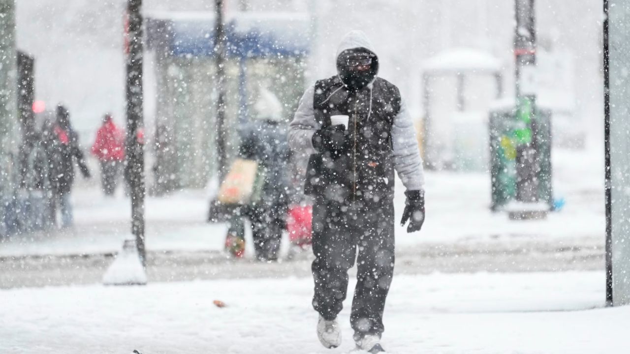
Even after snow ends, blowing snow and refreezing could continue to create slick conditions on untreated roads and sidewalks.
What to expect next
Meteorologists say conditions will continue to evolve through Wednesday, with updates likely as snow bands shift and wind strength becomes clearer.
Residents across the Chicago area are advised to monitor forecasts closely, especially with another round of snow and dangerous cold still ahead.
Do you think your area will see the higher-end snowfall totals? How are you preparing for the snow and extreme cold? Share your thoughts in the comments.