
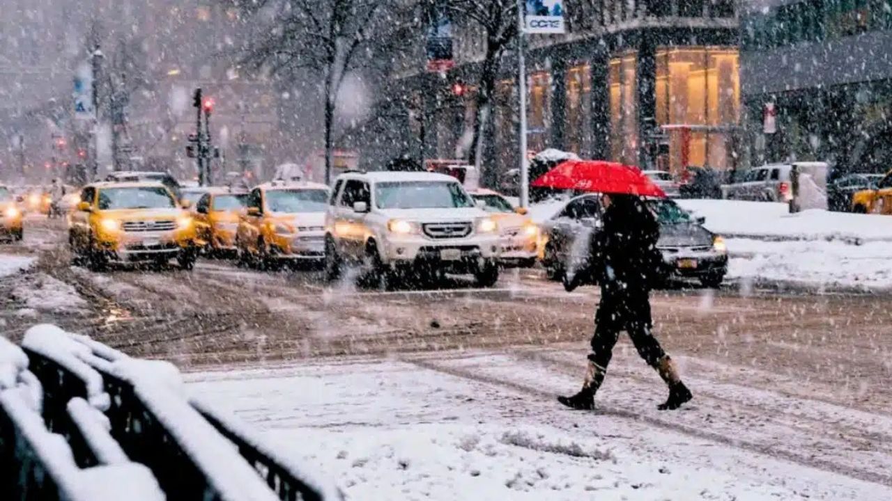
Dallas, Texas — North Texas is on track to face its first true winter storm of the season this weekend, and forecasters say the outcome will hinge on timing down to the hour.
A powerful Arctic cold front is expected to arrive Friday, triggering a rapid temperature drop and setting up a multi-stage precipitation event that could include cold rain, freezing rain, sleet, and possibly snow between Friday and Sunday.
While forecast details are still evolving, meteorologists agree on one thing: the cold will arrive quickly and linger.
Arctic front arrives Friday, temperatures tumble
The incoming system is a genuine Arctic front, not a routine cold push. Temperatures are expected to fall steadily through the day Friday as the front moves in during the morning hours.
Key temperature expectations:
- Friday morning: temperatures in the 40s
- Friday night: readings drop to near freezing
- Saturday–Sunday: many areas may stay at or below 32°F
- Above-freezing temperatures may not return until Monday
“Once this cold air settles in, it’s not in a hurry to leave.”
Because the cold will be persistent, even brief periods of wintry precipitation could have outsized impacts, especially overnight.
Stage one: Cold rain starts the event
Friday’s precipitation is expected to begin as plain rain. With temperatures staying above freezing for most of the day, early impacts should be limited.
Rain will spread across North Texas ahead of the front, and roads should remain mainly wet rather than icy through the daylight hours.
However, conditions change rapidly after sunset.
Stage two: Freezing rain develops overnight
As colder air deepens Friday night into early Saturday, surface temperatures are expected to fall below freezing while warmer air lingers just above ground level. That combination creates the classic setup for freezing rain.
Why freezing rain is dangerous:
- It freezes on contact with roads and bridges
- Even light amounts can create slick, invisible ice
- Elevated surfaces ice over first
“This is the phase that causes the most concern for travel.”
Stage three: Sleet may mix in Saturday
During the day Saturday, precipitation may continue falling through a shallow warm layer aloft. If that layer weakens but doesn’t disappear entirely, sleet could mix in with freezing rain.
Sleet often bounces on impact and can accumulate quickly, reducing traction even faster than snow.
Important:
Small temperature differences — sometimes just 1–2 degrees — will decide whether North Texas sees more ice or sleet.
Read Also: Boston Weather Forecast: Arctic Cold Battles Powerful Winter Storm With High-Stakes Weekend Outcome
Stage four: Snow becomes possible late Saturday
If the atmosphere cools enough from top to bottom, precipitation could transition to snow, most likely late Saturday or Saturday night.
However, forecasters caution:
- The snow window may be brief
- Ice and sleet could last longer than snow
- Warm ground temperatures may limit early accumulation
“Snow is possible, but it may be the shortest phase of the event.”
Sunday: Cold dominates, slick spots may linger
By Sunday morning, only a few flurries are possible. Most of the day looks dry, but very cold.
Temperatures may struggle to reach freezing, which means:
- Any ice that forms Saturday may not melt
- Shaded roads, bridges, and overpasses could remain slick
- Refreezing could occur overnight into Monday morning
Sunday’s biggest hazard may not be falling precipitation — but what’s left behind.
Why timing matters so much
This setup is unusually complex for North Texas because four precipitation types are possible in one weekend. The exact impacts depend on:
- When the Arctic front arrives
- How quickly temperatures drop
- How long precipitation overlaps with sub-freezing air
Even small shifts could dramatically change outcomes.
What residents should do now
With several days still to go, officials recommend preparing early.
Smart steps include:
- Monitoring updated forecasts daily
- Planning for possible travel disruptions
- Protecting pipes, pets, and plants
- Avoiding unnecessary overnight driving
“This is a situation where preparation matters, even if the worst-case scenario doesn’t happen.”
Bottom line
North Texas is facing a highly variable winter setup where rain could quickly turn into ice, sleet, or snow. While totals remain uncertain, the cold is a lock, and impacts are possible from Friday night through Sunday.
As forecast confidence improves, details will sharpen. Until then, flexibility and awareness will be key.
What do you think North Texas will see most — ice, sleet, or snow? Share your thoughts in the comments.


