Indiana, Pennsylvania — A developing winter storm is raising serious concerns across western Pennsylvania and the higher elevations of the Laurel Highlands, where heavy snow, strong winds, and deteriorating travel conditions could make roads dangerous — or even impossible — by late Sunday into Monday.
The region is already dealing with lingering snow and ice from earlier in the week, and forecasters say the next system could significantly worsen conditions, especially in snow-prone and elevated areas.
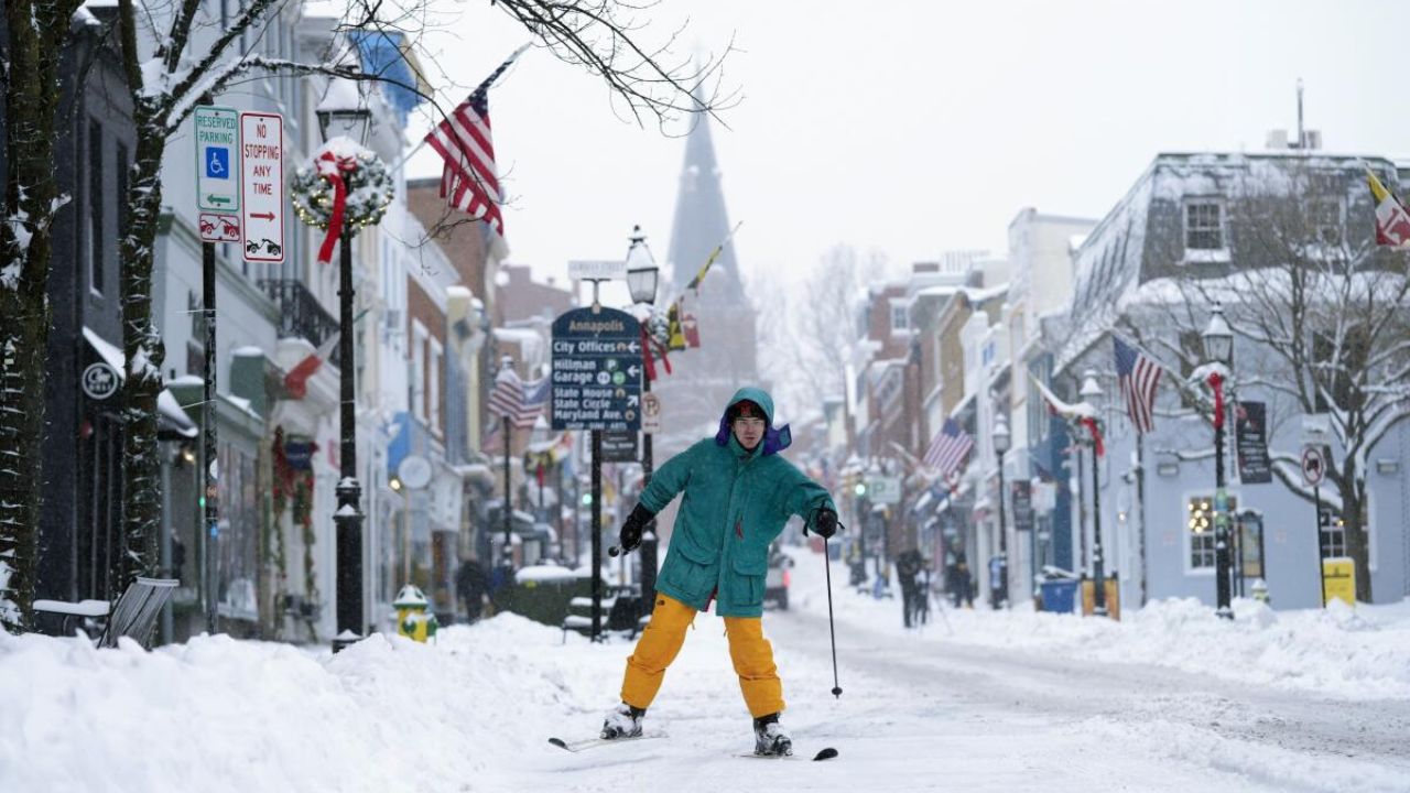
Lingering snow and ice impact Thursday travel
According to the National Weather Service office in Pittsburgh, a Winter Weather Advisory remains in effect through Thursday morning for parts of northwest and western Pennsylvania.
Forecasters say an additional inch of snow is possible in some areas, along with a light glaze of ice that could make untreated roads slick during the morning commute.
Strong winds are also a concern.
“Wind gusts up to 45 miles per hour are possible,” forecasters warned, “which could bring down tree limbs and lead to isolated power issues.”
Drivers are urged to use caution, especially during early morning and evening travel periods when temperatures remain near freezing.
Attention shifts to weekend winter storm
While Thursday’s impacts are expected to ease by midday, meteorologists say the bigger threat arrives this weekend.
A Winter Storm Watch has been issued from Saturday evening through Monday afternoon, signaling increasing confidence in a significant snow event across parts of western Pennsylvania and nearby regions.
Counties included in the watch area include Mercer, Venango, Forest, Clarion, Jefferson, and Indiana, along with the higher elevations of Westmoreland and Fayette counties.
Read Also: Arctic Cold Front Brings Snow Chances and Dangerous Wind Chills to Cheyenne Area
Heavy snow expected across multiple communities
Communities that could see periods of moderate to heavy snowfall include Indiana, Punxsutawney, Sharon, Grove City, Clarion, Ligonier, Ohiopyle, and Donegal.
Forecasters say snowfall rates could become intense at times, especially overnight Sunday into Monday morning.
When snowfall rates increase, roads can become slick or snow-covered faster than crews can clear them.
Travel could become impossible late Sunday into Monday
The most dangerous conditions are expected late Sunday through Monday morning, when snow intensity and wind may combine to sharply reduce visibility.
“Travel could become very difficult to impossible in some areas,” forecasters cautioned.
Blowing and drifting snow may further complicate conditions, particularly in open and elevated areas where winds are stronger.
Higher elevations face the worst impacts
The highest impacts are expected in the Laurel Highlands and nearby mountain regions, where colder temperatures and elevation favor heavier snowfall.
In addition to western Pennsylvania, eastern Preston and Tucker counties in West Virginia — including Canaan Valley and Davis — are also included in the Winter Storm Watch.
These locations could see some of the most severe conditions due to higher elevation, with prolonged snowfall and limited visibility.
Hazardous conditions may linger into Monday afternoon
Even after snowfall begins to taper off, officials warn that hazardous travel conditions could persist into Monday afternoon, particularly on secondary roads and in rural areas.
Cold temperatures may prevent melting, allowing snow and ice to remain on road surfaces longer than usual.
Power outages are also possible, especially if heavy snow combines with gusty winds and weakens tree limbs.
Residents urged to prepare early
Emergency officials are urging residents across the watch area to complete preparations before the weekend.
Recommended steps include:
- Avoiding unnecessary travel during the storm
- Stocking up on essentials and medications
- Checking emergency supplies, including flashlights and batteries
- Ensuring vehicles are winter-ready with fuel, blankets, and traction aids
“Waiting until the storm begins could make travel unsafe or impossible,” officials warned.
More alerts likely as confidence increases
Forecasters stress that snowfall totals and exact impacts may still change, but confidence is increasing that this will be a high-impact winter storm for parts of western Pennsylvania.
Additional warnings or advisories may be issued as the storm approaches and forecast details become clearer.
Residents are strongly encouraged to monitor forecast updates closely through the weekend.
Do you expect to change your travel plans because of the approaching winter storm? Share how conditions look in your area in the comments below.