Washington, DC – A sharp Arctic front sweeping through the Mid-Atlantic on Monday is expected to bring a rapid temperature drop across the Washington metro area, raising concerns about icy road conditions and dangerous cold heading into Tuesday morning.
Forecasters say conditions may appear manageable during the daytime hours Monday, but drivers and residents are being urged not to let their guard down. As colder air surges in Monday night, any lingering moisture on roads could quickly refreeze, creating hazardous travel conditions during the late-night and early-morning commute.
Arctic front arrives late Monday
According to the National Weather Service Baltimore/Washington, temperatures on Monday will run slightly warmer than the past few days but still below normal for this time of year. Highs are expected to range between 20 and 42 degrees, depending on location and elevation.
However, that brief moderation will be short-lived.
“A strong Arctic front will push through later Monday, allowing much colder air to spill into the region overnight,” forecasters said.
Once the front passes, winds will shift and increase, accelerating heat loss and allowing road surfaces to cool rapidly. Overnight lows are forecast to plunge to between 0 and 19 degrees, setting the stage for refreezing.
Travel risks increase overnight and Tuesday morning
Drivers across the District, Northern Virginia, and central Maryland should prepare for rapidly changing roadway conditions, especially late Monday night into Tuesday morning.
Major corridors expected to be impacted include I-95, I-495 (the Capital Beltway), I-270, U.S. Route 50, and the Baltimore-Washington Parkway. Elevated surfaces such as bridges, overpasses, entrance ramps, and shaded roadways will be particularly vulnerable to black ice.
“Even roads that appear dry during the day can turn slick very quickly once temperatures fall below freezing,” meteorologists cautioned.
While widespread precipitation is not expected, residual moisture from earlier conditions or melting during daylight hours may be enough to create isolated icy patches.
Tuesday brings the coldest conditions so far
Tuesday is shaping up to be one of the coldest days of the season for the Washington region. High temperatures are expected to struggle, reaching only 12 to 31 degrees, with morning lows ranging from 2 to 18 degrees.
Despite mostly sunny skies, the cold will linger throughout the day. Winds behind the Arctic front will continue to make conditions feel colder than actual air temperatures, particularly during the morning commute.
Key concerns for Tuesday include:
- Refreezing on untreated roads
- Reduced traction during early travel
- Increased risk of cold-related exposure
Officials stress that the absence of snow does not eliminate winter hazards when temperatures are this low.
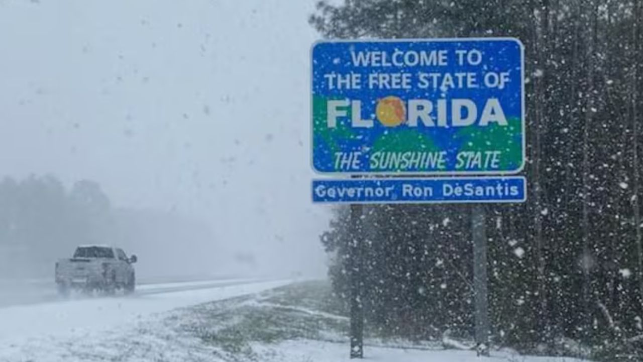
Read Also: From Chicago to NYC, Arctic Cold and Snow Set to Slam Eastern U.S.
Brief midweek break before more cold
A short-lived warming trend is expected by midweek. Forecasts show temperatures rebounding into the mid-30s to upper 40s on Wednesday and Thursday, offering some relief from the deep freeze.
However, that improvement may not last long.
“Another cold front is expected to arrive late Thursday, bringing a renewed drop in temperatures to close out the week,” forecasters noted.
Residents should be prepared for fluctuating conditions and continue monitoring updated forecasts.
Safety reminders for residents and drivers
With Arctic air settling in, officials are urging residents to take extra precautions both at home and on the road.
Recommended safety steps include:
- Dress in layers and cover exposed skin to prevent frostbite
- Limit prolonged time outdoors, especially overnight and early mornings
- Ensure vehicles are winter-ready, including checking tire pressure and antifreeze levels
- Keep emergency supplies in vehicles, such as blankets, flashlights, water, and phone chargers
Cold temperatures can also impact vehicle performance, making preparedness especially important for commuters and long-distance travelers.
As the Arctic front settles over the region, residents are encouraged to stay weather-aware and cautious, particularly during early-morning travel windows.
Have you noticed icy conditions in your area or delays during recent cold snaps? Share your experience and tips with other readers in the comments.