Hastings, Nebraska — Central Nebraska is set for a mild and springlike start to the workweek, with temperatures in Hastings climbing well above normal before a noticeable cooldown arrives by midweek, accompanied by gusty winds.
Forecasters say the temperature swing will be a reminder of how quickly winter patterns can change in January, even after a brief stretch of warmth.
Monday Brings the Warmest Day of the Week
According to the National Weather Service in Hastings, Monday will be the warmest day of the week across the region.
High temperatures are expected to range from 56 to 62 degrees, which is well above average for mid-January. Skies will remain mostly sunny, and winds will be relatively light compared to later in the week.
Winds on Monday are forecast to blow from the west at 5 to 15 mph, making outdoor conditions feel comfortable for commuters, students, and anyone spending time outside.
“This will likely be the calmest and mildest day of the week,” forecasters noted.
Mild but Windier Conditions on Tuesday
The warm pattern continues into Tuesday, with highs once again reaching the upper 50s to low 60s across Hastings and surrounding areas.
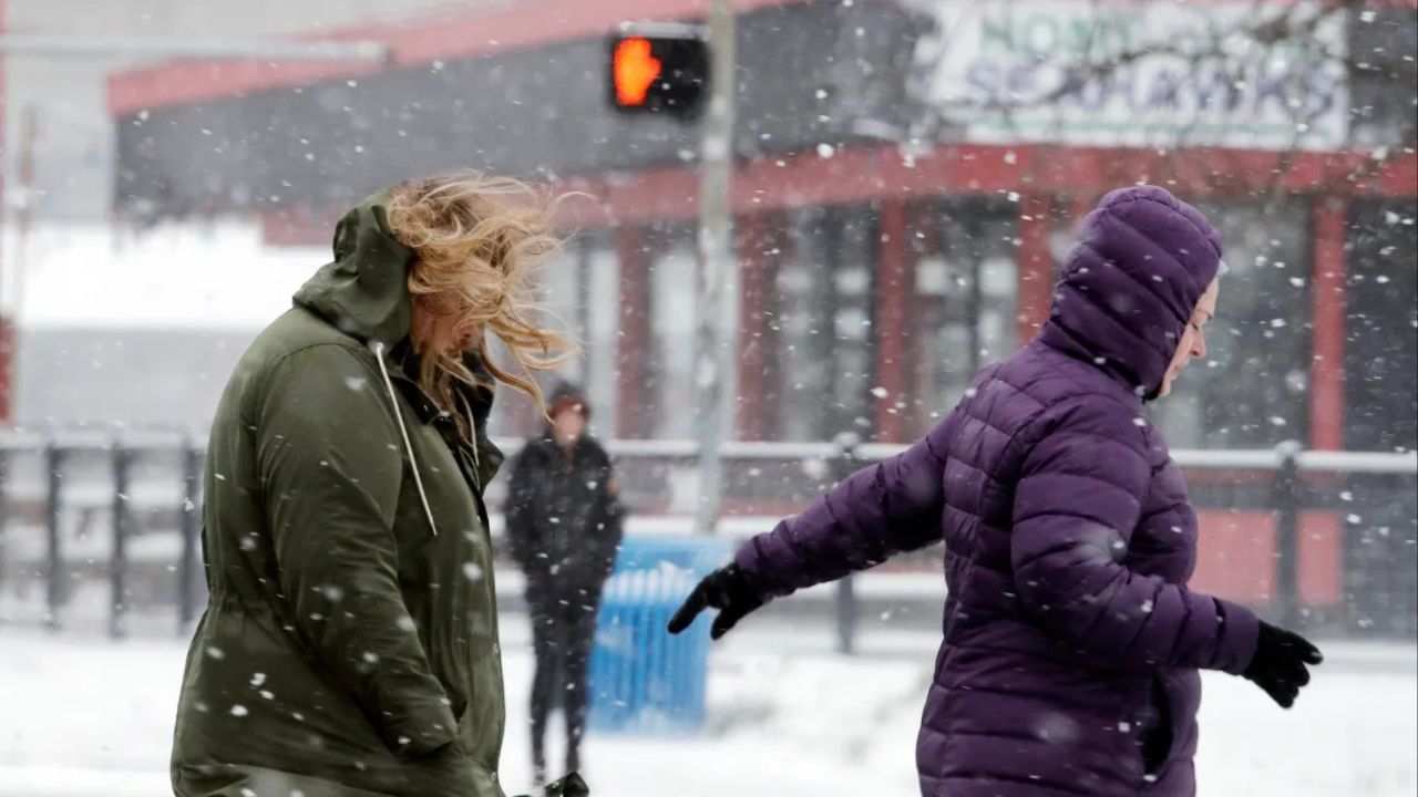
However, the weather will begin to feel less tranquil as winds strengthen significantly. West-northwest winds are expected to become breezy to windy, with gusts reaching 25 to 35 mph during the day.
Despite the stronger winds, conditions are expected to remain mostly dry, allowing the mild temperatures to persist through much of the day.
Cold Front Brings Midweek Reality Check
A cold front is forecast to move through late Tuesday into Wednesday, signaling the end of the unseasonably warm stretch.
By Wednesday, high temperatures are expected to fall back into the upper 30s to mid-40s, which is closer to what is typical for January in central Nebraska.
Winds will remain a factor, shifting to the northwest at 15 to 25 mph, with occasional higher gusts adding an extra chill to the air.
“Temperatures will return closer to reality for this time of year,” meteorologists said.
Light Precipitation Possible, But Impacts Unlikely
Forecasters are also monitoring a low chance of light precipitation from Tuesday afternoon through Wednesday morning.
Any precipitation that develops would likely fall as:
- Brief sprinkles
- Isolated flurries
The National Weather Service emphasized that no accumulation or significant impacts are expected, and travel disruptions are unlikely.
Slight Rebound by Thursday
By Thursday, temperatures are expected to recover modestly, with highs ranging from 40 to 55 degrees across the region.
Read Also: Avalanche Near Longs Pass Kills Two Backcountry Tourers, Prompts Rescue Effort in Central Washington
While conditions will remain breezy, the overall pattern looks drier, allowing for more stable weather heading toward the end of the workweek.
What Residents Should Expect This Week
No weather advisories are currently in effect, but the changing conditions could still be noticeable.
Residents are advised to be prepared for:
- Strong winds Tuesday and Wednesday
- Rapid temperature changes
- Chillier mornings and evenings midweek
Outdoor workers, drivers of high-profile vehicles, and students waiting at bus stops may especially feel the effects of the wind.
As central Nebraska transitions from mild to more seasonable winter weather, forecasters say staying aware of daily changes will help residents plan accordingly.
Are you enjoying the brief warm-up, or ready for winter to feel more like winter again? Share how the changing weather is affecting your plans in the comments below.