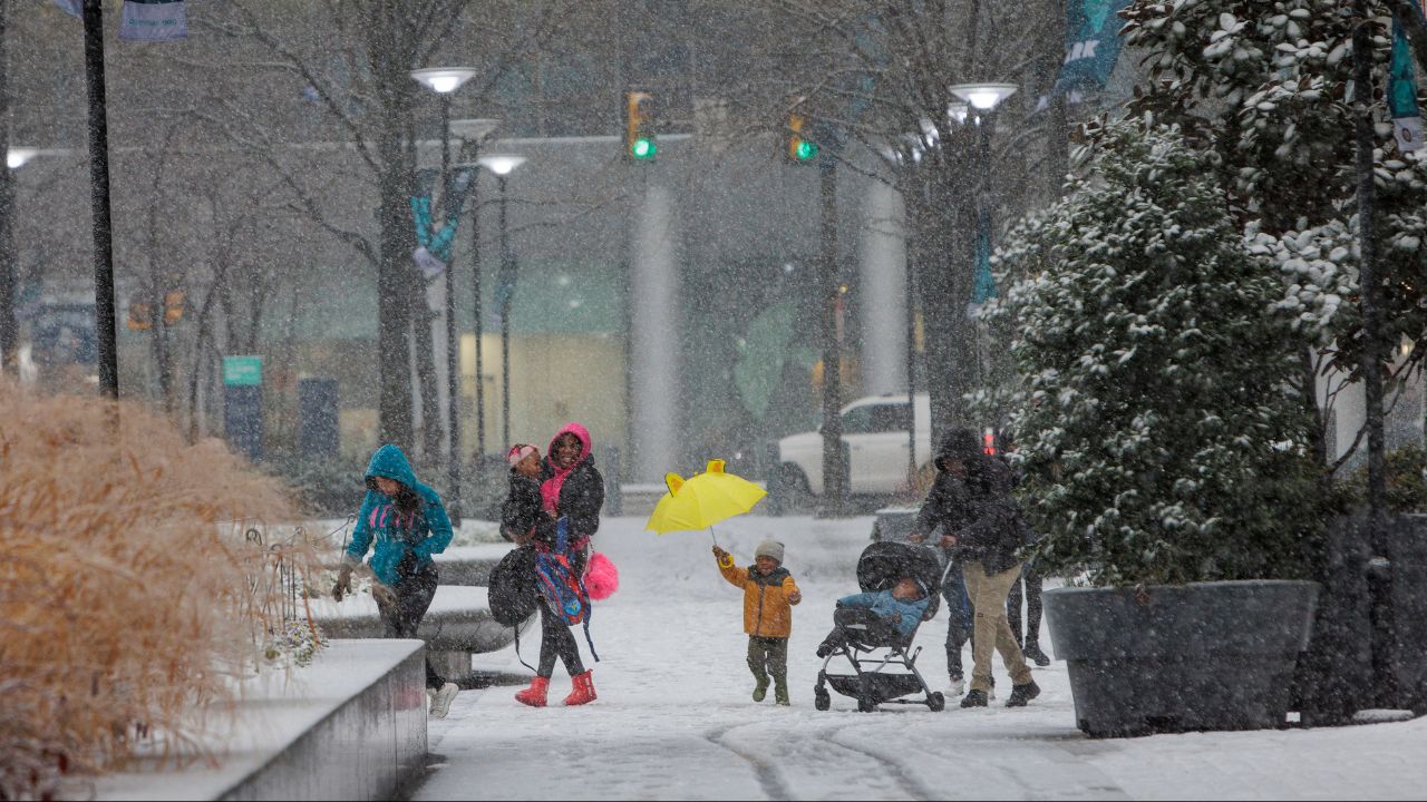
Illinois — A surge of Arctic air is set to grip the state this weekend, bringing dangerously cold wind chills and increasing the risk of frostbite across Illinois from Saturday through early next week. Forecasters warn that this cold snap will be persistent, with repeated rounds of subzero wind chills affecting nearly every region.
According to the National Weather Service office serving central Illinois, temperatures will fall sharply beginning Saturday as strong northwest winds usher in much colder air. Wind chill values are expected to dip below zero statewide, with central Illinois facing readings between –5°F and –15°F, and even colder pockets possible overnight.
Frostbite Risk Increases Rapidly
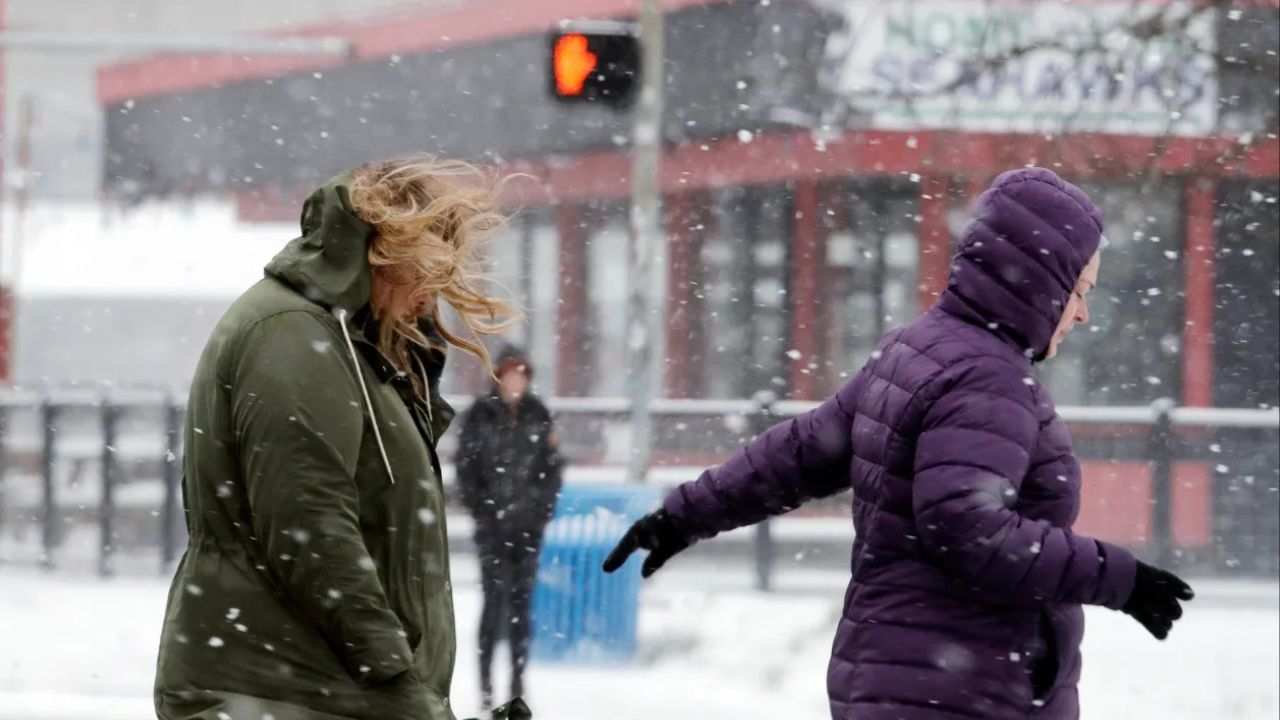
Meteorologists emphasize that wind chill — not just air temperature — determines how quickly skin can freeze. In the forecast conditions, frostbite can occur on exposed skin in as little as 10 to 30 minutes, particularly during the overnight and early morning hours when winds remain elevated.
Prolonged exposure during subzero wind chills significantly raises the risk of cold-related injuries, even for those dressed in winter clothing.
Hands, faces, ears, and feet are especially vulnerable, and the danger increases when wind speeds pick up.
Cold Pattern Locks In Through Midweek
The cold air mass is expected to be reinforced repeatedly by persistent northwest winds, preventing temperatures from rebounding during the day and keeping nighttime lows especially harsh.
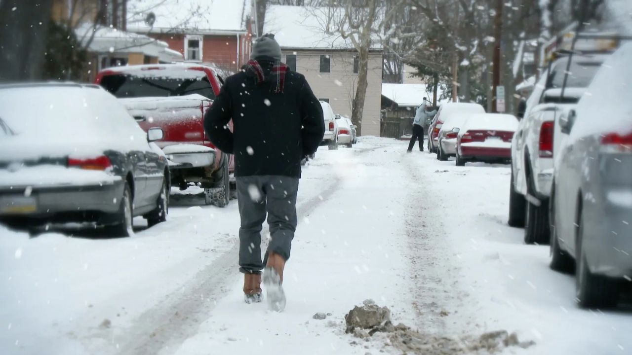
While snowfall amounts are expected to be minimal, the cold itself remains the primary concern. Forecasters caution that overnight refreezing could still lead to slick spots on roads, sidewalks, and parking lots, especially where moisture remains from earlier precipitation.
Read Also: Weekend Snow Targets Massachusetts Twice as Arctic Pattern Tightens Its Grip
The coldest stretch is forecast from Sunday night through Tuesday morning, when wind chills may remain below zero for extended periods, increasing cumulative exposure risks.
Who Is Most at Risk
Officials urge extra caution for:
- Children waiting for school transportation
- Outdoor workers
- Elderly residents
- People without reliable heating
- Anyone traveling long distances
Pets and livestock are also at risk, and residents are encouraged to bring animals indoors or ensure adequate shelter from wind and cold.
Safety Guidance for the Cold Snap
Residents across Illinois are advised to:
- Dress in layers and wear wind-resistant outer clothing
- Cover all exposed skin, including hats, gloves, and scarves
- Limit time outdoors, especially during overnight and early morning hours
- Check on neighbors who may need assistance
- Prepare vehicles with emergency cold-weather supplies
Stay Alert for Updates
Forecasters say this Arctic pattern may evolve, and additional cold weather advisories or wind chill warnings could be issued as conditions develop.
The National Weather Service recommends continuing to monitor updated forecasts through the weekend and into next week as Illinois braces for one of the coldest stretches of the season.
How cold is it already where you live, and are you feeling the wind chill yet? Share what you’re seeing in your part of Illinois in the comments.