
New Orleans, Louisiana — A surge of Arctic air is expected to bring dangerously cold conditions to large portions of southeast Louisiana and southern Mississippi early next week, prompting forecasters to issue an Extreme Cold Watch that could affect millions across the central Gulf Coast.
According to the National Weather Service office in New Orleans, the cold outbreak is expected to develop Sunday evening and persist through Tuesday morning, with wind chills plunging near zero to the lower teens across both inland and coastal communities.
Officials warn this could be one of the most severe cold events of the season for the region, with risks extending beyond personal safety to homes, infrastructure, and essential services.
Extreme Cold Watch covers wide Gulf Coast region
The Extreme Cold Watch includes major population centers in southeast Louisiana and southern Mississippi, spanning urban, suburban, and rural areas.
Communities included in the watch area include:
- New Orleans
- Baton Rouge
- Houma
- Slidell
- Hammond
- Covington
- Gulfport
- Biloxi
- Pascagoula
- McComb
Dozens of surrounding inland and coastal communities are also expected to feel the effects as the Arctic air mass spreads southward.
Forecasters emphasize that cold of this intensity is uncommon for the region, increasing the likelihood of widespread impacts.
Wind chills near zero raise serious safety concerns
While actual air temperatures will fall well below freezing, strong winds will make conditions feel significantly colder, driving wind chills into a dangerous range.
“Wind chills near zero can cause frostbite in a short period of time,” forecasters warned. “Prolonged exposure may lead to hypothermia, especially overnight and during the early morning hours.”
The most dangerous conditions are expected late Sunday night through early Tuesday, when overnight lows combine with persistent wind.
Prolonged freeze threatens pipes and infrastructure
In addition to health risks, officials warn that multiple nights of freezing temperatures could lead to ruptured water pipes, especially in homes and businesses not built for extended cold.
Key concerns include:
- Burst or frozen pipes
- Water outages
- Damage to irrigation and plumbing systems
- Strain on heating systems
Forecasters note that even coastal areas — which typically avoid the worst winter cold — may experience hard freezes, increasing the risk of damage.
“Extended freezing temperatures pose a higher risk than a single cold night,” officials said.
Vulnerable populations at increased risk
The cold outbreak follows a weekend winter system and may linger for several nights, compounding its impact.
Officials say the following groups face elevated risk:
- Older adults
- Young children
- People without reliable heating
- Outdoor workers
- People experiencing homelessness
- Pets and livestock
Local agencies and community organizations are expected to monitor conditions closely and may activate warming resources if temperatures drop further.
What residents should do now
Emergency officials urge residents to begin preparations before Sunday evening, when temperatures are expected to drop rapidly.
Recommended steps include:
- Dress in layers and cover exposed skin
- Bring pets indoors
- Wrap exposed pipes or allow faucets to drip
- Safely use space heaters and never use grills or ovens for heat
- Check on elderly neighbors and family members
- Ensure backup heat sources are ready
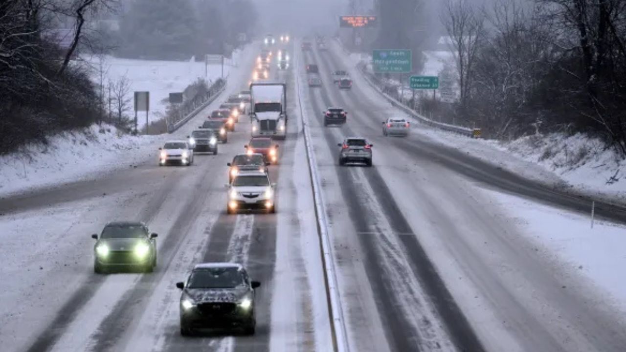
Residents with travel plans should also prepare for icy bridges and overpasses, especially during early morning hours.
Cold could linger into midweek
Forecasters caution that temperatures may remain below freezing into Tuesday, with some areas struggling to warm significantly during the daytime.
Even where afternoon temperatures briefly rise, overnight refreezing is expected, prolonging hazards on roads and sidewalks and increasing the risk of additional pipe damage.
“This is not a one-night cold snap,” meteorologists stressed. “The duration of the cold is what makes this event particularly concerning.”
Read Also: Cooler, Gray Weather Takes Over Southern California As Light Rain Moves In
Stay alert for upgrades to warnings
An Extreme Cold Watch means conditions are possible but not yet guaranteed. If confidence increases, the watch could be upgraded to an Extreme Cold Warning, signaling an even higher level of threat.
Residents are urged to monitor local forecasts and official alerts closely over the next several days, as details regarding wind chill values and duration may change.
Preparing the Gulf Coast for rare cold
While snow and ice often grab attention, forecasters say cold-related impacts can be just as dangerous — especially in regions unaccustomed to prolonged freezes.
Officials stress that early preparation can prevent injuries, property damage, and life-threatening situations as the Arctic air arrives.
How are you preparing for the extreme cold in your area? Are you worried about pipes, pets, or travel? Share your plans and local conditions in the comments below.


