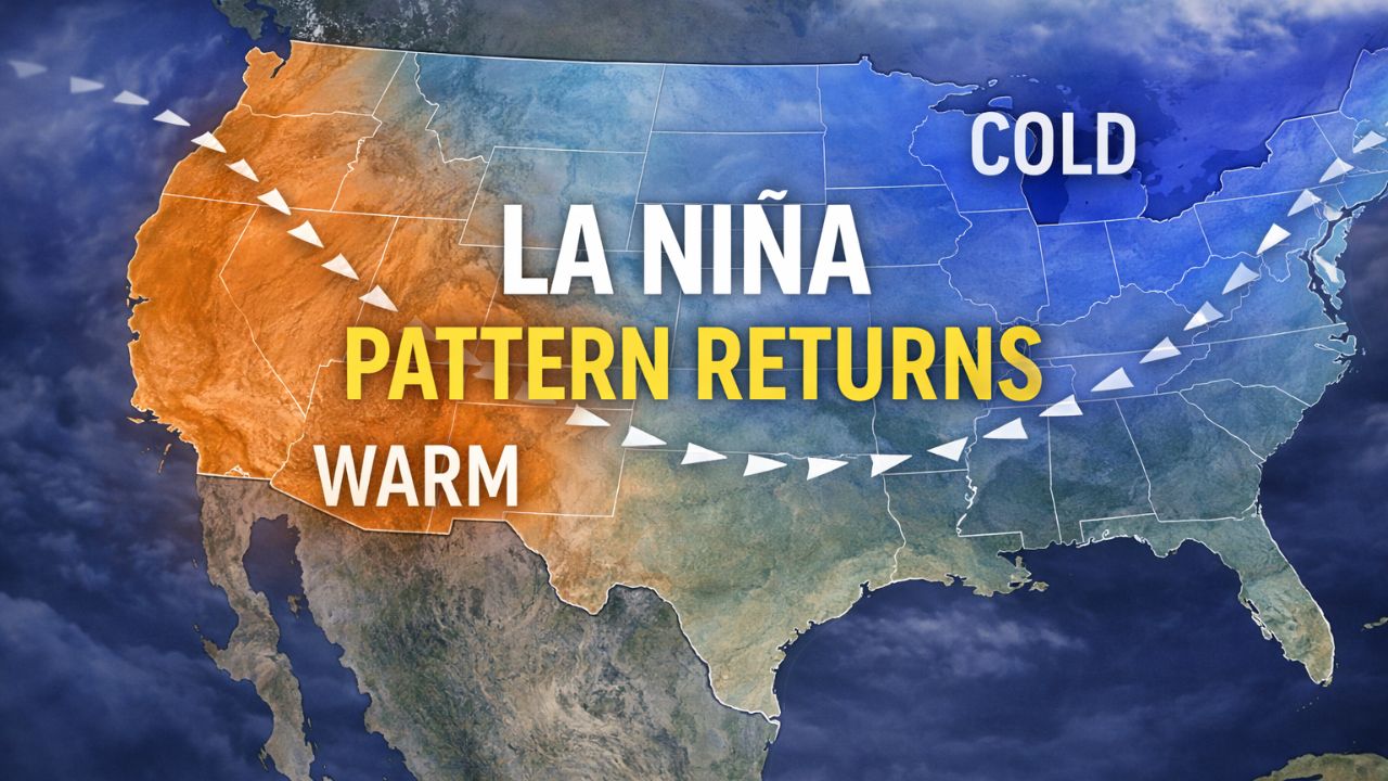
New York City, New York — A powerful winter storm is set to impact New York City and the broader Tri-State region this weekend, prompting a Winter Storm Warning as forecasters predict heavy snow, dangerous ice, and prolonged cold from Sunday into early Monday.
Meteorologists say the storm has the potential to become one of the most disruptive winter events in years, with rapidly deteriorating travel conditions and widespread impacts across New York, New Jersey, and eastern Pennsylvania. A Cold Weather Advisory will also take effect Friday night, as a sharp cold front ushers in frigid air that will linger even after snowfall ends.
Snow Totals Could Vary Sharply By Location
Forecast models show a wide range of snowfall amounts depending on where the storm’s heaviest bands set up.
Areas north and west of New York City are expected to see the most significant accumulations. Portions of northwestern New Jersey, the Hudson Valley, and eastern Pennsylvania could receive 12 to 18 inches of snow, especially where snowfall remains all snow without mixing.
Closer to the coast, totals are expected to be lower but still impactful. Much of New York City, Long Island, and central New Jersey could see 8 to 12 inches, enough to cause major travel disruptions and strain snow removal operations.
Forecasters have also outlined a 4 to 12 inch zone across southeastern Monmouth County, most of Ocean County, and the south shore of Long Island, where sleet is more likely to mix in earlier.
Timing Of The Storm
Snow is expected to begin early Sunday morning, likely around dawn in New York City and nearby areas. Once it starts, conditions are expected to deteriorate quickly.
During the late morning and midday hours Sunday, snowfall rates could reach 1 to 2 inches per hour, producing near-whiteout conditions at times.
“This is the period when travel will be most difficult, if not impossible,” forecasters warned.
As the afternoon progresses, sleet and possibly freezing rain may mix in, particularly in coastal and southern locations. While this could limit final snowfall totals in some areas, it will significantly increase the risk of icy roadways and sidewalks.
Snow is expected to continue into Sunday evening, though at lighter rates, before tapering to lighter snow overnight. Some lingering snow showers may persist into Monday morning, but additional accumulation is expected to be minimal by that point.
Ice Adds To The Hazard
While snow will be the primary concern for many communities, ice poses an additional threat, particularly where sleet or freezing rain develops.
Even small amounts of ice can make untreated roads and walkways extremely slick. Forecasters say bridges, overpasses, and elevated roadways will ice over quickly once precipitation begins.
“Ice will likely be a major factor in travel impacts, especially south and east of the city,” meteorologists said.
Cold Air Will Lock In Impacts
The storm will be followed by continued cold air, preventing snow and ice from melting quickly. Overnight temperatures will remain well below freezing into early next week.
This prolonged cold means snow and ice will linger on roads, sidewalks, and driveways, increasing the risk of refreezing each night even if some melting occurs during the day.
Preparations Underway Across The Region
Government agencies across the Tri-State area have been preparing for the storm for several days. Road crews are pretreating major routes, and transit agencies are planning for possible delays or service changes.
Residents have been seen stocking up on food, medications, and emergency supplies in anticipation of hazardous conditions.
Officials urge residents to avoid unnecessary travel on Sunday, especially during the heaviest snowfall window.
Read Also: Dangerously Cold Arctic Air Spreads Across Plains, South Faces Severe Freeze This Weekend
What Residents Should Do Now
Emergency officials recommend taking the following steps ahead of the storm:
- Complete errands by Saturday
- Charge electronic devices and backup batteries
- Have enough food, water, and medications for several days
- Dress in layers and limit time outdoors
- Check on elderly neighbors and those with mobility challenges
Those who must travel should prepare for long delays and rapidly changing conditions.
One Of The Biggest Storms In Years
Meteorologists say the setup shares similarities with some of the region’s most disruptive winter storms, though final impacts will depend on how quickly sleet mixes in and where the heaviest snow bands stall.
Even in areas where totals are lower, the combination of heavy snow, ice, and cold temperatures is expected to create dangerous conditions through much of Sunday and into Monday.
Residents are urged to continue monitoring updated forecasts as the storm approaches.
How much snow are you expecting where you live, and are you planning to stay off the roads this weekend? Share your preparations and local conditions in the comments below.