Florida — After an unusually warm start to the new year, a major shift in the weather pattern is set to bring much colder air across the Southeast, with freezing temperatures possible as far south as Florida, according to forecasters.
Meteorologists say the abrupt cooldown will arrive midweek and could mark the coldest stretch the region has seen since late 2025, ending weeks of springlike warmth across much of the southern U.S.
Warm January Start Gives Way to Winter Chill
The first half of January featured well above-average temperatures across the Southeast. Cities including Charlotte, Atlanta, and New Orleans ran roughly 10 to 11 degrees warmer than normal, while Jackson recorded temperatures more than 13 degrees above average.
That warmth is about to disappear quickly.
Forecasters say a strong cold front moving through the Southeast will introduce much colder, more seasonable — and in some cases below-average — air.
Potent Cold Front Arrives Wednesday Night
According to AccuWeather, the cold front is expected to sweep through the region Wednesday night into Thursday, producing a dramatic temperature drop.
“A potent cold front will move across the southeastern U.S., bringing much cooler air to the region,” meteorologists said.
By Thursday afternoon, high temperatures could be 20 to 25 degrees lower than earlier in the week.
Cities such as Nashville and Atlanta are forecast to struggle to reach the 30s, while New Orleans and Tallahassee may top out only in the low 50s.
Florida Not Spared From the Cold
Colder conditions will extend deep into Florida, especially during nighttime and early morning hours.
Chilly mornings could begin as early as Tuesday in far-northern Florida, but the most significant cold arrives Thursday night.
Forecast lows include:
- Jacksonville: upper 20s
- Tallahassee: upper 20s
- Orlando and Lakeland: low to mid-30s
“Interior areas of central Florida are likely to experience a freeze Thursday night,” forecasters warned.
While coastal locations may stay just above freezing, inland communities face a greater risk for frost and freezing temperatures.
Coldest Air Since Late 2025
Meteorologists say this outbreak may rival the coldest conditions seen in the Southeast since the final days of 2025, especially given how mild it has been recently.
Residents are urged to prepare by:
- Protecting sensitive plants and pipes
- Bringing pets indoors
- Checking heating systems
- Allowing extra time for early-morning travel
Read Also: Freezing Rain Threat Near I-94 as Twin Cities January Thaw Ends Tuesday Night
Pattern Suggests Cold May Linger
This is not expected to be a one-day cold snap.
A southward dip in the jet stream is setting up a pattern that allows repeated shots of cold air to move into the Great Lakes, Northeast, and Southeast through much of the month.
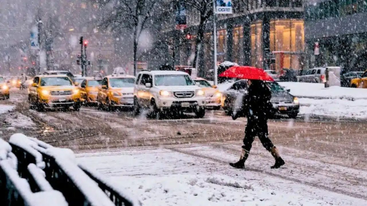
Snow is expected to remain north of the Gulf Coast, but wintry weather could reach the Appalachians of North Carolina and Tennessee, while the Southeast endures a more persistent chill.
What to Expect Going Forward
While daytime temperatures may rebound slightly after the front passes, overnight lows will remain cold, especially late this week into early next week.
For Florida residents, this system serves as a reminder that freezing weather is still very possible, even after a warm start to the year.
Are you preparing for a freeze where you live, or will temperatures stay just above freezing? Share what you’re expecting in your area in the comments below.