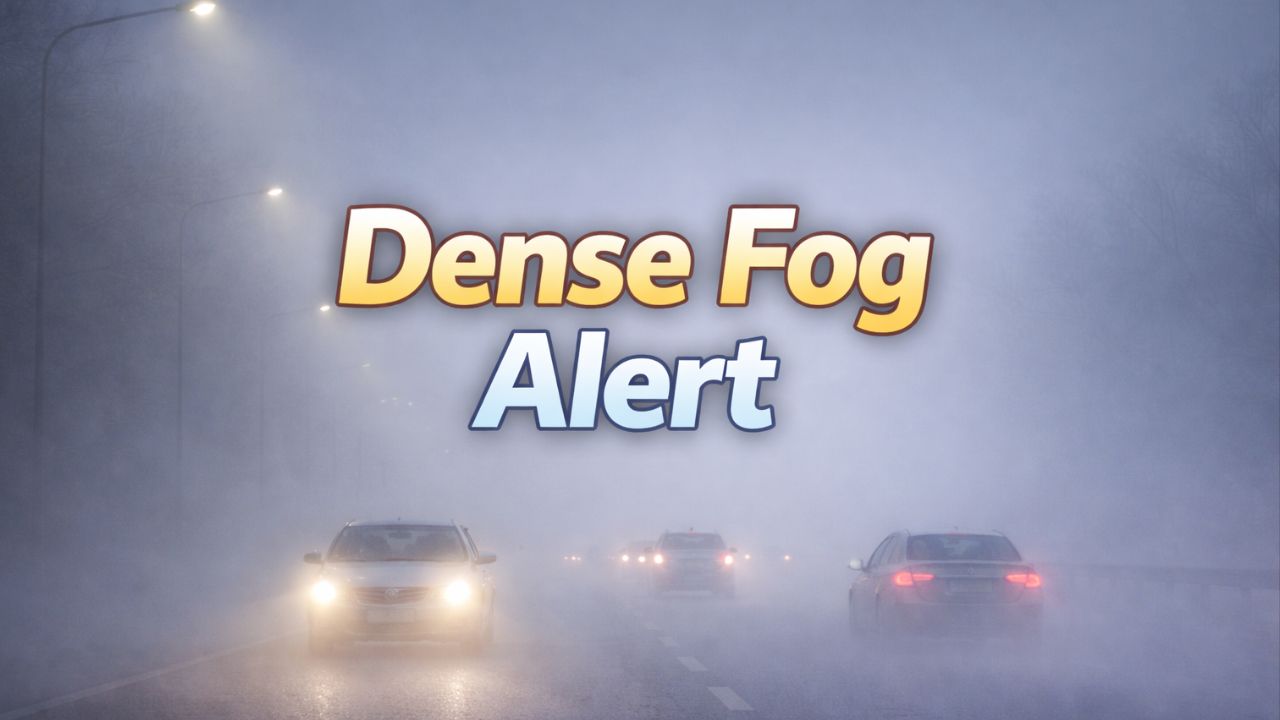
Minneapolis–St. Paul, Minnesota — A short-lived stretch of milder January weather across the Twin Cities is expected to end abruptly late Tuesday, as temperatures drop quickly and light precipitation raises concerns for icy roads, particularly near and east of Interstate 94.
Forecasters say the overall system will be relatively light, but the timing of falling temperatures could create hazardous travel conditions in parts of eastern Minnesota and western Wisconsin.
Mild Start Before Temperatures Plunge
Conditions across the Twin Cities will remain unseasonably mild through Monday and much of Tuesday, with temperatures staying above freezing during the daytime hours.
However, that warmth won’t last. By Tuesday night, a strong push of colder air is expected to sweep into the region, sending temperatures rapidly below freezing.
The biggest concern is not heavy precipitation, but how fast temperatures fall once rain is already on the ground, forecasters say.
Freezing Rain Risk Near I-94
Late Monday night into early Tuesday morning, light rain is expected north of Interstate 94. As colder air moves in, this rain could freeze on contact, particularly in parts of western Wisconsin.
Areas near Rice Lake and Ladysmith face the highest chance of freezing rain, depending on how quickly surface temperatures drop.
While the Twin Cities metro is expected to see mostly rain initially, conditions could change quickly if temperatures fall faster than forecast.
Roads Could Turn Slick Quickly
Even small changes in temperature could lead to icy conditions on major roadways, including:
- Interstate 94
- Interstate 35W
- Interstate 35E
- Highway 52
Bridges, overpasses, and untreated roads are especially vulnerable.
Any rain lingering on road surfaces Tuesday night may refreeze, creating a risk for black ice during the Wednesday morning commute.
Travel impacts are most likely east of the metro toward Wisconsin, but drivers across the Twin Cities should remain alert.
Snow Returns Later in the Week
After the rain and freezing rain threat passes, colder air will firmly settle into the region by Tuesday night.
Light snow is expected to develop Thursday into Friday, with modest accumulations anticipated. Forecasts suggest up to 4 inches of snow combined over both days, though totals may vary.
While snowfall amounts are not expected to be heavy, gusty winds and colder temperatures will make conditions feel more wintry by midweek.
Colder Pattern Locks In
By Wednesday, daytime highs will drop into the 20s, with overnight lows falling into the single digits and teens by late week.
The combination of cold air, wind, and leftover moisture could continue to produce slick spots even outside active precipitation periods.
Read Also: Soaking Rain and Rapid Snowmelt Put Alaska and Pacific Northwest on Flood Watch
What to Know Before Heading Out
Drivers are encouraged to:
- Slow down and increase following distance
- Use extra caution early Tuesday and Wednesday mornings
- Allow extra travel time, especially east of the Twin Cities
- Watch for black ice, even where roads appear wet rather than snowy
While this system is not expected to be a major winter storm, the rapid transition from rain to freezing temperatures means travel conditions could deteriorate quickly.
Forecast confidence continues to improve, and updates will be issued as forecasters refine the placement of freezing rain and the timing of midweek snow.
How are conditions looking where you are — rain, ice, or snow? Share your local observations in the comments below.