Philadelphia, Pennsylvania — A brief stretch of milder winter weather is settling into the Philadelphia region on Tuesday, offering a noticeable break from recent cold before a more unsettled pattern returns later this week, bringing rain, colder air, and the potential for a rain-to-snow transition.
Forecasters say Tuesday will likely be the most comfortable day of the week, while attention quickly shifts to a developing storm system expected to impact the region from late Wednesday into early Thursday.
Sunshine and Milder Air Take Hold Tuesday
Tuesday begins with mostly sunny skies across the region, gradually turning partly cloudy through the afternoon. Temperatures will rebound into the mid to upper 40s, with a few locations possibly touching 50 degrees under a light southwest breeze.
The milder conditions will feel welcome after recent cold mornings, and skies are expected to remain mostly clear into Tuesday night, allowing temperatures to drop back into the lower 30s overnight.
For many in the Philadelphia area, Tuesday may feel like a brief reset before winter reasserts itself.
Midweek Pattern Turns Unsettled
Changes begin to take shape by Wednesday, as a storm system approaches from the west. Clouds will increase through the day, and a chance for showers develops late Wednesday into Wednesday night.
Ahead of the system, temperatures will remain relatively mild, with highs reaching the low to mid-50s. That warmth supports rain at the onset, especially during the evening hours.
However, colder air is expected to work into the region late Wednesday night.
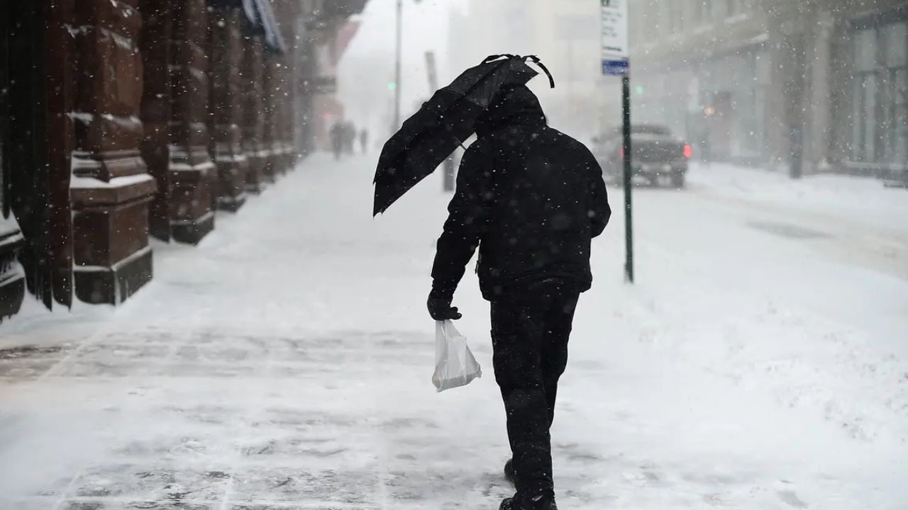
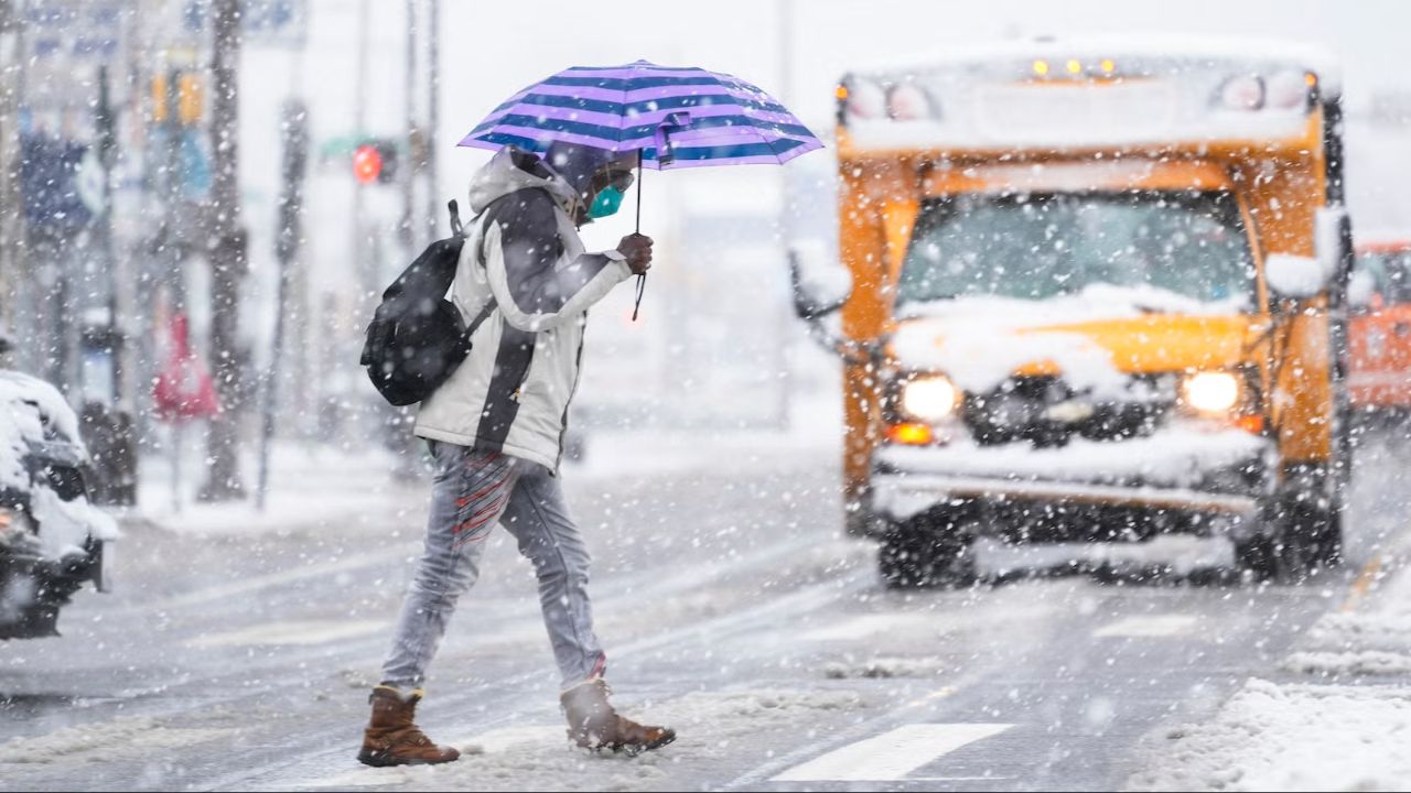
Rain Could Mix With or Change to Snow
As temperatures fall behind the approaching system, forecasters say rain may briefly mix with or change to snow, mainly late Wednesday night into early Thursday morning.
At this point, significant snow accumulation is not expected, particularly within the city and immediate suburbs. Still, if enough moisture lingers while temperatures drop, a brief wintry mix cannot be ruled out, especially in outlying or higher-elevation areas.
Read Also: Portland Forecast Turns Abnormally Mild as Sunshine Dominates the Week Ahead
Recent forecast trends suggest a drier outcome for Thursday, with precipitation tapering off relatively quickly as the system exits.
While this does not appear to be a major winter weather event, timing will be key, especially for early Thursday commuters.
Colder Air Returns Late Week
Behind the system, colder air settles back into the region on Friday, with highs dropping into the low 30s and overnight lows sinking into the low to mid-20s.
Friday is expected to be dry but noticeably colder, reinforcing a more typical January feel across the Mid-Atlantic.
Saturday brings a modest rebound, with highs near 40 degrees, though overnight lows remain cold.
Another Wintry Chance This Weekend
Looking ahead, forecasters are also watching the late part of the upcoming weekend, when another system could bring a chance of rain and snow on Sunday.
Details on that potential system remain uncertain, and confidence is still low on precipitation type and impacts. Residents are encouraged to monitor updates as forecast clarity improves.
Seven-Day Snapshot
- Tuesday: Milder and partly sunny. High near 49, low 30
- Wednesday: Chance of showers late. High 53, low 40
- Thursday: Rain or snow showers possible early. High 42, low 35
- Friday: Colder and dry. High 33, low 23
- Saturday: Seasonable. High 41, low 24
- Sunday: Chance of rain and snow. High 34, low 25
- Monday: Cold. High 32, low 21
What to Watch Going Forward
Residents should keep an eye on:
- Late Wednesday night into early Thursday for any rain-to-snow transition
- Refreezing concerns if roads remain wet as temperatures fall
- Another potential wintry system late this weekend
While Tuesday offers a pleasant pause, winter weather remains very much in play for the Philadelphia region.
Do you think we’ll see our next real snow soon, or will rain keep winning out? Share your thoughts — and what you’re seeing where you live — in the comments below.