New York City, NY— Temperatures across New York City have remained below the freezing mark since Friday, and forecasters say the city could stay locked in the deep freeze through early next week. If highs fail to reach 32 degrees by Monday, the city would record 12 straight days below freezing, the longest such stretch since 2003.
This prolonged cold snap is unusual even by midwinter standards and is being driven by a stubborn Arctic pattern that has settled over much of the Northeast.
Why the polar vortex is driving this cold spell
Meteorologists point to a stratospheric polar vortex as the primary driver behind the extended cold. Normally confined near the poles, this large mass of frigid air has shifted in a way that allows repeated surges of Arctic air to spill southward into the eastern United States.
“A strong ridge of high pressure over Alaska and the western U.S. is effectively draining cold air straight from the Arctic into our region,” forecasters explained.
Because this pattern keeps reinforcing itself, cold air is not being replaced by milder systems, allowing sub-freezing temperatures to persist for days at a time.
How cold it will stay across the city
Forecasts call for daytime highs stuck in the 20s through at least Sunday, with overnight lows dropping into the teens and, on some nights, the single digits. Even during the warmest part of the day, temperatures are expected to struggle to approach freezing.
While a 12-day subfreezing streak would be significant, it would still fall short of the city’s all-time record. The longest run of below-freezing temperatures in Central Park was 16 consecutive days in 1961, according to the National Weather Service.
Snow chances linger after Winter Storm Fern
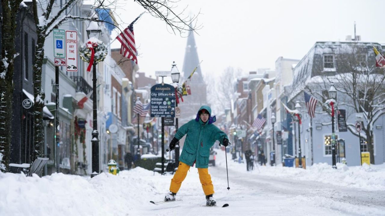
The cold follows Winter Storm Fern, which brought more than a foot of snow to parts of the city earlier this week. With Arctic air firmly in place, forecasters say additional snow remains possible.
Light flurries could develop Saturday evening into Sunday, and there is currently a 20–40% chance of 3 inches or more of snow if a low-pressure system tracking offshore moves close enough to the coast. Snow chances increase farther east, particularly across Long Island.
Read Also: Massachusetts Braces for Possible Nor’easter This Weekend as Powerful Storm Takes Shape
Coastal impacts possible with upcoming system
The potential weekend system coincides with a full moon on February 1, which could enhance tidal effects. Even if snowfall remains limited near the coastline, forecasters warn of coastal erosion and minor flooding, depending on wind direction and wave energy.
“There’s a risk of coastal impacts even if snow amounts are modest along the shore,” meteorologists said.
What residents should prepare for
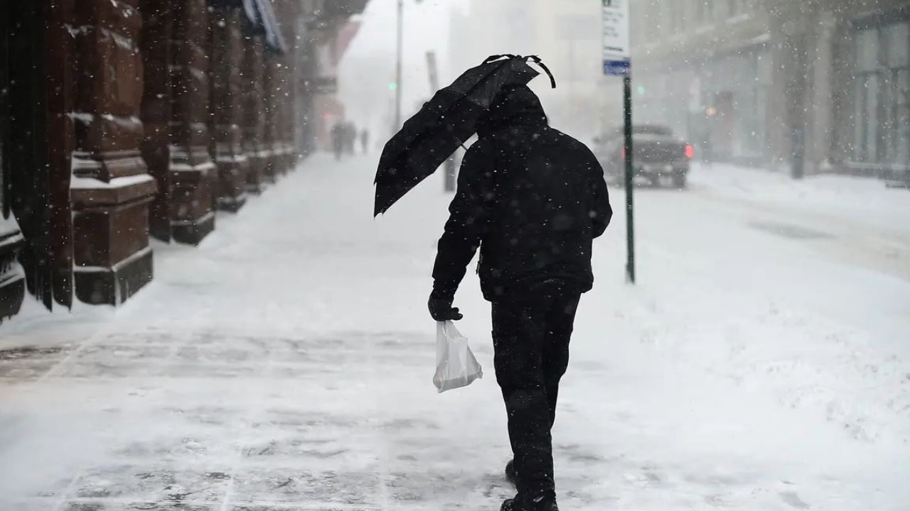
With temperatures staying below freezing for an extended period, snow and ice will melt very slowly, keeping sidewalks and side streets slick. Officials urge residents to bundle up, limit prolonged outdoor exposure, and check on vulnerable neighbors, especially seniors and those without consistent heat.
For now, forecasters say the outlook remains clear: winter’s grip on the city isn’t loosening yet, and New Yorkers should be ready for several more days of stubborn, record-challenging cold.
Do you think this cold stretch will break sooner than expected, or could it rival some of the harshest winters in recent memory? Share your thoughts in the comments.