Kansas City, Missouri — After recording the coldest temperature of the season so far, the Kansas City area is heading into a week marked by dramatic temperature swings, brief springlike warmth, and a return to winter cold with snow chances later in the week. Forecasters say residents should be prepared to adjust plans — and wardrobes — almost daily.
Weather patterns this week place the region between bitter Arctic air to the northeast and milder air to the southwest, making the forecast especially sensitive to small shifts. Officials urge residents to stay alert for updates as conditions evolve.
A Cold Start Sets the Stage
The week begins on the heels of a deep freeze, with temperatures bottoming out near 18 degrees, the coldest reading of the season. That cold air will loosen its grip just enough to allow a short-lived warm-up, but winter is far from finished.
“This is a tricky forecast setup,” forecasters noted, emphasizing that even minor changes could alter precipitation type and temperature outcomes.
Monday and Tuesday Bring a Brief Warm-Up
The most noticeable break from the cold arrives Monday and Tuesday, offering a rare taste of mild weather for mid-January.
On Monday, skies will be mostly sunny with a few passing clouds, allowing temperatures to rebound sharply into the mid-50s. Morning lows will fall into the upper 20s, with patchy frost possible and areas of fog across northern Missouri early in the day.
Tuesday pushes the warmth even further.
Highs are expected to approach 60 degrees, making it feel more like early spring than winter. Morning temperatures will start near the upper 30s, close to the region’s average daytime high for this time of year. Increasing cloud cover throughout the day will signal the next shift.
Light Rain Possible Tuesday Night
As clouds thicken Tuesday evening, a weak system may bring a 30% chance of light rain into Tuesday night.
Rainfall amounts are expected to stay below one-tenth of an inch, with no flooding or travel concerns anticipated. While impacts should be minimal, the rain will mark the transition away from the brief warm spell.
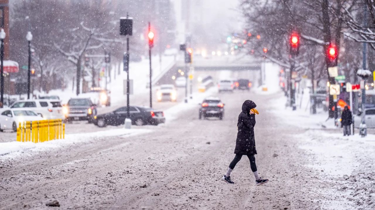
Midweek Brings a Return to Seasonal Cold
By Wednesday and Thursday, temperatures begin trending back toward seasonal norms.
Thursday looks to be the most typical January day of the week, with:
- Morning lows in the upper teens
- Afternoon highs near 40 degrees
- Increasing clouds as another system approaches
While not extreme, the colder air will be noticeable after the warmth earlier in the week.
Coldest Air Returns Friday and Saturday
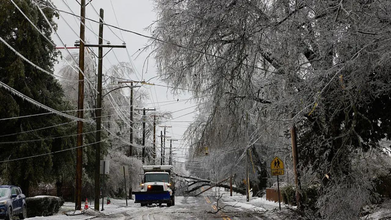
The most impactful weather arrives Friday and Saturday, when the coldest air of the season so far is expected to settle across the region.
Read Also: Maryland Sees Clearing Skies and Milder Start Before Colder, Wintry Shift Later This Week
Forecast highlights include:
- Friday: Highs ranging from the upper 20s to low 40s
- Saturday: Morning lows in the upper teens, highs struggling into the low 30s
- Blustery winds both days, making it feel significantly colder
Snow showers are also possible, with about a 30% chance, especially on Saturday.
Accumulation is uncertain, but even light snow combined with strong winds could reduce visibility and create slick spots.
What Residents Should Keep in Mind
As Kansas City navigates this weather roller coaster, forecasters recommend:
- Dressing in layers Monday and Tuesday as temperatures rise quickly
- Keeping winter gear ready from Wednesday through the weekend
- Watching for light rain Tuesday night
- Monitoring snow chances Friday and Saturday
- Preparing for wind chills during the coldest stretch
While the warm-up may be tempting, it will be short-lived. Winter conditions are expected to dominate again by the end of the week.
Do you prefer the brief taste of spring or the return to winter weather? Share how you’re preparing for the temperature swings in the comments below.