
Dallas–Fort Worth, TX — Drivers across North Texas faced dangerous travel conditions early Wednesday as black ice and freezing fog lingered on roads, bridges, and overpasses. While conditions improved later in the day thanks to sunshine and rising temperatures, officials warn that refreezing and fog-related hazards could return overnight and into Thursday morning.
By late Wednesday morning, temperatures climbed above freezing, allowing ice to melt efficiently across much of the region. Roads that were slick and treacherous at sunrise appeared more slushy than icy by the afternoon, easing—but not eliminating—travel risks.
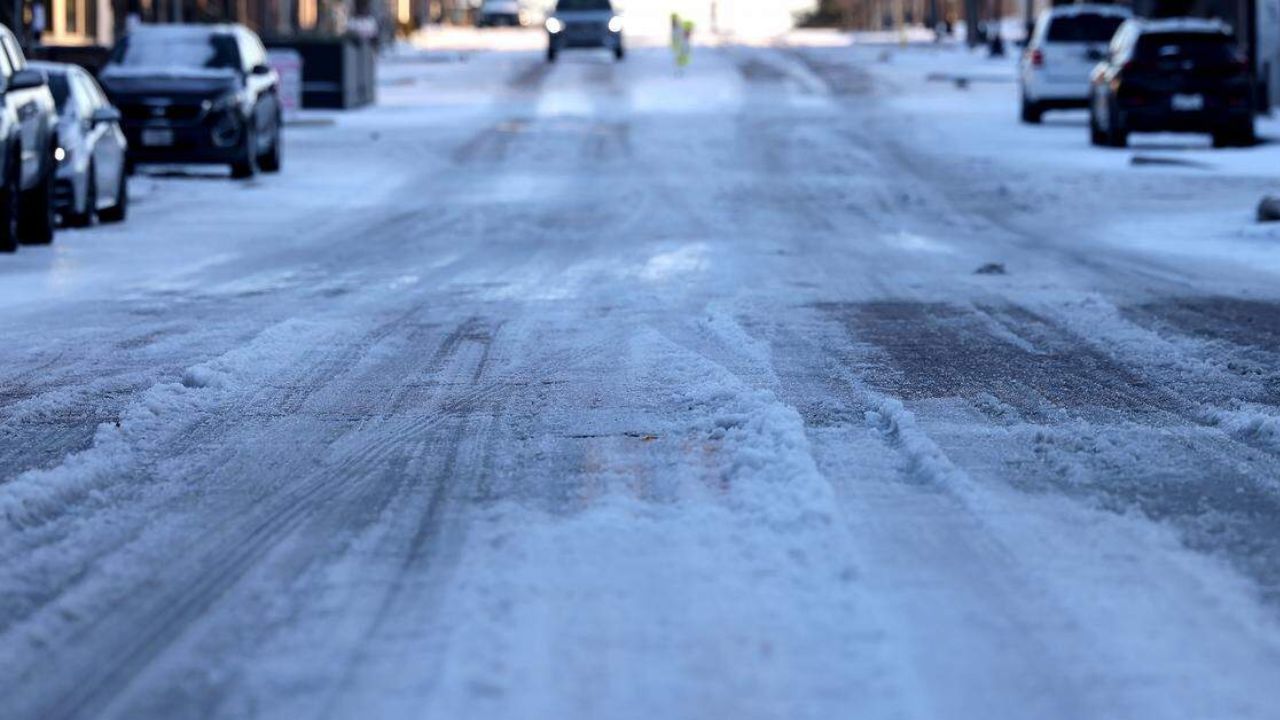
Morning sunshine helps melt ice
The combination of above-freezing temperatures and abundant sunshine played a key role in improving road conditions on Wednesday. Transportation officials noted that major roadways showed visible improvement, though lingering moisture remained on surfaces.
“The melting process has been efficient, but drivers should not assume all roads are clear,” forecasters cautioned.
Shaded areas, especially those that received little direct sunlight, remained problematic in some spots.
Refreezing possible overnight
As the sun sets Wednesday evening, temperatures are expected to fall back into the 30s, eventually dipping to near or below freezing by early Thursday morning.
The good news, meteorologists say, is that temperatures should only remain at or below freezing for a few hours. Even so, refreezing of slush is possible, particularly on untreated roads.
“Conditions are not expected to be as bad as Wednesday morning, but black ice will still be possible,” officials warned.
Bridges, overpasses, and shaded roadways are expected to be the most vulnerable locations during the early morning commute.
Freezing fog adds another hazard
In addition to refreezing, forecasters say patchy fog may develop Thursday morning, especially along and east of Interstate 35.
If temperatures reach freezing while fog is present, freezing fog could form, leading to a thin glaze of ice on windshields, road signs, and other exposed surfaces.
“Freezing fog can quickly create icy surfaces even when roads appear mostly wet,” meteorologists said.
Drivers are urged to allow extra time, use low-beam headlights in fog, and be prepared for sudden changes in visibility.
Read Also: Arctic Cold Returns to Shreveport Area With Single-Digit Wind Chills Expected Near I-20
Quick warmup expected Thursday
Any lingering ice concerns should be short-lived. Temperatures are forecast to rebound quickly on Thursday, with highs reaching the upper 50s across much of North Texas.
This warming trend will allow additional melting, further improving road conditions by midday.
However, a dry cold front is expected to move through Thursday evening, bringing a noticeable temperature drop and a wind shift.
Gusty winds and cooler weekend ahead
Behind the front, north winds could gust up to 20 mph, persisting through Friday night. While the front will remain dry, it sets the stage for much colder air this weekend.
A First Alert Weather Day has been issued for Saturday morning, when temperatures are expected to plunge into the teens.
“Wind chills could range from -5 to 9 degrees early Saturday,” forecasters said.
Saturday is expected to be the coldest day of the stretch, with afternoon highs only reaching the 30s.
Warming trend returns Sunday
After the bitter cold start Saturday, temperatures will begin to moderate on Sunday and continue to warm into next week.
Another front is expected to arrive Tuesday into Wednesday, bringing increased rain chances. At this time, no additional winter weather is expected with that system.
Drivers urged to remain cautious
While conditions across North Texas are improving overall, officials stress that winter hazards have not completely ended, especially during overnight and early morning hours.
“Black ice can be nearly invisible, and it only takes one slick spot to cause a serious accident.”
Drivers are encouraged to slow down, increase following distance, and remain alert through Thursday morning, particularly on bridges, overpasses, and shaded roadways.
Have you noticed icy or foggy conditions where you live, or did roads improve quickly in your area? Share what you’re seeing and how travel looks near you in the comments below.


