
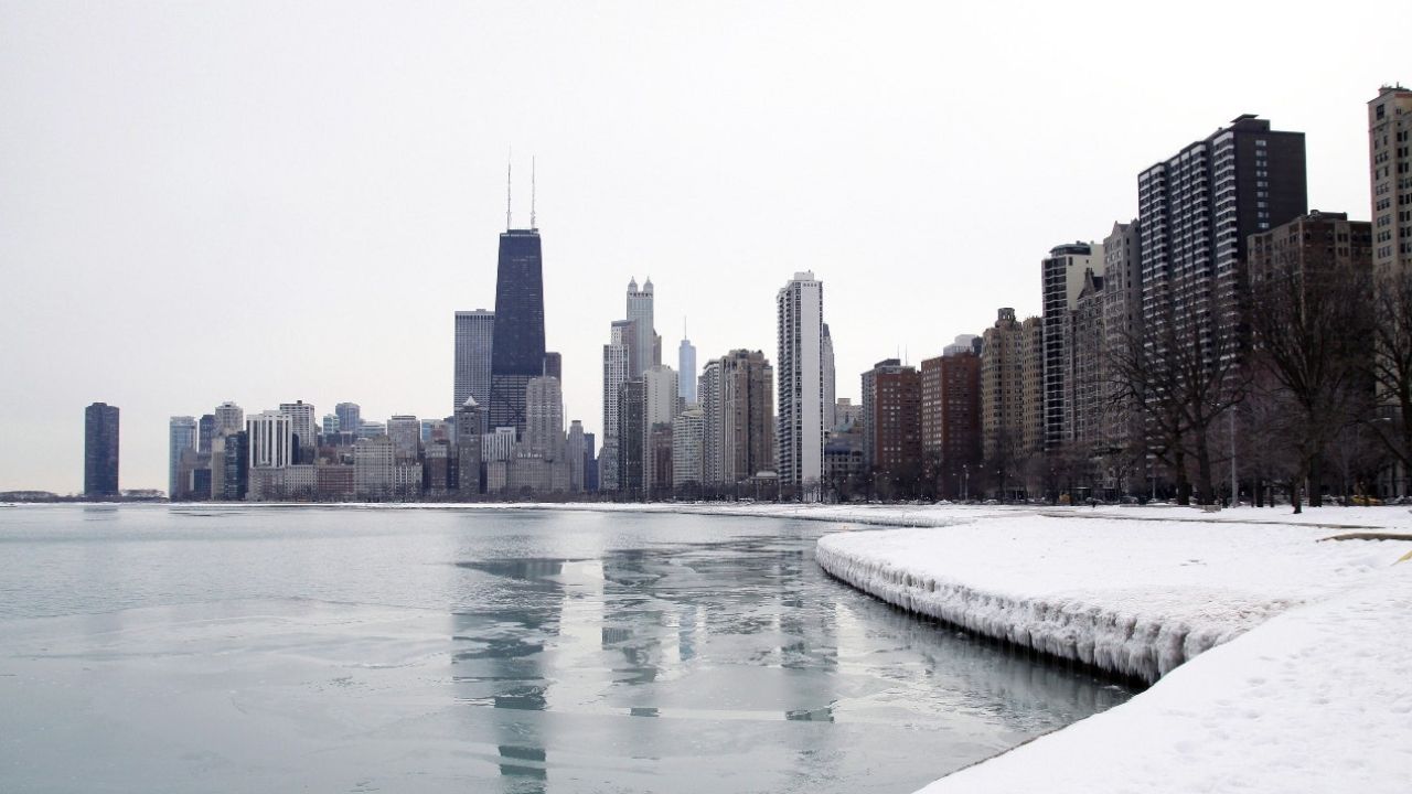
Chicago, Illinois — Winter continues to tighten its grip on the Chicago area as sub-zero wind chills refuse to let go and forecasters warn that lake-effect snow is poised to return later this week, potentially impacting both northeast Illinois and northwest Indiana.
After another brutally cold start to the week, temperatures remain locked well below normal, with only brief daytime relief before the next round of winter weather arrives.
Frigid air keeps wind chills dangerous
Tuesday brought highs stuck in the teens, but it was the wind that made conditions especially harsh. Even during daylight hours, wind chills hovered near zero, creating uncomfortable — and at times dangerous — exposure for anyone spending time outdoors.
Overnight conditions remain unforgiving.
“With mostly clear skies turning partly cloudy overnight, temperatures will dip near zero, and wind chills will range from -5° to -15° across much of the region.”
Forecasters caution that exposed skin can be at risk during prolonged outdoor activity, particularly during early morning and late-night hours.
Midweek offers limited improvement
Sunshine returns Wednesday, but warmth does not. Afternoon highs are expected to climb only into the mid-to-upper teens, offering little relief from the cold air mass settled over the region.
Thursday mirrors Wednesday closely, with partly cloudy skies and highs again in the mid-teens. While skies may appear calm, the persistent cold means any moisture on roads or sidewalks can quickly refreeze, especially overnight.
Despite the dry conditions early in the week, winter is far from finished.
Lake-effect snow likely late Thursday into Saturday
Attention now turns to Lake Michigan, where conditions are lining up for another round of lake-effect snow beginning late Thursday night.
Read Also: Massachusetts Braces for Possible Nor’easter This Weekend as Powerful Storm Takes Shape
Lake-effect events are notoriously difficult to pinpoint days in advance, but current trends suggest a familiar setup.
Forecasters say the most likely scenario brings lake-effect snow into northeast Illinois Friday morning and afternoon, before shifting east into northwest Indiana by Friday evening and overnight.
Snowfall totals remain uncertain, as lake-effect bands can be narrow and intense — or miss some areas entirely. Residents closest to the lake should be prepared for rapidly changing visibility and slick roads, particularly during peak commute times.
Weekend outlook: Gradual easing, but still cold
Lake-effect snow should gradually weaken on Saturday as wind patterns shift and skies turn partly sunny across much of Chicagoland. Even so, winter temperatures remain firmly in place.
- Saturday highs: Lower 20s
- Sunday highs: Mid-20s
While this represents a slight moderation compared to earlier in the week, it is still well below seasonal averages.
Snow on the ground will linger, and overnight refreezing remains a concern through the weekend.
Another system to watch Sunday night
As if lake-effect snow weren’t enough, meteorologists are also monitoring a fast-moving clipper system that could slide through the region late Sunday night into early Monday.
While significant accumulation is not expected at this time, light snow could impact early Monday commutes, especially if timing coincides with colder overnight temperatures.
“Even light snow combined with cold pavement can quickly lead to slick travel conditions.”
What residents should prepare for
With multiple winter hazards lining up, residents across Chicago and surrounding suburbs are urged to remain weather-aware:
- Dress in layers and limit exposure during extreme wind chills
- Use caution near Lake Michigan, where sudden snow bands may reduce visibility
- Allow extra travel time during morning and evening commutes
- Watch for refreezing, especially on bridges and overpasses
Although no major winter storm is imminent, the combination of cold, wind, and periodic snow keeps conditions challenging.
Bottom line
Chicago remains locked in a deep winter pattern, with dangerous wind chills, renewed lake-effect snow, and another system possible by early next week. While the worst of the cold may slowly ease by the weekend, winter hazards are far from over.
Have you already noticed lake-effect flurries near the lake — or are wind chills the bigger issue where you are? Share what conditions are like in your area in the comments.


