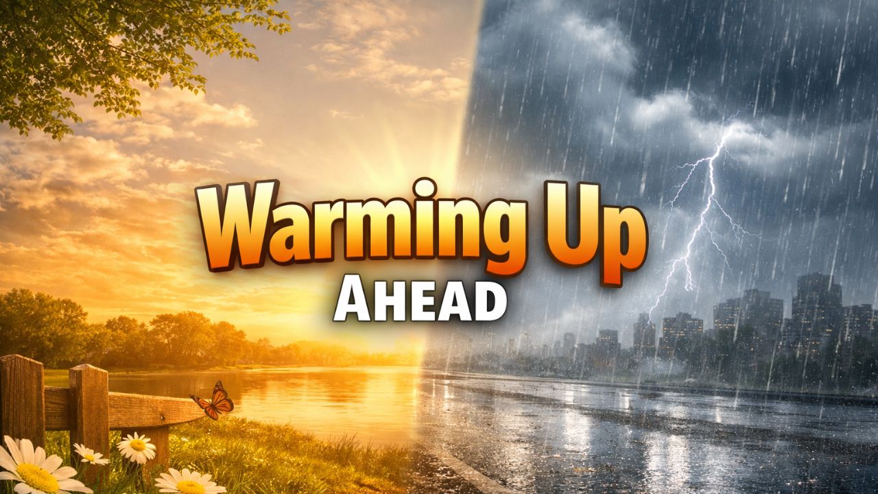
New York City — A sharp weather shift is set to arrive in the New York City area as a cold front pushes through on Thursday, ending a brief stretch of relatively mild conditions and replacing it with bone-chilling temperatures and a chance of a light wintry mix.
While snowfall is not expected to accumulate, the cold itself will be the bigger story as the city heads toward what could become the coldest night of the season so far.
Forecasters say residents should prepare for a noticeable change in how the air feels, especially once winds increase and temperatures fall rapidly Thursday night.
Mild Start Gives Way to Colder Air
Wednesday night will begin on a relatively mild note for midwinter standards. Temperatures are expected to hover near 39 degrees, with mostly cloudy skies and the possibility of a few brief drizzles as moisture moves through the region.
That mild feel will not last long.
As the cold front advances, rain showers will taper off and colder air will begin filtering into the city. By Thursday morning, conditions will start to shift, setting the stage for a much colder end to the day.
“As we head into tomorrow, that rain moves away, we get a mix of clouds and sun, it’ll be breezy, it’ll be cooler out than it was today, and we could see a rain or snow shower,” a meteorologist said.
Wintry Mix Possible, But Accumulation Unlikely
During the day Thursday, temperatures are expected to remain above freezing, peaking near 42 degrees. That means any precipitation that develops will likely fall as a brief rain or snow shower, with no meaningful accumulation expected.
Forecasters stress that while a few flakes may mix in at times, this system is not expected to bring measurable snowfall to the city. Streets and sidewalks should remain largely unaffected, though damp conditions could linger in spots.
The lack of accumulation does not mean conditions will be comfortable, however. Increasing winds will add a chill to the air, making it feel colder than the thermometer suggests.
Thursday Night Brings the Coldest Air Yet
The most significant change arrives Thursday night.
Once skies partially clear and colder air fully settles in, temperatures are expected to drop well below freezing, with lows falling to around 24 degrees. Forecasters say this could mark the coldest night New York City has seen so far this season.
“Things get a lot colder,” forecasters said. “Lows get down to around 24 degrees, pretty much the coldest night of the season so far.”
The combination of cold air and lingering breezes will make it feel even colder overnight, particularly in exposed areas and along the waterfront.
Friday Stays Cold but Brighter
Friday will bring a return of sunshine, but the brighter skies will do little to warm things up.
Read Also: Colder Days Ahead for St. Louis as Arctic Air Replaces Unseasonable Warmth
High temperatures are forecast to reach only around 35 degrees, keeping conditions firmly in winter territory. Winds are expected to be lighter than Thursday night, but the air will still feel crisp and cold throughout the day.
“It’s just a cold day on Friday with some sunshine and a high of around 35,” forecasters said. “Not a lot of winter precipitation, but temperatures will be on the cold side.”
For commuters and anyone spending extended time outdoors, proper winter clothing will be essential.
What This Means for Daily Life
While this system is not expected to produce snow accumulation, the rapid temperature drop could still have impacts:
- Cold-sensitive individuals may feel the effects more strongly Thursday night and Friday
- Overnight lows below freezing could affect exposed pipes in poorly insulated buildings
- Outdoor pets and vulnerable populations will need protection from the cold
- Morning routines may feel harsher as winter conditions reassert themselves
Drivers should also remain cautious, as lingering moisture from earlier rain could freeze in isolated spots late Thursday night.
Looking Ahead Beyond Friday
Forecasters say the colder pattern may stick around into the weekend, though no major winter storms are currently highlighted for the immediate future. Even without snow, below-average temperatures will keep the city feeling firmly locked in winter.
Residents are encouraged to enjoy the sunshine when it appears, but not to underestimate how cold conditions will feel, especially during early mornings and nighttime hours.
As New York City adjusts to this colder stretch, the message from forecasters is clear: winter is far from over, and even minor systems can bring noticeable changes when temperatures drop quickly.
Do you think this cold snap is a sign of a harsher winter ahead, or just a temporary dip before another warm-up? Share your thoughts in the comments.