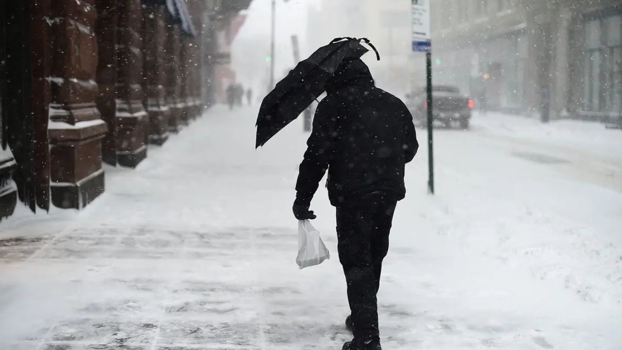
Denver, Colorado — A significant wind event is taking shape across the Denver metro area and northeastern Colorado, prompting forecasters to issue a High Wind Watch ahead of potentially damaging conditions late Thursday night into Friday.
Officials warn that powerful winds, very dry air, and falling temperatures behind a cold front could combine to create hazardous travel, elevated fire danger, and scattered power outages.
Meteorologists say residents should not underestimate this setup, as wind speeds could strengthen quickly and affect large portions of the region through Friday afternoon.
High Wind Watch Signals Potentially Dangerous Conditions
According to the National Weather Service Denver/Boulder, northwest winds are expected to ramp up late Thursday night and persist through much of Friday.
Forecast guidance points to:
- Sustained winds of 35 to 45 mph
- Wind gusts reaching up to 65 mph
- Strongest impacts across open plains and exposed areas northeast of Denver
While the watch does not guarantee these conditions will occur everywhere, it indicates a high likelihood of impactful winds if the forecast verifies.
“Winds of this magnitude can cause property damage, make travel hazardous, and significantly elevate fire danger,” forecasters cautioned.
Fire Weather Concerns Grow as Winds Increase
One of the most serious concerns tied to this event is fire weather. Strong winds combined with very low humidity levels can cause any new fire to spread rapidly, especially in grassland and open terrain areas.
Forecasters expect elevated to critical fire danger from late Thursday morning through early Friday evening.
Key risk factors include:
- Dry fuels across northeastern Colorado
- Very low humidity
- Sustained, gusty winds capable of rapid fire spread
Officials are urging residents to avoid outdoor burning, delay activities that could spark flames, and use extreme caution with machinery or equipment that could generate heat or sparks.
“This is not a good time for any activity that could ignite a fire,” officials warned.
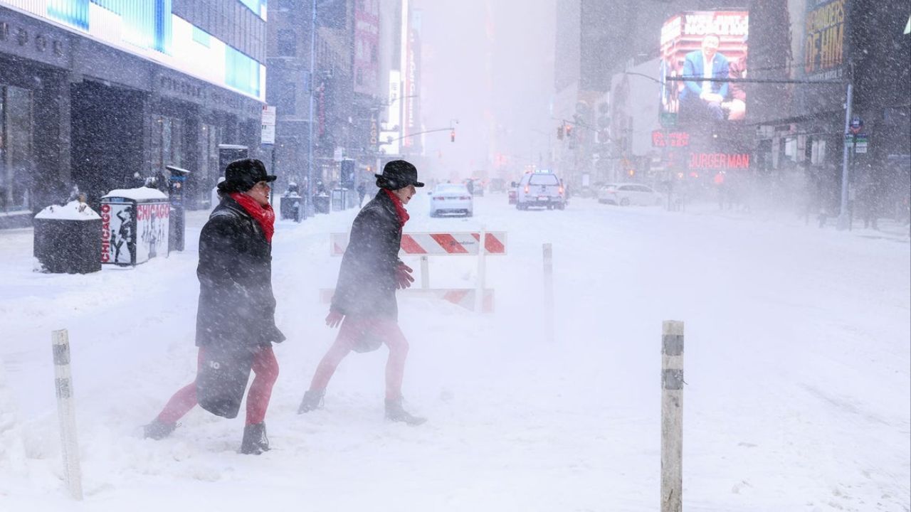
Travel Could Become Difficult, Especially for High-Profile Vehicles
Strong crosswinds are expected to make travel challenging, particularly on east–west routes where vehicles are more exposed.
Roadways of concern include:
- Interstate 76
- Interstate 70 east of Denver
- Rural highways across the northeastern plains
High-profile vehicles such as trucks, trailers, and RVs may struggle to maintain control during peak wind periods.
Blowing debris and sudden gusts could also create dangerous driving conditions for smaller vehicles, especially in open or elevated areas.
Power Outages and Property Hazards Possible
The anticipated wind speeds raise the risk of scattered power outages, as tree limbs and power lines are stressed by prolonged gusts.
Residents should also be prepared for:
- Unsecured outdoor items becoming airborne
- Trash bins, patio furniture, and construction materials being blown around
- Potential damage to fencing or lightweight structures
Officials recommend securing loose items ahead of time to reduce the risk of damage or injury.
Cold Front Adds to the Impact Friday
Although no precipitation is expected with this system, a cold front moving through on Friday will bring a noticeable temperature drop.
- Thursday: Milder conditions ahead of the front
- Friday: Cooler air settling in behind the front
While cooler temperatures can eventually help limit fire behavior, forecasters stress that the strongest winds arrive before meaningful relief, keeping risks elevated through much of Friday.
Timing and What to Expect
The current forecast suggests:
- Late Thursday night: Winds begin increasing
- Friday morning through afternoon: Peak wind impacts
- Friday evening: Gradual improvement possible as winds ease
The High Wind Watch remains in effect through Friday afternoon and could be upgraded to a warning if confidence increases.
“Conditions may deteriorate quickly,” forecasters noted, emphasizing the importance of early preparation.
How Residents Can Prepare Now
Officials urge people across the Denver area and northeastern Colorado to take simple but important steps ahead of the wind event:
- Secure loose outdoor items
- Avoid fire-starting activities
- Plan for possible travel delays
- Prepare for brief power outages
- Use caution if driving, especially in open areas
Even areas not under the highest threat could experience strong gusts capable of causing localized issues.
Looking Ahead
Additional updates are expected as forecasters refine the timing and strength of the winds. Residents are encouraged to monitor local forecasts and alerts through Thursday and Friday.
For now, the message is clear: a high-impact wind event is possible, and preparation could make a significant difference.
How strong are the winds where you live, and are you preparing for possible outages or travel issues? Share your thoughts in the comments below.