St. Louis — After several weeks of unusually mild conditions, the weather pattern across eastern Missouri is undergoing a clear and decisive shift. Colder air is now moving into the St. Louis region, replacing above-average temperatures and signaling the start of a more persistent mid-winter setup that could last well into next week and beyond.
Forecasters say the recent stretch of warmth — which brought repeated days of 50s and even 60s — is ending as Arctic air masses begin dropping south out of Canada, reinforcing colder conditions across the Midwest.
Warm Pattern Breaks Across Eastern Missouri
The shift marks a notable change from what residents have experienced for much of the month. Instead of brief cold snaps followed by rebounds, the developing pattern favors limited warmups and repeated pushes of cold air.
According to the National Weather Service in St. Louis, the region is entering a phase where temperatures will trend closer to — and at times below — seasonal norms.
“This is not expected to be a quick hit of cold,” forecasters noted, adding that the pattern supports ongoing cold air intrusions rather than a short-lived chill.
Temperatures Trend Downward, Especially at Night
Daytime highs that were recently well above normal are now forecast to struggle to reach the 40s on multiple days, with some afternoons feeling notably colder depending on cloud cover and wind direction.
Overnight temperatures will follow suit. As skies clear and colder air settles in, lows are expected to dip into the 20s and low 30s, especially during nights when winds relax and radiational cooling becomes more efficient.
Key temperature trends include:
- Highs falling back to near seasonal levels
- Colder mornings becoming more common
- Less dramatic daytime warming than earlier this month
These changes may not feel extreme compared to historic cold outbreaks, but they represent a clear end to the prolonged mild stretch.
Why This Cold May Stick Around
Meteorologists point to the large-scale pattern across North America as the reason this shift appears more durable. With the jet stream dipping south more frequently, colder air from Canada has a clearer path into the central United States.
“Repeated Arctic air intrusions will limit warmups,” forecasters said, emphasizing that this setup supports reinforcing cold rather than one-and-done fronts.
Because of this, even brief moderation between cold pushes may be short-lived, keeping overall temperatures suppressed.
No Immediate Snow, But Winter Risks Increase
At this time, no major precipitation systems are highlighted for the St. Louis area. However, the colder baseline temperature raises the stakes for any future disturbances.
Once temperatures remain consistently below normal, even weak systems can create winter impacts, including:
- Light snow
- Freezing drizzle
- Slick roads during morning commutes
Forecasters stress that while snow is not currently the main concern, the colder pattern increases vulnerability to winter weather if moisture arrives.
Read Also: Icy Commute Possible in New Jersey as Light Snow and Frigid Air Arrive Overnight
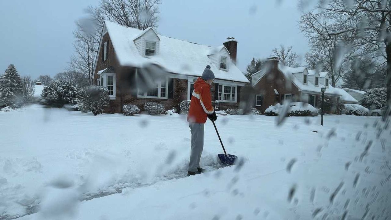
Daily Life Impacts Begin to Add Up
The return to colder conditions will be felt beyond the thermometer. Morning commutes, outdoor work, and early school routines will increasingly start in freezing or near-freezing temperatures.
Residents are encouraged to begin adjusting routines accordingly:
- Allow extra time for vehicle warm-ups
- Check home heating systems
- Protect exposed pipes during colder nights
- Bring pets indoors or provide adequate shelter
Vulnerable populations, including seniors and those without reliable heating, may also feel the effects more acutely as the cold persists.
Statewide Chill, Not Just a Local Shift
While St. Louis sits at the center of this change, forecasters note that colder air will impact much of Missouri and the broader Midwest, reinforcing a regional winter pattern rather than an isolated event.
Clearer nights paired with cold air could bring sharper temperature drops in rural areas, while urban locations may see slightly moderated lows due to retained heat.
Looking Ahead: Winter Takes Control
Meteorologists caution that this pattern is still evolving, and forecast details may shift as additional Arctic air masses move south. However, confidence is growing that the warmth seen earlier this month will not return anytime soon.
“This looks more like a reset to winter than a brief interruption,” forecasters said.
Additional updates are expected as models refine the timing and intensity of upcoming cold shots and any potential precipitation.
For now, the message is simple: St. Louis is transitioning from an extended mild stretch into a sustained colder phase, and winter routines are once again becoming the norm.
Do you think this colder pattern will hold through the rest of the month, or is another warm-up still possible? Share your thoughts in the comments.