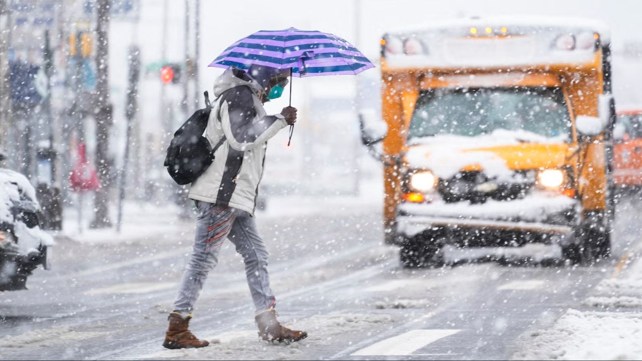
Richmond, Virginia — The Arctic air mass gripping Virginia will remain firmly in place through the weekend, as forecasters track a potential winter storm that could bring accumulating snow to southern and eastern parts of the state while keeping the Richmond area on the northern edge of impact.
Overnight temperatures will remain bitterly cold, with lows dropping into the upper single digits and mid-teens across central Virginia. Passing clouds are expected, but no significant precipitation is anticipated overnight.
Cold Friday With Limited Snow Chances
Friday will feature increasing cloud cover as the next system approaches from the south. A few flurries or light snow showers could develop late in the day, mainly well southwest of Richmond, where a minor accumulation may be possible.
High temperatures Friday will struggle to rise, topping out between 25 and 30 degrees, reinforcing the ongoing cold stretch.
Winter Storm Watch Issued for the Weekend
A Winter Storm Watch has been issued for central, southern, and eastern Virginia, as confidence grows that snow will spread northward late Friday night into Saturday.
Snow is expected to:
- Begin Friday night from the south
- Continue through Saturday morning
- Persist into Saturday afternoon and evening
However, forecast models have recently trended farther south, placing the Richmond metro area near the northern cutoff for meaningful snowfall.
“The advancing snow will be battling dry air from the north, which could significantly limit how far north the snow spreads,” forecasters said.
Snow Totals: Heaviest Near North Carolina Border
At this stage, the highest snow totals are expected closer to the North Carolina border and coastal Virginia.
Read Also: Coastal Snowstorm to Slam Carolinas, Likely Skips Most of Tri-State Region
Current projections suggest:
- Richmond: A coating to 2 inches
- South of Richmond: 2 to 4 inches
- Near the North Carolina border and Virginia Beach: 4 to 7 inches possible
Forecasters stress that changes are still likely, as the storm remains more than 24 hours away. A northward shift would increase snow totals, while continued southeastward trends could reduce accumulation farther north.
Extreme Cold Follows the Snow
Regardless of snowfall amounts, dangerous cold will follow behind the storm. An Extreme Cold Weather Watch is in effect Saturday night into Sunday morning.
Breezy conditions will push wind chills down to between 0 and -10 degrees, creating a heightened risk of frostbite for anyone exposed for extended periods.
Slow Improvement by Sunday, Cold Persists
Sunday will bring gradually decreasing clouds, with high temperatures near 30 degrees. While conditions will improve slightly, the cold pattern remains locked in.
Looking ahead to next week:
- Daytime highs: 30s to lower 40s
- Overnight lows: Teens to lower 20s
Even with a modest warmup, temperatures will remain below normal, and any snow or ice will be slow to melt.
Residents are encouraged to monitor forecast updates, finalize preparations ahead of the weekend, and limit travel if snowfall increases south and east of Richmond.
Do you think the storm will push farther north, or will Richmond stay on the edge again? Share what you’re seeing in your area in the comments below.