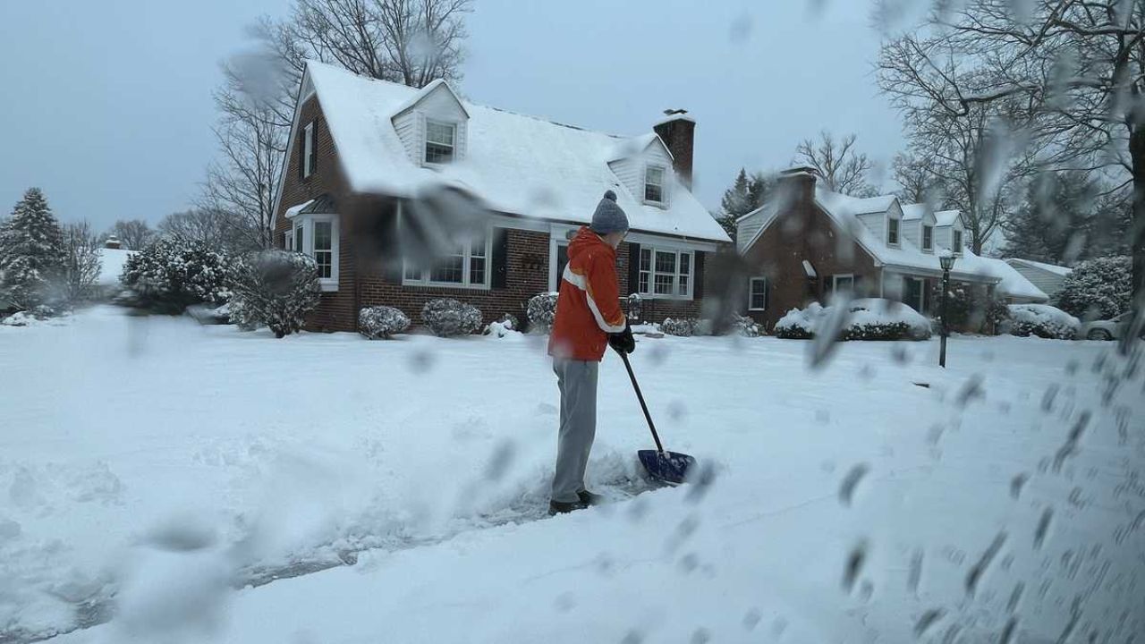
Trenton, New Jersey — New Jersey drivers are being urged to prepare for a potentially slick and hazardous Thursday morning commute as rain is expected to transition to light snow overnight, followed by a sharp drop in temperatures across much of the state. Forecasters say the combination of wet roads, falling temperatures, and gusty winds could allow ice to form before daybreak.
Meteorologists with the National Weather Service say conditions late Wednesday into early Thursday could closely resemble past icy events, even though snowfall totals are expected to remain minimal.
Rain Changes to Snow as Temperatures Drop
Weather officials say precipitation will begin as rain on Wednesday as a low-pressure system moves into the region. Temperatures are expected to start off relatively mild, climbing through the 40s during the day.
That pattern will not last long.
As a strong cold front sweeps through Wednesday evening, temperatures are forecast to fall rapidly — dropping from the 40s into the 30s, then into the 20s overnight across most of New Jersey. As colder air pushes in, rain is expected to change over to light snow before ending during the predawn hours Thursday.
“Icy roads are possible for the Thursday AM rush hour,” the weather service warned, citing rain changing to snow followed by temperatures falling into the 20s by dawn.
Why Even Light Snow Could Cause Problems
Forecasters stress that snow accumulation is expected to be very light, with only a coating possible in many areas. However, even a thin layer of snow or moisture can become dangerous once temperatures fall below freezing.
One key concern is road pretreatment effectiveness.
“The occurrence of rain before snow may reduce the effectiveness of or preclude pretreatment, increasing the odds of ice on the roads,” forecasters said.
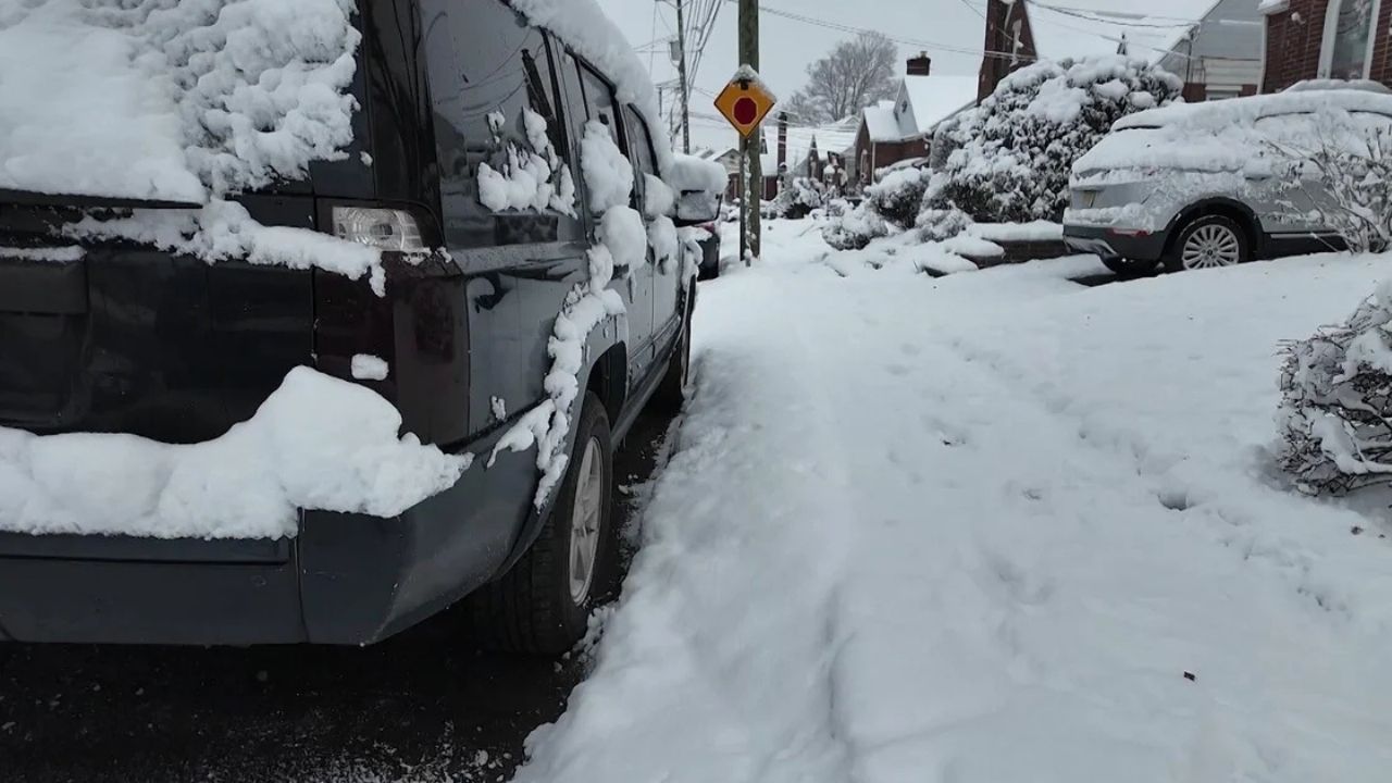
If roads remain wet as temperatures drop quickly, black ice could form, making conditions hazardous even where snowfall is barely visible.
Areas at Highest Risk for Icy Roads
While slick spots could develop almost anywhere in the Garden State, forecasters say the highest probability for icy conditions will be in areas north and west of Interstate 95.
These regions are more likely to experience:
- Earlier temperature drops
- Longer periods below freezing
- Light snow lingering into early Thursday
Bridges, overpasses, shaded roadways, and untreated secondary roads are expected to be the most vulnerable.
Wind and Cold Add to the Hazard
Behind the departing storm system, northwest winds are expected to increase, helping drive colder air deeper into the region. Gusty winds overnight will accelerate cooling, pushing temperatures into the 20s by dawn Thursday.
Forecasters note that this setup is similar to conditions seen around New Year’s Day, when icy roads caused widespread travel problems across the region.
“Rapid cooling behind the system is a key factor in ice development,” meteorologists said.
What to Expect on Thursday
Any light snow showers should end before sunrise, though patchy snow may linger in higher elevations during the day Thursday. Even after precipitation stops, icy spots may persist into the morning commute.
Daytime temperatures on Thursday are expected to remain cold, with limited melting possible.
Drivers should be especially cautious during:
- Early morning commutes
- School drop-off hours
- Travel on untreated or less-traveled roads
Brief Improvement Friday, But Cold Stays
Conditions are expected to improve somewhat on Friday as high pressure briefly builds into the region. Skies should be drier, and travel conditions may stabilize.
However, temperatures will remain cold, with highs stuck in the low 30s. Gusty southwest winds may develop, but they are not expected to bring significant warming.
Read Also: Florida Weather Alert: Sub-Freezing Temps Possible From Panhandle to Central Florida
More Wintry Chances This Weekend
Looking ahead, forecasters say a complex and unsettled weather pattern is expected to develop over the weekend. A disorganized series of frontal systems could bring additional chances for light snow or rain, especially as colder air continues to build into the region.
Saturday is expected to feature seasonable highs in the upper 30s to low 40s, with a slight chance of precipitation. By Sunday, highs are forecast to drop into the low 30s, with colder-than-average temperatures settling in for early next week.
By Tuesday, daytime highs may only reach the 20s, with wind chills potentially falling into the single digits by Monday night.
What Drivers Should Keep in Mind
Key takeaways for New Jersey residents include:
- Light snow late Wednesday night
- Rapid temperature drop into the 20s
- Increased risk of icy roads Thursday morning
- Colder-than-average weather continuing into next week
Drivers are encouraged to slow down, allow extra travel time, and stay alert for changing road conditions, especially during early morning hours.
Do you think this will be the most difficult commute of the week, or will conditions improve faster than expected? Share what you’re seeing on the roads in the comments below.