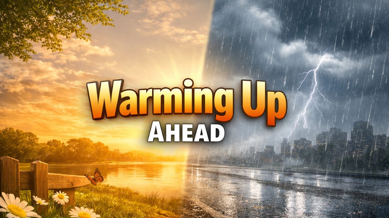
Baltimore, Maryland — After a cold start to the week, temperatures across Maryland are expected to trend noticeably warmer, offering a brief stretch of milder winter weather before a colder, stormier pattern possibly returns later this month.
Residents in and around Baltimore will still need winter coats early in the week, but forecasters say each passing day brings incremental warming, with near-60-degree highs possible by the weekend.
Chilly Monday night sets up cold Tuesday morning
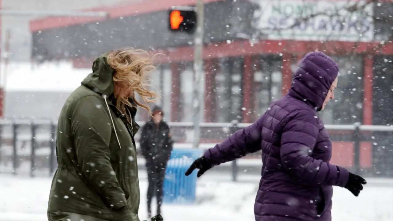
Monday evening remains cold but dry across much of the state, with a light breeze making it feel even chillier after sunset.
“You’ll still want a winter coat if you have evening plans,” forecasters noted.
The coldest temperatures of the short-term forecast arrive around sunrise Tuesday, when many neighborhoods dip into the upper 20s to low 30s. Areas of frost are likely before 8 a.m., particularly in sheltered and suburban locations.
Tuesday brings sunshine and a modest warm-up
Conditions improve quickly as Tuesday unfolds. Skies turn brighter during the afternoon, and temperatures climb into the mid to upper 40s, making it 5 to 10 degrees warmer than Monday afternoon.
The forecast stays dry through Tuesday, giving commuters and outdoor plans a break from rain or snow concerns.
Midweek warming trend continues across Maryland
The warming trend becomes more noticeable by Wednesday as temperatures push into the upper 40s and lower 50s across much of the region.
Cloud cover is expected to increase, and while a spotty rain shower can’t be ruled out, most areas are likely to stay dry through the middle of the workweek.
Forecasters say the warmer air is part of a broader pattern shift, temporarily easing winter’s grip across the state.
Late-week temperatures feel more like early spring
By Friday and Saturday, Maryland experiences the warmest stretch of the week. Afternoon highs are expected to reach the upper 50s to low 60s, well above seasonal averages for early January.
These milder temperatures may feel springlike, but they come with increasing cloud cover and a growing chance of rain.
Rain chances increase heading into the weekend
While Wednesday’s rain threat remains minimal, rain chances rise gradually late in the workweek.
- Scattered rain is expected Thursday and Friday
- The highest rain chances initially favor western Maryland and northern Virginia
- Rain becomes more widespread late Friday night into Saturday, expanding across the entire region
While the rain is welcome, forecasters caution it will not be enough to end the ongoing drought, even with several rounds of precipitation.
Cooler, breezier weather returns Sunday
As wet weather moves offshore late Saturday, cooler and breezier conditions return on Sunday. Temperatures are expected to drop back closer to seasonal norms, signaling that the warm-up will be short-lived.
Looking ahead, meteorologists are monitoring the potential for a colder and possibly wintry pattern during the week of the 12th, which could impact much of the Mid-Atlantic and East Coast.
What to expect overall
Cold start, midweek warm-up, late-week rain, then cooler air again — that’s the general trend for Maryland over the next several days.
Residents are encouraged to stay weather-aware, especially with frost early Tuesday, rain late in the week, and the potential for colder conditions returning soon after.
How does this warmer stretch compare to what you’re seeing in your area? Share your local weather experience in the comments below.