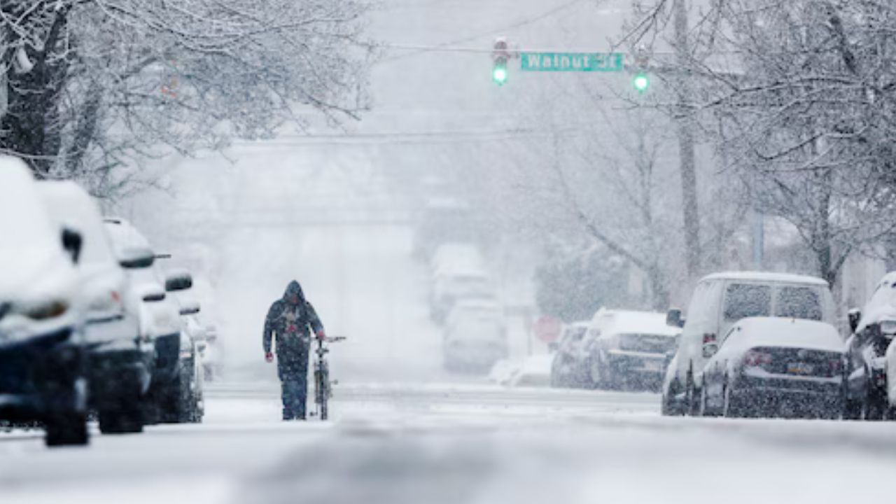
Atlanta, Georgia — A fast-moving winter system tied to an Arctic cold front is expected to bring light snow and slippery travel conditions across parts of the Southeast this weekend before strengthening offshore and grazing portions of the Northeast. While this is not expected to be a major snowstorm, forecasters warn that even minor snowfall could cause outsized travel issues, especially in regions less equipped for winter weather.
Snowflakes could fall as far south as Alabama and northern Florida, highlighting the unusually broad reach of this system.
Meteorologists stress that winter weather in the Southeast often leads to greater disruption than similar events farther north.
“Winter weather can have major travel impacts in the Southeast because the region has fewer plow trucks, salt supplies, and treatment resources than northern states,” forecasters noted.
Snow Threat Expands Across the Southeast
The storm is expected to develop late Saturday along the Gulf Coast before moving northeastward on Sunday.
Near the immediate Gulf Coast, temperatures are forecast to remain just warm enough late Saturday night to prevent snow from sticking to roadways. Rain or wet flakes may fall briefly, but significant accumulation is unlikely in coastal areas.
Farther northeast, however, colder air will be better established.
From southeastern Georgia through parts of South and North Carolina into southeastern Virginia, the strengthening system could produce several hours of steady snow on Sunday, leading to slick and potentially hazardous travel.
Read Also: Coldest Air in Nearly Four Years Sweeps Through South Florida, Gradual Warmup Ahead
Forecast guidance calls for:
- A coating to 1 inch of snow across much of southeastern Georgia and the Carolinas
- Isolated higher totals, with localized amounts potentially reaching up to 3 inches in a few communities
Road conditions may vary quickly, ranging from wet pavement to slushy or snow-covered surfaces, particularly during heavier bursts.
Ice Risk a Major Concern for Drivers
Forecasters say freezing temperatures following precipitation could be more problematic than snowfall totals alone.
“Even where roads look wet, temperatures dropping below freezing can turn those surfaces icy, creating dangerous driving conditions with little warning,” meteorologists warned.
Bridges and overpasses will be especially vulnerable, as cold air circulates above and below the roadway, allowing ice to form faster than on surrounding pavement.
Drivers across the Southeast are urged to:
- Slow down and increase following distance
- Use extra caution overnight and early Sunday morning
- Be alert for rapidly changing conditions
Limited Snow for Major Southern Cities
Not all areas will see snowfall.
Farther northwest, including Atlanta and Charlotte, drier air associated with the Arctic front is expected to limit or prevent snow development. These cities may see clouds and cold air, but little to no accumulation.
However, forecasters caution that snow could still develop a few dozen miles southeast of Interstate 85, particularly across interior portions of the Carolinas.
Storm Strengthens Near the Northeast Coast
As the system moves northward, it is expected to strengthen offshore, increasing the chance for light snow across parts of the Mid-Atlantic and southern New England.
The exact impact will depend on:
- The storm’s track
- Its speed
- How much moisture is drawn inland
Current projections suggest little to no accumulation in Philadelphia and New York City, though enough snow may fall to require aircraft deicing operations on Sunday.
Farther east, snowfall becomes more likely.
From eastern Maryland and southern Delaware through southern New Jersey, Long Island, and southeastern New England, a coating to a few inches of snow is possible.
Snow is expected to spread northward Sunday, reaching the southern New England coast later in the afternoon or evening.
New England Sees Highest Disruption Risk Sunday Night
The bulk of New England’s snowfall is expected to occur Sunday night, increasing the likelihood of:
- Airline delays
- Possible flight cancellations
- Slippery overnight road conditions
Though snowfall amounts are not expected to be extreme, timing could create travel headaches as the weekend winds down.
Clipper System Adds to Early Weekend Snow
This coastal storm will follow closely behind a clipper system moving out of the Midwest earlier in the weekend.
That system is expected to bring accumulating snow from the southern Appalachians in Tennessee and North Carolina into parts of Pennsylvania, New Jersey, New York, and New England.
Up to a few inches of snow are forecast in the Appalachian region, while a light, slippery coating could reach Philadelphia and New York City on Saturday, particularly in northern and western suburbs.
Bottom Line for the Weekend
This storm will not deliver widespread heavy snow, but light accumulations combined with freezing temperatures could still pose challenges across a large portion of the eastern U.S.
Key takeaways:
- Southeast states should prepare for minor snow with major travel impacts
- Coastal Northeast areas may see light snow and aviation delays
- Arctic air will ensure cold conditions linger even after snow ends
Residents are encouraged to monitor local forecasts closely, especially if traveling late Saturday or Sunday.
Will your area see snow, or will the cold be the bigger story this weekend? Share what you’re expecting where you live in the comments.