Springfield, Missouri — Southwest Missouri is bracing for a high-impact, two-round winter storm expected to bring significant snowfall and dangerous cold through the weekend, creating hazardous travel conditions and lingering disruptions into early next week. Forecasters warn that this will not be a quick-moving system, with impacts stacking over time as snow and Arctic air combine.
According to the National Weather Service, the storm will unfold in two distinct phases, with snowfall beginning late Friday night and continuing intermittently through Sunday evening. By the time the system exits the region, total snow accumulations of 6 to 14 inches are expected across much of southwest Missouri.
First round of snow arrives late Friday
The initial round of snowfall is expected to develop late Friday night, spreading from southwest to northeast across the region. This first phase will continue through Saturday afternoon, laying down the first layer of accumulation.
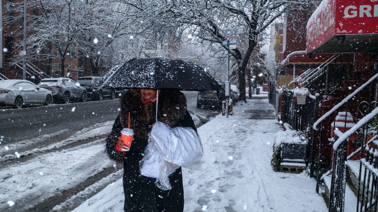
While snowfall rates during this period may be moderate, officials warn that cold surface temperatures will allow snow to stick immediately, quickly creating slick road conditions.
“Even the first round of snow will lead to hazardous travel, especially overnight and during early morning hours,” forecasters cautioned.
Some locations may experience a brief lull in snowfall late Saturday, but authorities stress that this break will be temporary.
Second round brings the heaviest snow
The most impactful phase of the storm is expected to begin Saturday night, when a second and heavier round of snow develops and continues into Sunday.
During this period, snowfall rates may increase, leading to rapid accumulation and worsening travel conditions. Forecasters say this second round will produce the highest snow totals of the event, pushing overall accumulations into the 6- to 14-inch range by the time snow ends Sunday evening.
“Roads may become snow-covered and difficult to navigate, even after snowfall tapers off,” the National Weather Service warned.
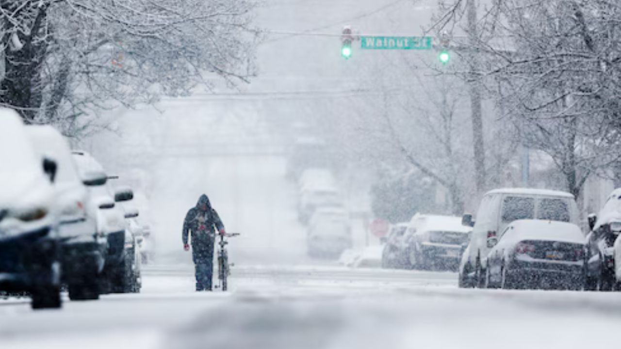
Travel conditions expected to deteriorate
As the storm progresses, travel conditions will steadily worsen, particularly during the second round of snowfall.
Drivers should expect:
- Snow-covered and icy roads
- Reduced visibility during heavier snow
- Limited improvement after snowfall ends due to cold temperatures
Officials are strongly urging residents to avoid unnecessary travel, especially from Saturday night through Sunday, when conditions may become dangerous or nearly impassable in some areas.
Those who must travel are advised to carry winter emergency supplies, including blankets, warm clothing, food, water, and a fully charged phone.
Brutal cold follows behind the snow
Adding to the storm’s impact, Arctic air will surge into southwest Missouri behind the snowfall, significantly increasing the danger.
Overnight temperatures are expected to fall into the single digits, while wind chills between –10° and –20°F are forecast each morning through Monday.
“These conditions pose a serious risk of frostbite and hypothermia,” forecasters said.
At wind chills this low, exposed skin can be affected in minutes, making prolonged outdoor activity extremely dangerous.
Read Also: Utilities Across the South Brace for Ice, Snow as Major Winter Storm Threatens Power Grid
Snow and ice to linger into next week
The combination of deep snow cover and extreme cold means that snow and ice will remain on the ground well after the storm ends.
Cold temperatures will:
- Slow snowmelt
- Cause refreezing each night
- Keep untreated roads and sidewalks slick
- Increase the risk of frozen pipes
Residents should be prepared for continued disruptions into early next week, even if snowfall has stopped.
Preparation urged before conditions worsen
Emergency officials are urging residents to complete preparations immediately, before the heaviest snow and cold arrive.
Recommended steps include:
- Stocking food, water, and medications
- Charging phones and backup batteries
- Checking heating systems
- Wrapping exposed pipes
- Limiting time outdoors during extreme cold
Pet owners are also advised to bring animals indoors and ensure livestock have adequate shelter and access to unfrozen water.
Extended impacts possible
Forecasters emphasize that this storm’s two-round structure increases the likelihood of extended impacts. Roads may not fully clear between snowfall phases, and the following cold will prevent rapid improvement.
“This is a long-duration winter event,” officials said.
“Conditions may remain hazardous even after the snow stops.”
Residents are encouraged to monitor forecasts closely, as small changes in timing or snowfall intensity could still affect local totals.
Staying weather-aware
Weather officials stress the importance of staying informed as the storm unfolds. Additional advisories or warnings could be issued if conditions worsen or if snowfall totals trend higher.
For now, southwest Missouri residents are urged to plan ahead, stay off the roads when possible, and take the cold seriously as one of the region’s more impactful winter storms in recent years moves through.
How much snow are you expecting where you live in southwest Missouri, and are you planning to stay home during the storm? Share your local conditions and preparation plans in the comments below.