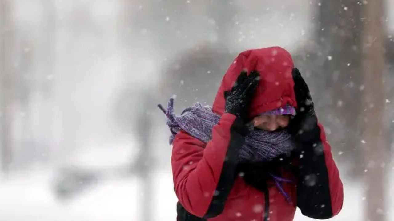
Chicago, Illinois — Winter weather is set to remain active across large parts of the Midwest and Northeast as multiple fast-moving clipper systems sweep in from western Canada, bringing additional snowfall, gusty winds, and intense lake-effect bands through Thursday.
While no single blockbuster storm is expected, forecasters warn that repeated rounds of snow and rapidly changing conditions could still create significant travel and safety concerns.
Series of clippers keeps snow chances elevated
Meteorologists say a train of Alberta clippers will continue to move southeast across the northern tier of the country, reinforcing cold air and generating periodic snowfall.
The steadiest snowfall is expected to stretch from the northern Plains into the Midwest and parts of the northern Appalachians, while snow reaching the Northeast coast may become lighter or break into flurries as systems weaken.
“This is a classic pattern where impacts add up over time, especially in areas prone to lake-effect snow.”
One clipper was exiting the Northeast late Monday, with snow squalls tapering off. However, lake-effect snow continued downwind of Lakes Erie and Ontario, prolonging hazardous conditions even after the main system passed.
Lake-effect snow already causing impacts
Authorities say lake-effect snow likely contributed to a large multi-vehicle crash in Michigan on Monday morning, underscoring how dangerous localized snow bands can be.
These bands often develop quickly and can drop heavy snow over short distances, sharply reducing visibility on highways.
“Even brief snow squalls can create whiteout conditions and lead to chain-reaction crashes,” officials warned.
Next clipper brings light but widespread snow
The next clipper system is expected to arrive Tuesday into Tuesday night, spreading 1 to 3 inches of snow across a broad swath from northeastern Montana through Michigan and northern Indiana.
While amounts are not expected to be extreme, the snow could still impact travel, particularly during evening and overnight hours.
Read Also: Philadelphia Braces for Light Snow Chances This Weekend as Two Systems Move Through
Midweek system follows similar track
Another clipper is forecast to move through on Wednesday, following a similar path but carrying less moisture.
Even so, forecasters say another 1 to 3 inches of snow is possible, with snowfall extending from:
- Northeastern Montana
- Much of North Dakota
- Southern Wisconsin
- Northern Illinois
By Wednesday night, steady snow may begin interacting with lake-effect snow and snow squalls, increasing the risk of uneven accumulation and rapidly changing conditions.
Snow spreads into Appalachians and New England
As the midweek system draws moisture off the Great Lakes, light snow could extend farther east, reaching parts of:
- West Virginia
- Western Pennsylvania
- Central and northern New York
- Central and northern New England
While snowfall in these areas may be lighter overall, persistent lake-effect bands remain the biggest concern.
Heavy lake-effect totals possible in localized areas
Forecasters say intense and long-lasting lake-effect snow bands could drop 6 to 12 inches of snow in favored locations, particularly from western Michigan into western and northern New York.
In the most persistent snowbelt areas, total lake-effect snowfall from Monday through Thursday could exceed 3 feet, even though surrounding regions receive much less.
“This kind of snowfall is extremely localized, but where bands lock in, impacts can be severe.”
Travel and aviation concerns remain
Even small amounts of snow can pose problems when paired with gusty winds and cold temperatures.
Key concerns include:
- Sudden slick spots on highways
- Rapid visibility drops during snow squalls
- Frequent aircraft de-icing operations, which could cause delays at regional airports
Drivers are urged to slow down during snow squalls and avoid sudden braking if visibility suddenly decreases.
Cold air reinforces the pattern
Along with the snow, temperatures are expected to remain among the coldest of the season so far, helping snow and ice linger on untreated surfaces.
Forecasters also note that an even stronger surge of cold air is possible late this week into the weekend, which could extend winter hazards beyond Thursday.
What to expect next
While no major single storm is on the horizon, officials stress that repeated rounds of snow, lake-effect bands, and cold can still create significant cumulative impacts.
Residents across the Midwest and Northeast are encouraged to:
- Monitor local forecasts closely
- Allow extra travel time
- Remain alert for sudden snow squalls, especially near the Great Lakes
As the clipper pattern continues, winter conditions are expected to remain firmly in place. How are conditions shaping up where you live, and have lake-effect bands impacted your area? Share your experience in the comments.