Lewes, DE — Meteorologists are increasingly confident that a nor’easter will develop and race up the Atlantic Ocean this weekend, but whether it delivers meaningful snow to Delaware — or mostly wind — still depends on the storm’s exact track.
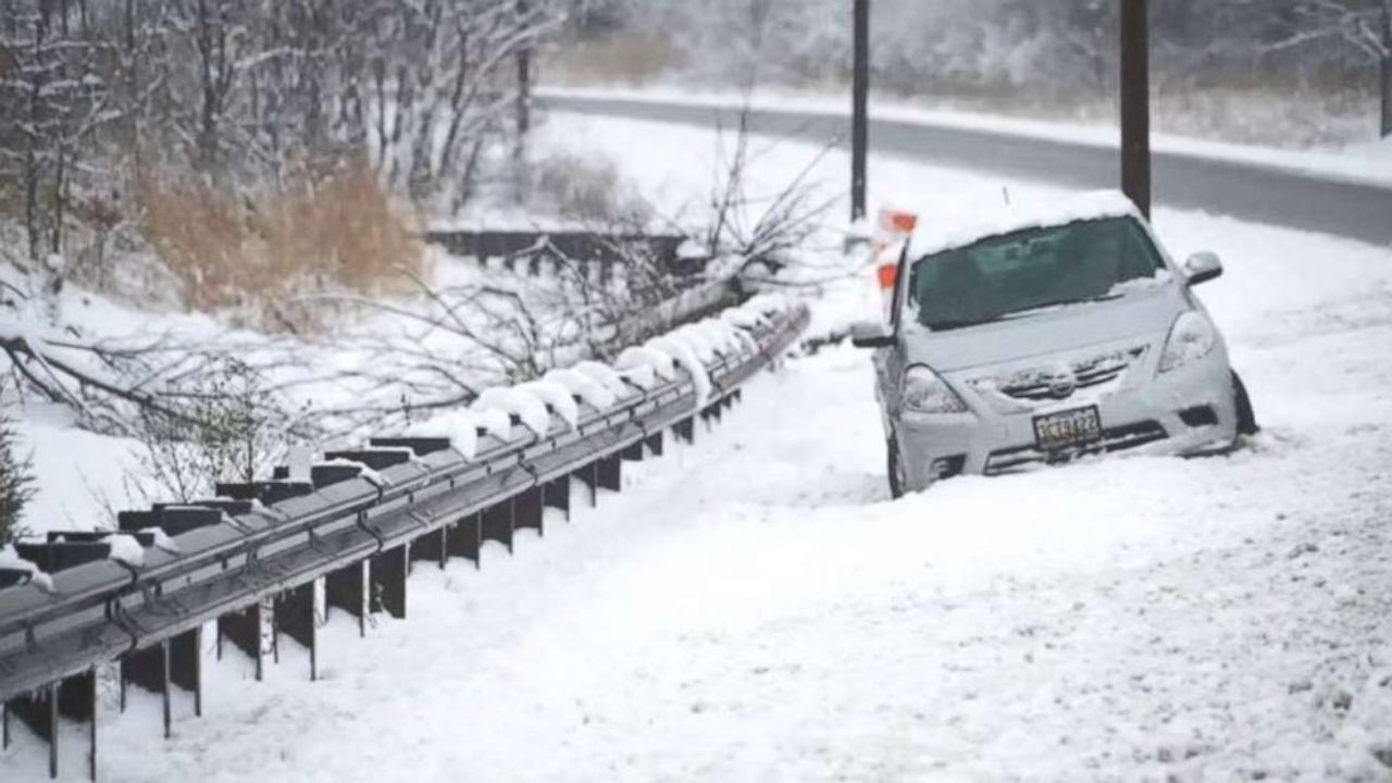
The potential system comes just one week after Wilmington experienced its biggest winter storm since 2016, leaving residents and officials watching this next setup with heightened attention. Forecast models agree on storm development off the Southeast coast on Saturday, but differ on how close it will pass to Delaware as it turns northward.
Storm track will decide snow totals
Forecasters say this is shaping up to be a high-gradient storm, meaning snowfall amounts could change dramatically over short distances.
“You could see 6 to 8 inches in one neighborhood, then drive five miles and only see 1 or 2 inches,” a meteorologist said, noting that this setup makes the forecast especially challenging.
If the storm tracks closer to the coastline, moisture could wrap back inland and produce accumulating snow. A farther offshore track would limit snowfall, leaving most of the impact to strong winds instead.
Coastal Delaware has the highest snow potential
Current projections place the best chance for significant snowfall along the immediate coast.
From Lewes to Fenwick Island, forecasters estimate about a 60% chance of at least 3 inches of snow. Farther inland, the odds drop:
- Dover has roughly a 40% chance of 3 inches
- North of Smyrna, probabilities fall to well under 30%
- New Castle County currently has the lowest snow potential
When it comes to heavier snowfall, forecasters say there is about a 50% chance of 6 inches at the beaches, compared to around 30% in Dover and significantly less farther north.
Why Delaware could miss out on snow
If snow fails to materialize, meteorologists say the most likely reason would be the storm remaining just too far offshore to pull Atlantic moisture back into the state.
“A small eastward shift would mean the difference between plowable snow and little more than flurries,” forecasters explained.
Because the core of the storm is expected to stay well out over the Atlantic, there is little concern for sleet or freezing rain.
“We’re not worried about warm air wrapping into this system,” one meteorologist said. “If precipitation falls, it should be all snow.”
Blizzard conditions possible if snow develops
If accumulating snow does occur, near-blizzard conditions are possible, particularly along the coast.
Forecasters say the combination to watch for includes:
- Visibility reduced below one-quarter mile due to falling or blowing snow
- Sustained winds around 30 mph
- Wind gusts approaching 50 mph
Even lighter snowfall could become hazardous if paired with strong winds, especially on exposed roadways and bridges.
Wind impacts likely regardless of snowfall
Even in a near-miss scenario, strong winds are still likely across southern Delaware. Meteorologists point to a powerful Arctic high pressure system positioned northwest of the region, which would tighten the pressure gradient and drive gusty conditions.
“Even if the snow stays offshore, it’s still going to be windy,” forecasters said.
Those winds could lead to blowing sand along the coast, rough marine conditions, and difficult travel for high-profile vehicles.
Read Also: Explosive East Coast Storm Could Deliver Once-in-a-Generation Snowfall to Parts of North Carolina
Forecast confidence improves late week
Meteorologists expect greater clarity on the storm’s track by Friday, once the system begins to organize offshore and higher-resolution data becomes available.
Until then, residents are encouraged to:
- Monitor forecast updates
- Prepare for the possibility of coastal snow and strong winds
- Avoid assuming uniform conditions across the state
With Delaware still recovering from last weekend’s storm, even modest additional snowfall could have outsized impacts.
Do you think the nor’easter will hug the coast and bring snow to your area, or slide offshore and spare Delaware another round of accumulation? Share what you’re expecting in the comments below.