Baltimore, Maryland — Residents across Maryland are preparing for a sharp change in the weather as strong winds and colder air sweep into the region on Sunday, bringing blustery conditions, scattered showers, and even the chance for snowflakes in some areas. Forecasters say this is just the beginning of a more active stretch of winter weather that could lead to wintry conditions later in the week.
While much of the state will see chilly rain showers and gusty winds, western Maryland faces a higher-impact winter setup, prompting weather alerts and closer monitoring.
Winter Weather Advisory Issued for Western Maryland
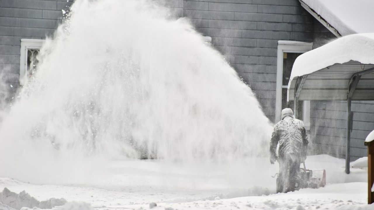
The National Weather Service has issued a Winter Weather Advisory for Garrett County, where 2 to 4 inches of snow are possible.
Officials say colder air moving into the higher elevations will allow rain showers to transition to snow, especially during the afternoon and evening hours.
“Snow accumulation is most likely in the higher elevations, where colder air will remain in place,” forecasters said.
Drivers in western Maryland are urged to use caution, particularly on untreated roads and during periods of heavier snowfall.
Windy and Colder Conditions Take Hold Sunday
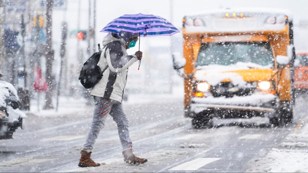
Across the rest of Maryland, Sunday will feel noticeably colder and windier compared to recent days.
Forecasts call for:
- High temperatures topping out in the mid-40s
- Wind gusts reaching near or above 30 mph
- Passing showers throughout the day
As colder air filters in, some showers could briefly mix with snowflakes or sleet pellets, especially during the afternoon and early evening hours.
“While most areas will see rain, a brief wintry mix cannot be ruled out,” meteorologists noted.
The strong winds will make temperatures feel colder than what thermometers indicate, especially during the afternoon hours.
Cold Night Ahead as Temperatures Drop
Conditions are expected to turn even colder Sunday night.
Forecasters say colder air will continue moving into the region, allowing overnight temperatures to fall into the upper 20s by early Monday morning. Any lingering moisture could refreeze on roadways in colder areas, particularly in western and northern parts of the state.
Residents are encouraged to secure outdoor items ahead of the wind and dress appropriately for the colder temperatures.
Quiet Start to the Week Before Next System
After Sunday’s blustery weather, Monday through most of Wednesday is expected to bring a brief stretch of calmer conditions.
Forecasts indicate:
- Mostly sunny skies
- High temperatures ranging from the mid-40s to near 50 degrees
- Cold mornings with gradual daytime warming
Despite the quieter start, meteorologists stress that the break will be short-lived.
Wintry Weather Possible by Thursday
Attention is already turning to the next storm system expected to approach midweek.
Clouds are forecast to increase by Wednesday evening, followed by scattered showers as the system moves closer. By Thursday, colder air is expected to return, potentially allowing precipitation to fall as snow or a wintry mix, especially in colder inland and elevated areas.
Read Also: Powerful Santa Ana Winds Sweep Southern California Again, But This Time Without Wildfire Fears
High temperatures on Thursday may struggle to rise out of the 30s, reinforcing the wintry feel.
“We’re watching the potential for colder air to line up with incoming moisture,” forecasters said, adding that conditions could evolve quickly.
Meteorologists say they are closely monitoring the late-week system, and a First Alert Weather Day could be declared if confidence increases in impactful wintry weather.
Residents are advised to stay updated with the latest forecasts as the week progresses, particularly if travel plans are scheduled for Thursday or Friday.
What Marylanders Should Do Now
Officials recommend taking a few simple steps:
- Monitor weather updates daily
- Use caution while driving in windy or snowy conditions
- Prepare for colder mornings and possible wintry precipitation later this week
As winter weather makes a renewed appearance across Maryland, staying informed will be key as conditions shift rapidly.
Do you think this system could bring Maryland its first significant winter weather event of the season? Share your thoughts and local conditions in the comments below.