
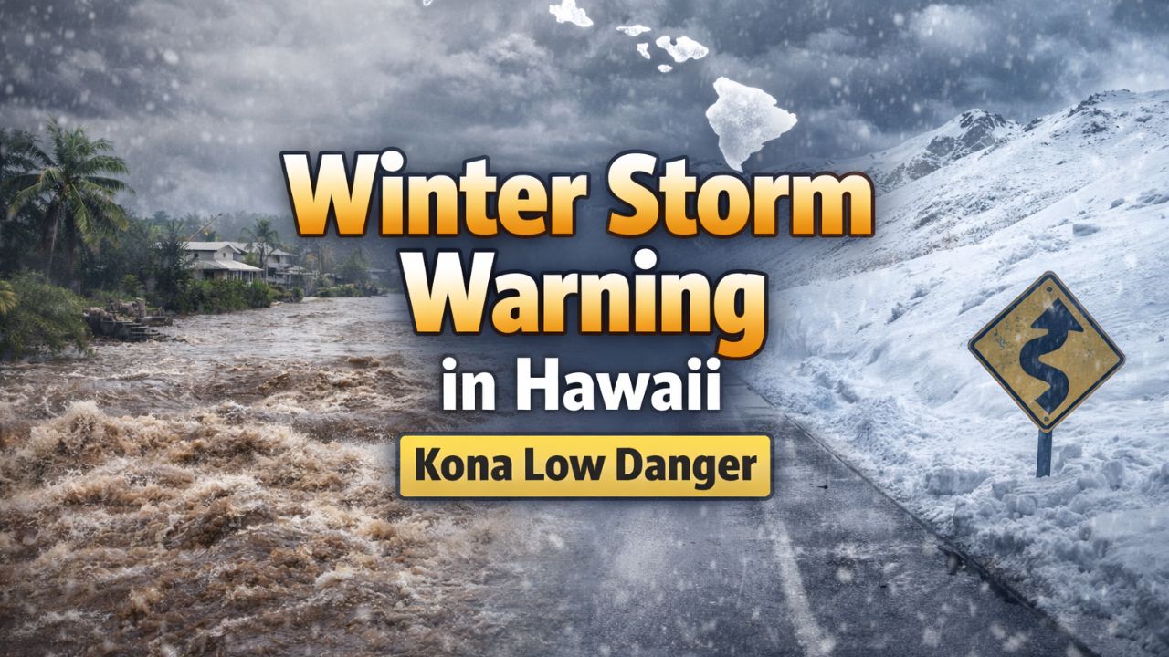
Honolulu, Hawaii — An unusually active winter weather pattern is gripping the Hawaiian Islands as a powerful Kona low strengthens near the state, prompting Winter Storm Warnings, Flood Watches, and growing concerns over landslides and urban flooding, according to forecasters.
The cold low-pressure system, currently positioned just northwest of the islands, is drifting south while dragging a broad and active rainband across the state.
Meteorologists say the system will remain influential through at least early Tuesday, delivering heavy rain, thunderstorms, strong winds, and rare winter conditions at higher elevations.
Kona low drives widespread rain and flooding risk
The National Weather Service warned Monday that rapid rainfall runoff could overwhelm drainage systems, especially in low-lying and urban areas.
“Rapid runoff from heavy rain may result in significant urban flooding and landslides,” forecasters cautioned.
The threat is being amplified by a persistent southeasterly wind flow, which is pushing deep tropical moisture directly into the windward and mountain-facing slopes of the islands.
Heavy rain targets Big Island and Maui County
Forecasters say the Big Island and Maui County are especially vulnerable in the coming days as moisture continues to pile up against Hawaii’s tall terrain.
Rainfall totals of 1 to 2 inches are expected statewide through midweek, but localized areas could see as much as 8 inches of rain, particularly along the southern and eastern slopes of the Big Island and parts of Maui.
The interaction between tropical moisture and Hawaii’s steep mountains is creating ideal conditions for prolonged, heavy rainfall, officials said.
Because of this threat, a Flood Watch remains in effect for most of the state through Monday afternoon, with extensions possible if conditions worsen.
Winter Storm Warning issued for Big Island summits
In a rare but dangerous twist, winter weather is also unfolding at Hawaii’s highest elevations.
A Winter Storm Warning is in effect through early Tuesday morning for the summits of the Big Island, where falling temperatures are combining with moisture to produce snow, ice, and hazardous travel conditions.
“Accumulating snow and ice will create significant icing on summit roadways,” forecasters warned.
These conditions are particularly dangerous given the limited infrastructure and emergency access at higher elevations.
High winds and near-zero visibility possible
The summit areas are also facing powerful winds, further complicating conditions.
Forecasts call for:
- Sustained strong winds
- Wind gusts of 50 to 60 mph
- Occasional gusts up to 75 mph at lower elevations
Near-zero visibility is possible at times, officials said, due to blowing snow, fog, and heavy precipitation.
Authorities are urging anyone considering travel to summit areas to postpone plans until conditions improve, emphasizing that visibility and road conditions could deteriorate rapidly.
Flooding already reported in Maui
The storm’s impact is already being felt across the islands.
Drone footage released by County of Maui shows extensive flooding following a powerful storm that struck the island chain late last week. Roads, neighborhoods, and low-lying areas were inundated, highlighting the risks as additional rain moves in.
“This is the type of system where impacts can escalate quickly,” emergency officials noted.
Landslide threat grows with saturated ground
With soils already soaked from previous storms, the risk of landslides and rockfalls is increasing, especially in steep or mountainous terrain.
Emergency managers are advising residents to:
- Stay alert for rapidly rising water
- Avoid flooded roads
- Be prepared to move to higher ground if warnings are issued
Pattern shifts later this week, but rain may linger
By midweek, forecasters expect the Kona low to gradually weaken as it drifts west of the state. However, the break may be short-lived.
A weaker and milder disturbance is forecast to move in later in the week, bringing additional rain chances, though impacts are expected to be less severe than the current system.
“While the worst conditions should ease, unsettled weather will likely continue,” forecasters said.
A reminder of Hawaii’s weather extremes
Kona lows are among the most disruptive weather systems in Hawaii, capable of producing flooding rains, damaging winds, thunderstorms, and even snow — all within the same event.
This storm is another reminder that Hawaii’s winter weather can be just as dangerous as mainland systems, officials emphasized.
Residents and visitors are urged to stay informed, monitor official forecasts, and follow guidance from local authorities as conditions evolve.
Have you experienced flooding or severe weather where you live in Hawaii? Do you think the state is prepared for storms like this? Share your thoughts in the comments below.


