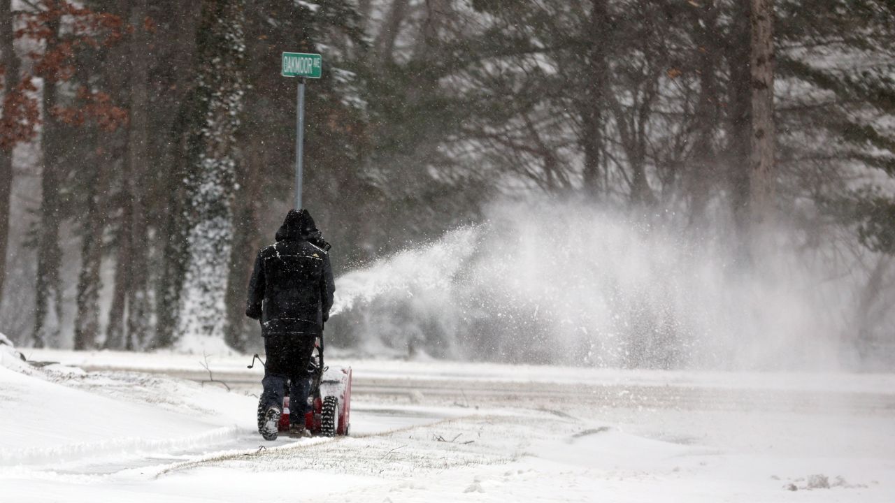
Sacramento, California — After days of soaking rain, flash flooding, and landslide concerns, much of California dries out on Tuesday, offering a short-lived pause before another system brings rain to Northern California and fresh mountain snow by Wednesday.
The break comes after a very active stretch of weather that added significantly to California’s already above-average rainy season, with impacts felt from the Central Coast to the far northern mountains.
Weekend storms leave flooding and landslides behind
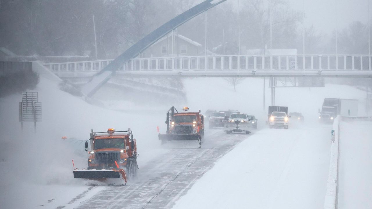
The most recent storm system delivered widespread rain across the state from the weekend into Monday, with some areas seeing several inches of rainfall in just three days.
By Monday morning:
- Santa Barbara and Ventura counties recorded 4 to 5 inches of rain
- Parts of the Central Coast saw similar totals
- Far northwest California coastal ranges and Sierra foothills below snow level reported 6 to 10 inches
The impacts were significant.
The National Weather Service logged more than 100 flash flooding reports statewide over the past three days, along with over two dozen landslides and debris flows.
Emergency officials said saturated ground and steep terrain played a major role in triggering slope failures.
Tuesday offers a temporary lull
Tuesday serves as a much-needed recovery day for most of California.
With the main storm track shifting north into the Pacific Northwest, lower-elevation rain and heavy mountain snow largely stay out of the state.
Dryer weather allows rivers, creeks, and soils some time to stabilize, though officials caution that saturated ground remains vulnerable in prone areas.
More rain and snow return Wednesday and Thursday
The calm doesn’t last long.
By Wednesday into Thursday, another system pushes into Northern and Central California, bringing scattered showers and light snowfall.
Rainfall totals are expected to be modest:
- 1 to 3 inches of rain possible across parts of Northern and Central California
- Southern California should see lighter totals, if any rain at all
Snowfall will focus on higher elevations.
Any additional snow will be pinned to the northern Sierra and the Siskiyou Mountains, where up to a foot of new snow could accumulate.
King tides add to coastal concerns
As storms moved through the region, King Tides added another layer of impact along the coast.
King Tides occur when the moon is near full and closest to Earth, causing exceptionally high tides that can worsen coastal flooding during storms.
Parts of the San Francisco Bay Area recorded record-high tides on Saturday, compounding coastal impacts.
While coastal flood advisories expired Monday afternoon, officials say tides may remain elevated even without new alerts.
Rainfall running well above normal
While winter is typically California’s wet season, this year’s rainfall is running well above average in many cities.
Since October 1:
- Downtown Los Angeles has received 14.11 inches, compared to an average of just over 4 inchesThis ranks as the city’s fourth-wettest rainy season-to-date through January 4 and the wettest in 21 years
- Downtown San Francisco has logged over 11 inches, more than 2 inches above average
- Redding has seen over 18 inches, exceeding normal by more than 5 inches
Much of Southern California’s rain fell during the week of Christmas, contributing to the dramatic totals.
Snowpack makes a remarkable comeback
Perhaps the most encouraging development is unfolding in the mountains.
California’s snowpack plays a critical role in the state’s water supply, typically providing about 30% of annual freshwater through spring and summer runoff.
Early in the season, conditions looked grim.
On December 19, 2025, statewide snowpack measured just 12% of normal, largely due to persistent warmth that limited snowfall to only the highest elevations.
That pattern has since shifted.
As of January 5, 2026, the snowpack has surged to 90% of normal, thanks to colder storms and consistent snowfall.
Nature has been doing its part to rapidly rebuild the snowpack, easing long-standing water supply concerns.
What to watch next
Forecasters say California remains in an active winter pattern, meaning periodic storms will continue through the heart of the rainy season.
While no major systems are imminent after midweek, officials urge residents to remain alert, especially in areas vulnerable to flooding, landslides, or mountain travel hazards.
Have recent storms affected your area, or are you welcoming the rain and snowpack recovery? Share your experience in the comments below.