Davenport, Iowa — Early long-range guidance is signaling a potentially snowier February 2026 for eastern Iowa, with federal forecasters highlighting an increased chance for above-normal snowfall as winter patterns take shape across the Midwest.
According to the National Oceanic and Atmospheric Administration’s Climate Prediction Center, eastern Iowa falls within a broad corridor where snowfall probabilities trend higher than average. The signal stretches from the Upper Midwest into the Northeast, suggesting a regional setup favorable for more frequent or longer-lasting snow events.
Eastern Iowa Shows Stronger Snow Signal Than the West
The outlook indicates that areas along and east of Interstate 35, including communities near the Mississippi River, have a stronger signal for elevated snowfall potential than western portions of the state.
Forecasters note this aligns with common winter storm tracks that often favor eastern Iowa during active February periods. When storm systems move through the central Plains and intensify as they head east, eastern Iowa frequently sits in the zone where colder air and deeper moisture overlap.
What the CPC Outlook Does — and Doesn’t — Show
It’s important to note that CPC monthly outlooks do not predict specific storm dates or snowfall totals. Instead, they assess how total snowfall over the month is likely to compare with long-term averages.
For February 2026, the guidance suggests:
- Cumulative snowfall may exceed normal levels
- The number of snow events could be higher than average
- Snow may last longer on the ground between systems
These signals point to a busier-than-usual winter stretch rather than one single major storm.
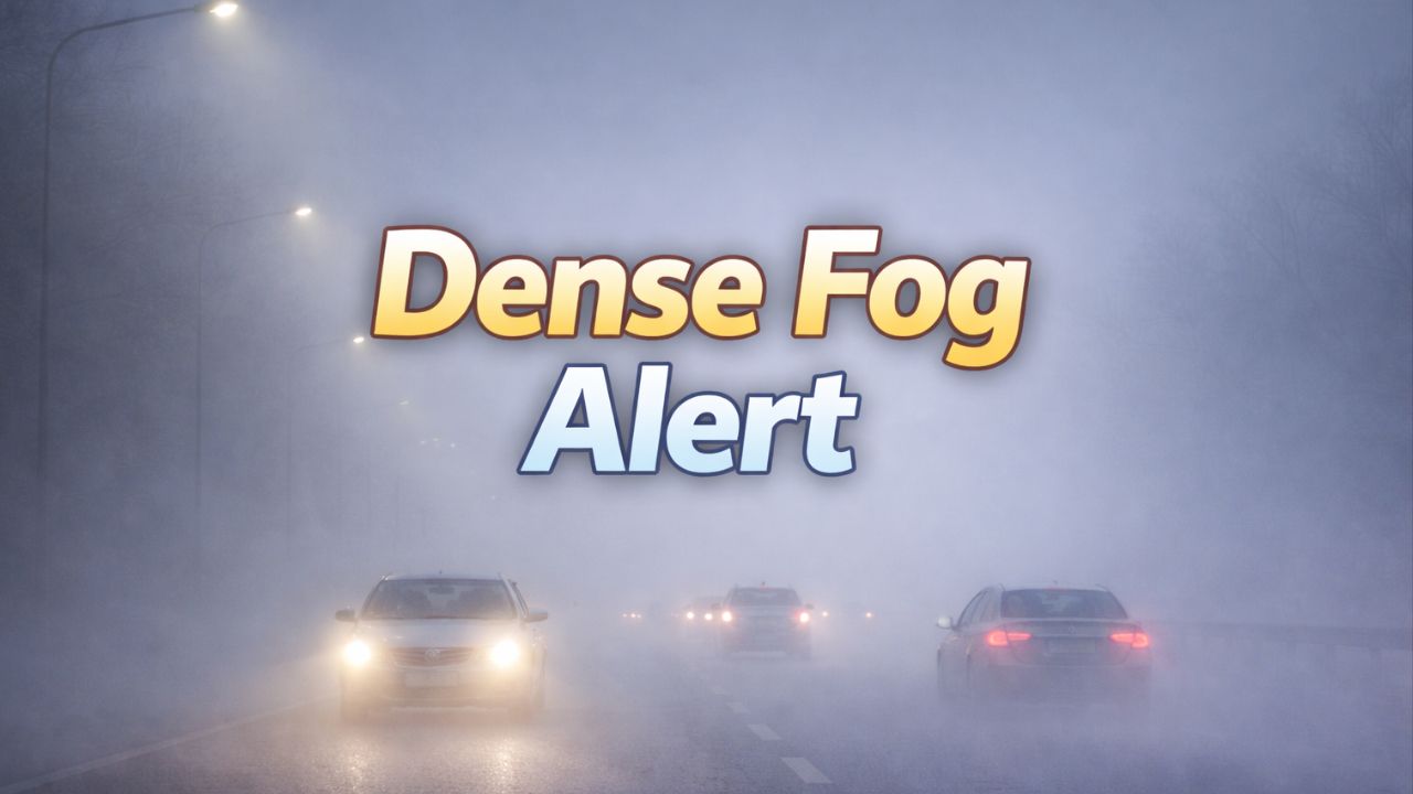
Temperatures Favor Snow Over Rain
Temperature projections for February show near-normal readings across much of Iowa, including the eastern half of the state. That temperature profile is significant, as it supports snowfall rather than rain or mixed precipitation during most systems.
Read Also: Southern Snow Chances Rise This Weekend, But Big Impacts Still Unlikely
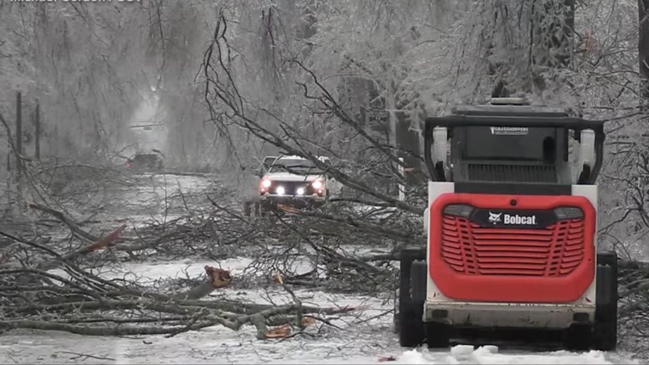
Forecasters say near-average temperatures combined with increased storm frequency often result in:
- More consistent snow cover
- Repeated travel slowdowns
- Higher chances of school and commuter disruptions
Overnight periods and stronger cold-air intrusions would further favor snow accumulation during passing systems.
Regional Pattern Adds Confidence
Eastern Iowa is not alone in the elevated snowfall outlook. Neighboring states — including Illinois, Minnesota, Wisconsin, and Missouri — are also included within the above-normal snowfall zone.
Meteorologists say that broader regional agreement increases confidence that this is a large-scale winter pattern, not a localized anomaly. When multiple states share the same signal, it often reflects persistent storm tracks and atmospheric setups lasting several weeks.
What This Could Mean for Daily Life
If the outlook holds, eastern Iowa could see a February marked by frequent plowing operations, repeated commute impacts, and higher demand on road crews and freight operations.
Students, commuters, and transportation planners may want to prepare for:
- More snow-covered roads
- Periodic delays during morning and evening travel
- Higher odds of lingering snow between storms
That said, forecasters stress that confidence will continue to improve as February approaches and shorter-range models begin to resolve individual systems.
Looking Ahead
Long-range outlooks are best used as planning tools, not guarantees. As January transitions into February, updated forecasts will refine the timing, intensity, and type of winter weather expected across Iowa.
For now, eastern Iowa residents are encouraged to stay informed and be ready for a potentially active stretch of winter weather if the current pattern holds.
Do you think February has been Iowa’s snowiest month in recent years, or has winter shifted earlier or later where you live? Share your local experience and expectations in the comments below.