Atlanta, Georgia — Talk of snow is spreading across the South as a quick-moving winter system takes shape for the weekend, but forecasters caution that the hype may be getting ahead of the reality. While some snow is possible on Sunday, most communities are expected to see little accumulation, with cold air — not snowfall — shaping the biggest impacts.
Meteorologists say confidence is growing that a storm system will sweep through the Southeast late Saturday into Sunday. However, this remains a low-confidence, fast-evolving forecast, and small changes could significantly alter outcomes from one area to the next.
What Forecasters Are Watching Closely
Right now, guidance suggests a disturbance — possibly a developing low-pressure system — will form in the northeastern Gulf by late Saturday. From there, it is expected to track northeast along the Southeast coast on Sunday, spreading precipitation across parts of the South.
Whether that precipitation falls as rain or snow depends on how strong the system becomes and how well it can pull together cold air and moisture at the same time.
A stronger storm could briefly overcome marginal conditions and produce snow, while a weaker system may struggle to generate anything more than flurries.
How Much Snow Is Actually Expected?
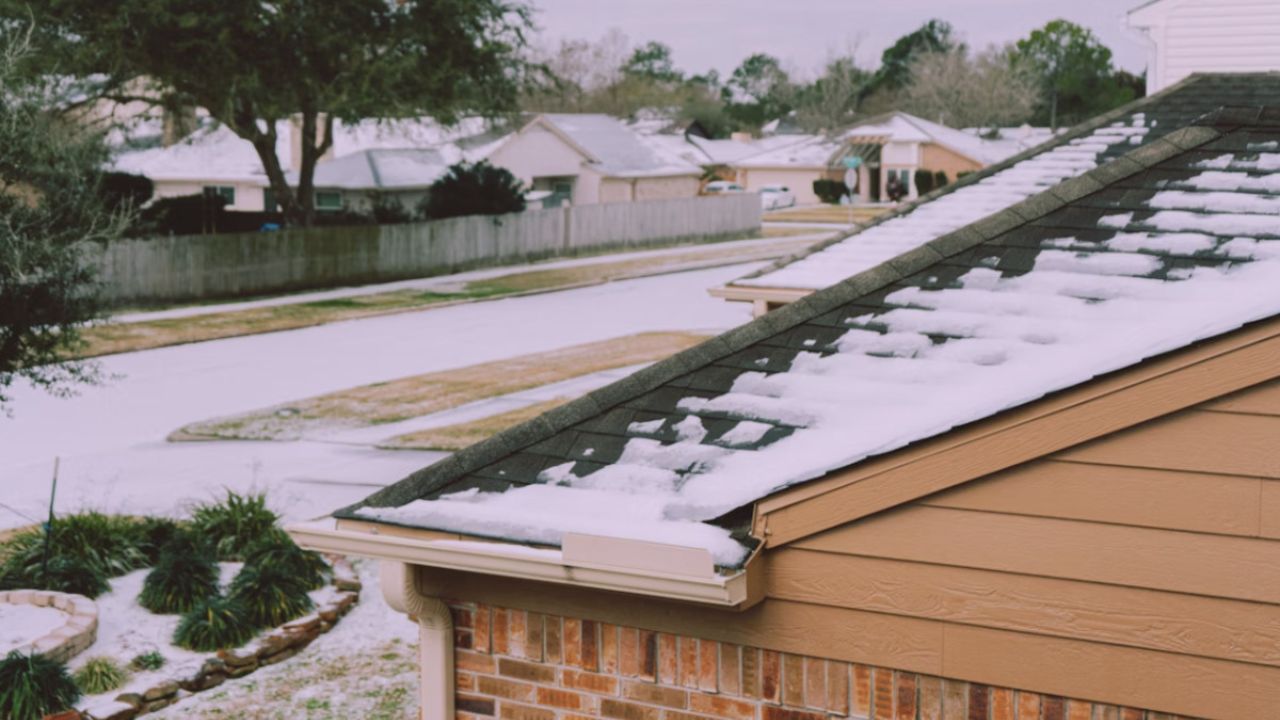
For most of the South, snowfall — if it happens at all — is expected to be light and short-lived.
Outside the Appalachian Mountains, forecasters currently expect conversational flurries to around 1 inch at most. This setup is not expected to produce a widespread or disruptive winter storm.
There is a low-end possibility that a few isolated communities could see more than 2 inches, but that outcome is considered unlikely and highly localized.
In fact:
- The chance of more than 1 inch of snow outside the mountains is below 40%
- The chance of at least a dusting approaches 50% in some areas from southern Mississippi into central Georgia
Even in those spots, snow would likely fall briefly and unevenly.
Why Forecast Confidence Remains Low
One of the biggest challenges with southern winter systems is model inconsistency, and this forecast is no exception.
Earlier in the week, some weather models showed a more organized storm capable of producing snow. By Thursday, newer runs pulled back, either weakening the system or reducing available moisture.
Not all models show a storm developing, and even those that do don’t always show enough moisture to support snowfall.
Wild swings between model runs are common with setups like this, which is why forecasters stress the importance of checking updates frequently.
Read Also: Massachusetts Braces for Winter Shift as Snow Chances Return This Weekend
Cold Air Is the One Certainty
While snowfall remains questionable, cold air is not.
The South is set to experience two surges of cold air over the coming days. The first arrives late this week, followed by a second, stronger push late Saturday into Sunday.
Overnight temperatures are expected to drop into the teens, 20s, and low 30s, extending close to the Gulf Coast. By Monday morning, temperatures may be even colder than Sunday morning, especially along the Atlantic coast and into Florida.
Cold ground temperatures help snow stick, but they also increase risks unrelated to snow.
Residents are urged to protect pipes, plants, and pets, regardless of whether snow falls.
Dry Air Could Limit Snow Development
Despite the cold, one major ingredient may be missing: moisture.
The second cold-air surge will bring very dry continental air into the region. Dew points are forecast to drop into the teens and 20s across much of the South — a sign of air that is not favorable for precipitation.
Unless snowfall becomes heavy enough to overcome that dryness, the dry air may suppress snow formation entirely, even with cold temperatures in place.
This is why forecasters describe the setup as more of an “if” than a “when.”
Regional Differences to Keep in Mind
Snow chances are not equal across the South.
- Interior and higher-elevation areas, especially within the Appalachians, have the best chance of seeing measurable snow
- Coastal and lowland areas are more likely to see rain or brief flurries
- Areas farther north along the East Coast could see increased impacts if the storm tracks closer to shore
A small shift in the storm’s path could change outcomes quickly, particularly near the Carolinas and Mid-Atlantic.
Bottom Line for the Weekend
At this stage, the most likely scenario features light snow or flurries, limited accumulation, and cold conditions across the South.
Key takeaways:
- Snow is possible Sunday, but not guaranteed
- Most areas see little or no accumulation
- Cold air is the main concern
- Forecast confidence remains low
As the weekend approaches, clarity will improve. Until then, staying informed and prepared for cold weather — rather than a major snowstorm — is the safest approach.
Do you think southern snow chances tend to get overhyped, or have you seen surprise snow events where you live? Share what you’re watching for this weekend in the comments below.