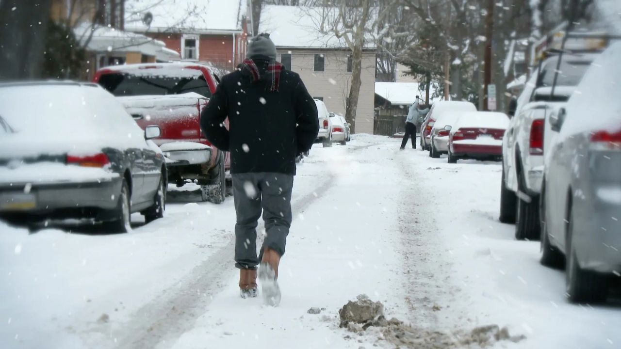
Boston, Massachusetts — After an unusually mild stretch to start January, winter conditions are finally reasserting themselves across Massachusetts. A surge of cold air is arriving first, setting up two separate snow chances this weekend, though forecasters say the likelihood of a major, high-impact snowstorm remains low for most of the state.
So far this winter, Boston has seen well-below-average snowfall, with just 1.1 inches recorded and nine consecutive days of above-normal temperatures. That pattern is about to change, at least temporarily, as colder air pours in and unsettled weather follows.
Sharp Temperature Drop Arrives First
The most confident part of the forecast is the incoming cold.
Temperatures are expected to drop rapidly after sunset Thursday, and by Friday morning, much of the Boston area will wake up to readings in the teens. A gusty west wind will make it feel even colder, with wind chills dipping into the single digits during the morning commute.
That represents a temperature swing of nearly 30 degrees compared to Thursday morning, a noticeable jolt back into mid-winter conditions.
Saturday Brings the First Snow Opportunity
Saturday is shaping up to be a cloudy, chilly day with periods of precipitation developing before sunrise and lingering into the evening.
Because ground temperatures will be borderline — in the low to mid-30s, precipitation is expected to fall as a mix of rain and snow, especially in coastal and southeastern parts of the state.
Read Also: Arctic Blast Could Bring Rare Southern Snow as Florida Braces for Freezing Temperatures
What to expect Saturday:
- Off-and-on rain and snow showers
- More rain mixing in inside the I-95 corridor
- Higher snow potential north and west of I-95
In those colder interior areas, forecasters are calling for a light coating to around 2 inches, with the best chance of reaching 2 inches in higher elevations. Snow may briefly whiten the ground in these locations, while coastal areas struggle to see much stick.
Coastal Storm Late Sunday: A Near Miss?
Attention then turns to a powerful storm system expected to develop offshore late Sunday, which has generated plenty of discussion and speculation.
While the storm itself is strong, its exact track will determine whether Massachusetts sees any impact at all.
A shift of just 50 to 100 miles could mean the difference between accumulating snow and a complete miss for southern New England.
As of the latest forecasts, confidence is increasing that the storm will track far enough offshore to keep most of Massachusetts out of harm’s way.
Current expectations suggest:
- Most of the state sees little to no impact
- Odds of a major snowstorm are now below 10%
- Best chance for any accumulation is far southeastern Massachusetts
Where Snow Is Still Possible Sunday Night
If the northern edge of the storm brushes the region, the Cape and Islands would be the most likely areas to see snow.
In that case, forecasters say light accumulation in the 1–3 inch range would be possible. Moving north toward Boston and central Massachusetts, the chances of measurable snow drop off quickly.
For most inland and northern communities, Sunday night may pass with no snow at all.
Gillette Stadium Weather Looks Cooperative
Fans heading to Gillette Stadium for Sunday afternoon football should encounter relatively calm winter weather.
The New England Patriots are scheduled to host the Houston Texans at 3 p.m., and conditions look manageable by January standards.
Game-day outlook includes:
- Temperatures in the low to mid-30s
- Light winds
- Partly sunny skies with increasing clouds later
The risk of snow during the game is minimal, though those traveling south and east afterward could see a few flurries late in the evening.
Arctic Cold Builds Next Week
Once the weekend systems move through, an Arctic air mass is expected to settle over New England next week.
Temperatures will run well below average for several days, delivering a much colder feel than what residents experienced earlier this month. At this time, no major storms are showing up immediately, but cold air will firmly be in place.
Bottom Line
Winter is making a noticeable return, but this does not look like a blockbuster snowstorm weekend for most of Massachusetts.
Key takeaways:
- Significant cold arrives first
- Light snow possible Saturday, mainly north and west of I-95
- Sunday night storm likely stays offshore
- Any Sunday snow most likely confined to the Cape and Islands
Forecast confidence will continue to improve as the weekend approaches, especially with the coastal storm’s track. Staying updated remains important, particularly for travel plans.
Do you think this offshore storm will stay out to sea, or could southern New England still see a surprise? Share what you’re watching for and how conditions look where you live in the comments below.