Washington, D.C. — Holiday travelers along the busy Interstate 95 corridor may need to factor in winter weather this weekend, as forecasters track two separate systems capable of bringing periods of light snow from the Mid-Atlantic to New England from Friday night through Martin Luther King Jr. Day.
While snowfall has been below average this winter for many major Northeast cities, an incoming Arctic front and a follow-up coastal system could change conditions just enough to create slick roads and travel slowdowns along one of the nation’s most heavily traveled highways.
Arctic Front Ushers in First Snow Chance
The first round of wintry weather is expected to arrive late Friday night into Saturday morning as an Arctic front pushes into the Northeast.
Colder air behind the front will allow precipitation to fall as snow in parts of the region, though amounts are expected to remain modest for most metro areas.
Forecasters say snow could begin overnight Friday and linger into Saturday morning, with brief bursts capable of producing 1 to 2 inches in some locations.
Highest Totals Favor Interior and Higher Elevations
The best chances for measurable accumulation are expected away from the immediate I-95 corridor.
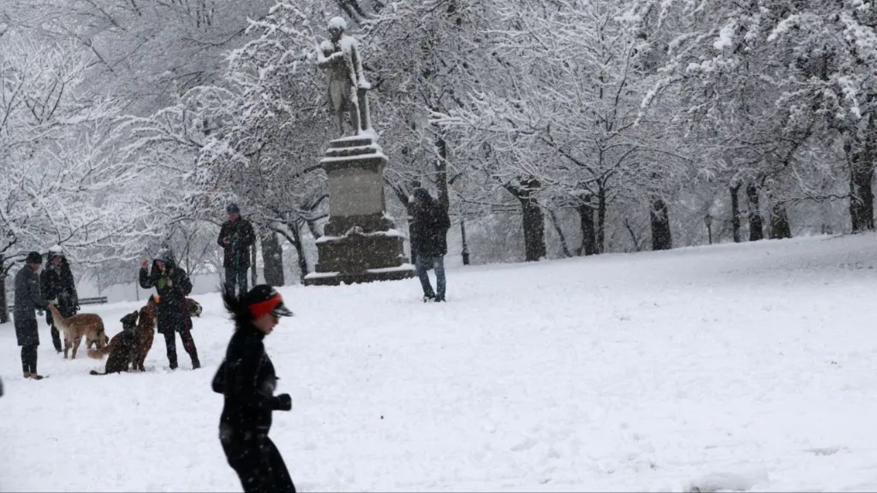
Areas stretching from the Poconos northward into Upstate New York and parts of New England are forecast to sit in the most favorable zone for snow.
Higher elevations west of I-95 are expected to remain cold enough for snow to stick, allowing totals to add up more efficiently than in coastal cities.
In these interior locations, snow cover is more likely to develop and linger through Saturday morning.
I-95 Corridor Could See Spotty Accumulation
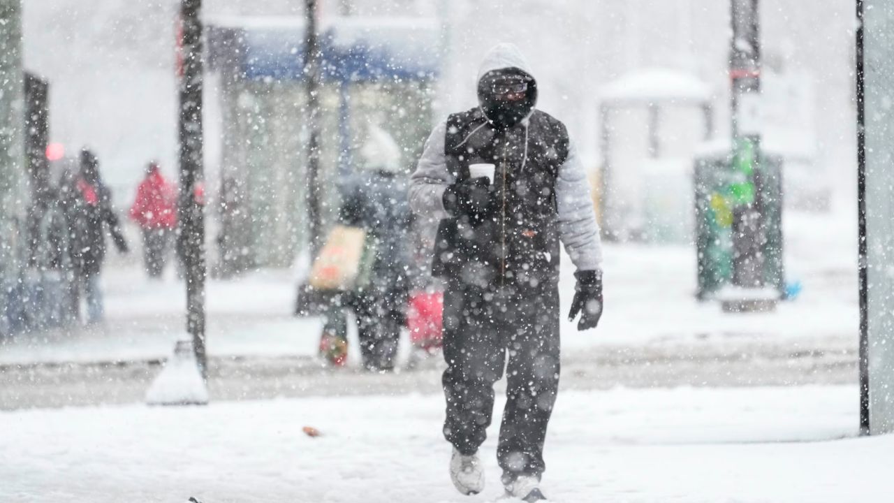
Cities closer to the interstate — including Washington, D.C. and Philadelphia — may see snow closer to the highway itself, raising concerns for early-morning travel.
While not everyone along I-95 will see accumulation, even light snow during peak travel times could lead to slick bridges, slower traffic, and minor delays.
Flurries Possible in Major Northeast Cities
Farther north, forecasters say a few flakes could reach major cities before precipitation tapers off.
New York City and Boston may see brief snow showers or flurries, though meaningful accumulation in urban centers appears unlikely during the first system.
Interior locations northwest of these cities — including Syracuse — stand a better chance of seeing snow-covered ground due to colder temperatures.
Second Snow Chance Late Sunday Into Monday
The holiday weekend may not end with Saturday’s system. Forecast models indicate an area of low pressure developing late Sunday and moving north along the Eastern Seaboard into early Monday morning.
If the system stays close enough to the coast, it could bring another round of light snow to parts of the Mid-Atlantic and Northeast.
Even limited snowfall could affect travel as people return home following holiday plans.
Read Also: Dense Fog Lingers in Sacramento as Weekend Freeze Risk Builds
At this time, forecasters say the second system also appears light and fast-moving, with uncertainty remaining about how close it tracks to the coast.
What Travelers Should Expect
Meteorologists stress that this is not shaping up to be a major winter storm, but timing during a holiday weekend makes even small amounts impactful.
Key points to keep in mind:
- Light snow possible Friday night into Saturday
- Higher totals inland and at higher elevations
- Spotty travel impacts along I-95
- Another chance for light snow late Sunday into Monday
Drivers are encouraged to monitor forecasts, allow extra travel time, and be alert for rapidly changing road conditions, especially overnight and early morning.
Looking Ahead
After the holiday weekend, colder air is expected to linger across the Northeast, keeping winter firmly in place even as snow chances diminish.
Forecasters say updates will continue as the timing and placement of both systems become clearer.
Are you traveling along I-95 this weekend, or expecting snow where you live? Share what you’re seeing — and how it may affect your plans — in the comments below.