Detroit, Michigan — Residents across Southeast Michigan are being urged to prepare for a volatile stretch of winter weather as strong winds, light snow, and plunging temperatures combine to create hazardous travel conditions and dangerous wind chills from Monday into Tuesday morning.
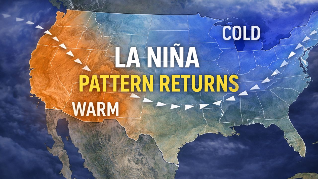
According to the National Weather Service, a Winter Weather Advisory is in effect for all of Southeast Michigan from 12 a.m. Monday through 10 a.m. Tuesday, as Arctic air surges into the region behind a cold front. While snowfall amounts are expected to remain relatively light, officials warn that wind, rapidly falling temperatures, and snow squalls could significantly increase risks on the roads.
Light snow and falling temperatures to start the week
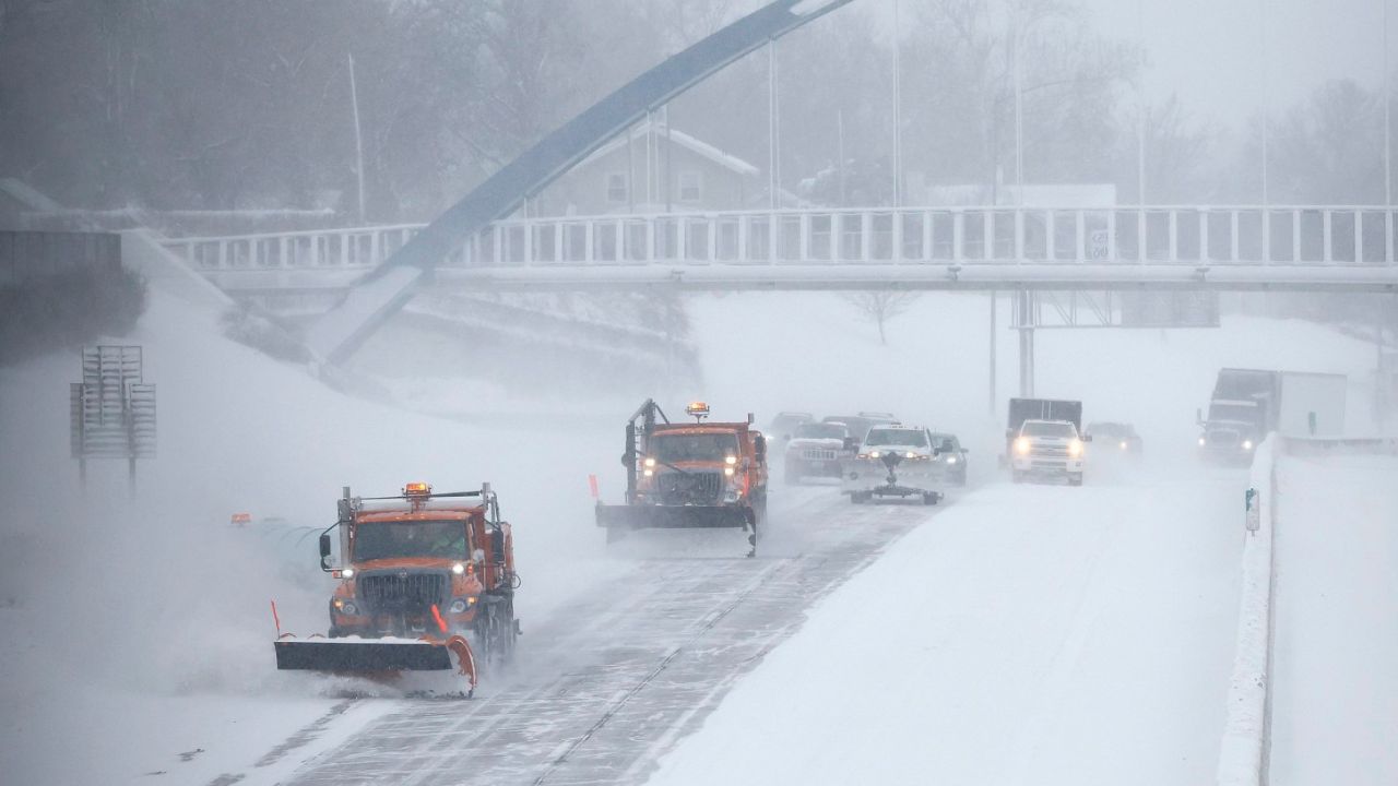
Widespread light snow overnight Sunday into early Monday is expected to lay down a thin but impactful coating on area roadways. Even minor accumulations could lead to slick conditions, particularly during the Monday morning commute.
Temperatures will steadily fall throughout Monday, rather than rising as they typically do during the day. By late morning, wind chill values near zero are expected to become common across much of the region, making conditions feel far colder than thermometer readings suggest.
“Even light snow can create dangerous conditions when temperatures are falling and winds are increasing,” forecasters warned.
Strong winds and snow squalls raise travel concerns
One of the most significant threats Monday will be strong west winds, sustained between 15 and 25 mph, with gusts exceeding 40 mph at times. These winds will help generate lake-effect snow, particularly during the late morning and afternoon hours.
The window of greatest concern runs from 11 a.m. to 5 p.m. Monday, when snow squalls may develop. These fast-moving bursts of snow can lead to sudden whiteout conditions, sharply reduced visibility, and a rapid deterioration of road surfaces.
Snow squalls are especially dangerous because they can catch drivers off guard, quickly turning a manageable drive into a hazardous one with little warning.
“Conditions can change in minutes,” officials cautioned. “Visibility may drop to near zero, and roads can become snow-covered almost instantly.”
Motorists are advised to slow down, increase following distance, and remain alert for sudden changes, especially on highways and open stretches of road.
Bitter cold settles in Monday night
As winds remain strong into the evening, temperatures will continue to drop Monday night, ushering in the coldest air of this weather system. Forecasters expect the most dangerous wind chills between 10 p.m. Monday and 10 a.m. Tuesday, with values ranging from –5°F to –15°F.
The coldest conditions are expected near the Ohio border and across Michigan’s Thumb, where wind exposure will be greatest. In these areas, frostbite can develop on exposed skin in as little as 10 to 30 minutes.
Residents are urged to dress in layers, wear hats and gloves, and cover all exposed skin when outdoors. Limiting time outside during the coldest hours is strongly recommended.
Impacts extend beyond travel
The Arctic cold poses risks not only to drivers, but also to outdoor workers, students waiting for transportation, older adults, and pets. Officials stress the importance of checking on vulnerable neighbors and ensuring animals are brought indoors during the coldest periods.
Cold temperatures may also allow icy patches to persist longer than usual, as road treatments become less effective in extreme cold.
Warming centers expand capacity across Metro Detroit
In response to the dangerous cold, Detroit Rescue Mission Ministries announced it is expanding warming center capacity across Metro Detroit.
In a statement released Sunday, the organization said it will offer space for an additional 100 people in warming centers during the cold snap, supplementing the approximately 2,400 individuals sheltered daily across its eight facilities.
“No one should be left out in the cold,” the organization said, encouraging those in need to seek shelter and assistance during the extreme weather.
Stay alert as conditions evolve
Forecasters emphasize that while snowfall totals may remain modest, the combination of wind, falling temperatures, and snow squalls makes this a high-impact weather event for Southeast Michigan.
Residents are encouraged to monitor updated forecasts, adjust travel plans if possible, and prepare for rapidly changing conditions through Tuesday morning.
How is the weather shaping up in your area of Southeast Michigan, and are you adjusting plans for the cold and wind? Share your local conditions and tips in the comments below.