California — After weeks of relentless rain, mountain snow, and flood concerns, much of California is finally seeing a brief break in active weather following the latest round of moisture that carried the state into the New Year. While the pause offers welcome relief, officials say the impacts left behind highlight just how intense this winter pattern has been so far.
From the Central Coast to Northern California, repeated storms dropped significant rainfall, triggered flash flooding, and caused landslides, all while helping rebuild the state’s critically important snowpack.
Heavy Rain Totals and Widespread Flood Reports
The final storm of the early-January stretch delivered substantial rainfall across coastal and inland areas. By the morning of January 5, three-day rain totals reached 4 to 5 inches across Santa Barbara and Ventura counties, as well as parts of the Central Coast.
Even higher totals were reported farther north.
Some locations in far northwest California’s coastal ranges and Sierra foothill communities below snow level recorded 6 to 10 inches of rain, overwhelming soils already saturated from previous storms.
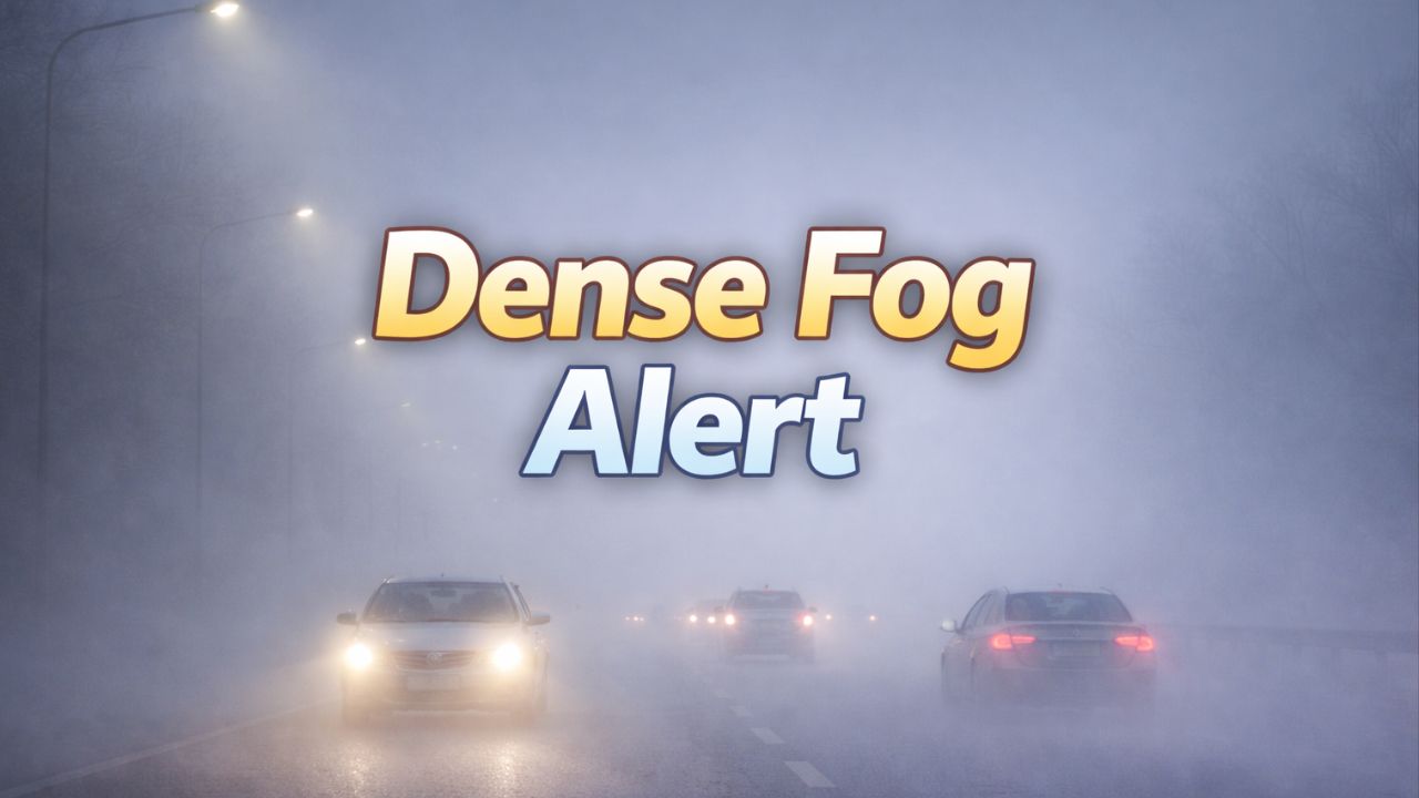
The impacts were widespread. Between January 2 and January 5, the National Weather Service logged more than 100 flash flood reports statewide, along with over two dozen landslides and debris flows.
“Once the ground is saturated, even moderate rain can quickly turn dangerous,” forecasters noted as runoff increased across creeks, roads, and urban drainage systems.
King Tides Added to Coastal Flooding Concerns
The storm impacts were amplified by King Tides, which coincided with the heavy rainfall.
King Tides occur when the moon is near full and closest to Earth, producing exceptionally high tides that can worsen coastal flooding and erosion during storms.
Parts of the San Francisco Bay Area recorded record-high tides, allowing seawater to push farther inland than usual. Combined with rainfall runoff, the tides increased flooding potential in low-lying coastal communities and along bayshore roadways.
“When heavy rain lines up with King Tides, drainage slows significantly, allowing water to back up into places that normally stay dry,” coastal officials warned.
Rainfall Running Well Above Seasonal Averages
While winter is typically California’s wet season, rainfall totals so far this season are running well above normal in many cities.
Downtown Los Angeles has recorded more than 14 inches of rain between October 1 and January 8. The city normally averages just over 4 inches during that same period. The total makes this the fourth-wettest rainy season-to-date through early January and the wettest in more than two decades.
Downtown San Francisco has seen over 11 inches of rain since October 1, placing the city more than 2 inches above average.
Farther north, Redding logged over 18 inches of rain between October 1 and January 5 — more than 5 inches above normal.
Much of this rainfall fell during concentrated storm windows, increasing the risk of flooding and infrastructure strain.
Read Also: New Pineapple Express Targets Washington, British Columbia, and Alaska With Flooding Risks
Sierra Snowpack Rebounds After Slow Start
Despite the flooding concerns, the storm pattern has delivered crucial benefits to the California snowpack, a key component of the state’s long-term water supply. Sierra snowmelt typically provides about 30% of California’s annual freshwater during spring and summer.
Early in the season, conditions were concerning. On December 19, the statewide snowpack measured just 12% of normal, largely due to persistent warmth that limited snowfall to the highest elevations.
That picture has changed dramatically.
As of January 5, 2026, the snowpack has surged to approximately 90% of normal, thanks to repeated cold storms that favored mountain snowfall.
“This turnaround is significant,” water experts said, noting that sustained snowpack levels will be critical if dry conditions return later in the year.
A Pause, Not an End, to Active Weather
While the current break allows rivers to recede and crews to assess damage, meteorologists caution that winter is far from over. Additional storms remain possible later in January, and burn scars and unstable hillsides will stay vulnerable.
Residents are urged to remain weather-aware, especially in flood-prone and mountainous regions, even during quieter stretches.
Have you seen flooding, landslides, or heavy snow where you live? Share your experience and stay updated on California’s evolving winter pattern.