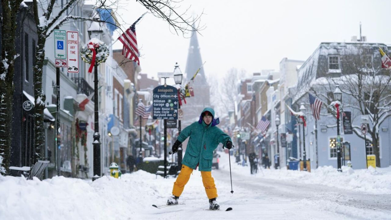
Washington, D.C. — A developing winter storm could bring accumulating snow to the nation’s capital this weekend, with frigid temperatures increasing the likelihood that whatever falls will stick around into early next week. While forecast details are still coming into focus, meteorologists say the setup supports messy roads, travel disruptions, and possible school delays if the storm tracks favorably for snow.
Cold Air Sets the Stage
Confidence is high that Saturday and Sunday will be bitterly cold across the D.C. metro. Daytime highs are expected to stay in the teens and 20s, with overnight lows plunging further. That matters because cold ground temperatures allow light, powdery snow to accumulate quickly, even if snowfall rates aren’t extreme.
Forecasters stress that while models can shift, the presence of entrenched cold air means any snow that develops will have little trouble sticking.
When Snow Could Begin — and End
Current guidance suggests snow could arrive late Saturday night, continuing through much of Sunday before tapering off Sunday night. That timing places the highest risk squarely during Sunday travel, with lingering impacts possible Monday morning.
Amelia Draper said the weekend system has the potential to deliver several inches to parts of the region, though totals remain uncertain at this range.
“We’re still refining the details, but the window from late Saturday night through Sunday is when impacts would be most likely,” Draper said.
How Much Snow Is Possible?
Forecast models currently span a wide range, with potential totals anywhere from 2 inches to as much as a foot depending on the storm’s exact track and intensity. That spread reflects typical uncertainty several days out, not a guarantee of extremes.
Meteorologists urge residents to be cautious about social media posts or weather apps advertising specific, eye-popping totals well in advance.
“No meteorologist is relying on those numbers days out,” one forecaster cautioned. “They can and will change dramatically as we get closer.”
Expect more reliable snowfall estimates within 48 hours of the storm, when higher-resolution data becomes available.
Read Also: Arctic Blast and Wintry Mix to Grip North Texas From Friday Through Monday
What This Means for Travel and Schools
If snow develops as expected, Sunday could be the most disruptive day. Roads may become slick quickly, especially untreated surfaces and bridges. With cold air lingering, melting will be limited, increasing the chance that snow and ice persist into Monday.
That raises the risk of:
- Slow or hazardous travel Sunday
- School closures or delays Monday
- Extended impacts into Tuesday if temperatures remain below freezing
The prolonged cold means snow won’t disappear quickly, even after the system exits.
Preparation Tips Ahead of the Storm
With dry weather expected during the day Saturday, residents will have time to prepare. Officials recommend:
- Having a snow shovel and deicer ready
- Planning errands before snow arrives
- Charging devices and checking home heating systems
- Dressing in layers and limiting outdoor exposure during the coldest periods
Even modest snowfall can cause outsized problems when temperatures are this low.
What to Watch Next
Key factors that will determine impacts include:
- Storm track: A slight shift north or south can change totals significantly
- Timing: Snow arriving earlier Saturday night increases accumulation potential
- Intensity: Heavier bands could boost localized totals
Forecasters will continue narrowing the forecast as the weekend approaches, with final snow maps expected no earlier than 48 hours before onset.
Bottom Line
While it’s too early to lock in exact numbers, the ingredients are in place for a snowy, disruptive weekend in the D.C. area. Bitter cold will ensure that any snow sticks, and travel impacts could linger beyond Sunday.
Stay weather-aware, finalize preparations Saturday, and be ready to adjust plans if conditions worsen.
How are you preparing for the possible snow? Share your plans or questions in the comments below.