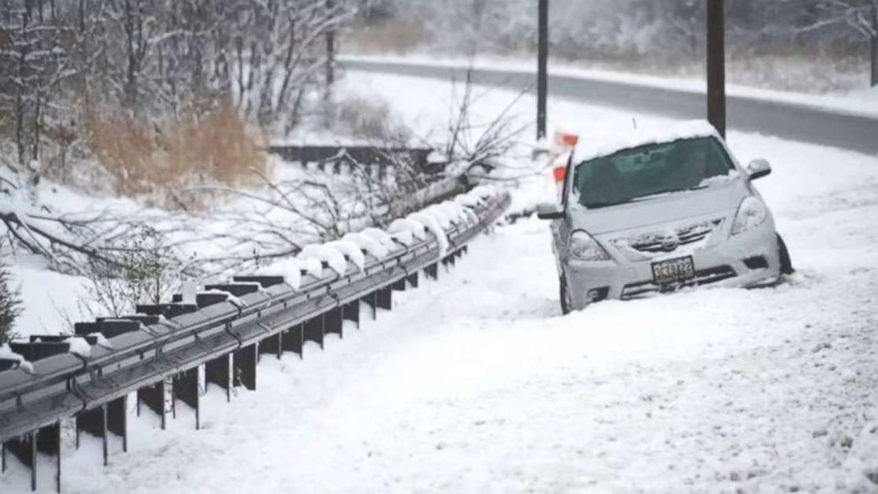
New York City, NY — After a brief thaw that brought spring-like temperatures to much of the region, winter is making a clear comeback across the Northeast and Great Lakes this week, with colder air and multiple chances for snow expected from midweek into Friday.
Forecasters say the return to winter will not be limited to just one storm. Instead, a renewed pattern of cold air and active systems will bring snow, gusty winds, and potential travel disruptions for millions.
Snow spreads east after midweek
Snow will first develop Wednesday across portions of Michigan, Indiana, and Ohio, before expanding eastward into the Northeast Wednesday night and Thursday. As the system progresses, colder air will support accumulating snow across interior sections of Pennsylvania, New York, and New England.
Meteorologists say the most reliable snowfall is expected away from the immediate coast, where temperatures will be cold enough to support steady snow rather than rain.
Read Also: Freezing Rain Threat Near I-94 as Twin Cities January Thaw Ends Tuesday Night
“Plowable snow accumulations are most likely across the interior of the Northeast, higher elevations of the Appalachians, and northern New England,” forecasters noted.
Lingering snow is possible in parts of New England into Friday, especially farther north and east.
Lake-effect snow boosts totals near the Great Lakes
Some of the heaviest snowfall is expected downwind of the Great Lakes, where lake-effect and lake-enhanced snow bands could intensify totals. Areas near Lakes Erie and Ontario may see periods of heavier snow, leading to rapidly changing road conditions.
Cities such as Buffalo and Pittsburgh could experience slick roads by Wednesday afternoon, with Wednesday evening commutes at risk for slower travel and reduced visibility. Central and eastern New York may see the most persistent snowfall Wednesday night.
Gusty winds add another hazard
Along with snow, strong winds are forecast to develop Thursday and Thursday night, with gusts reaching around 40 mph across parts of the Northeast and New England.
These winds could:
- Reduce visibility during heavier snow bursts
- Cause drifting snow on open roadways
- Increase wind chill values, making conditions feel much colder
Even areas with lighter snow totals could still see travel issues due to blowing snow and icy spots.
Limited snow for I-95 cities, but impacts still possible
Major cities along the Interstate 95 corridor, including Philadelphia and New York City, are not expected to see widespread heavy snow. However, forecasters caution that snowflakes are still likely, particularly late Thursday.
A brief burst of snow could bring slippery patches and reduced visibility, especially in northern and western suburbs where a coating to an inch of snow is possible.
Even without heavy accumulation, cold air moving in Thursday night could cause wet roads to freeze, creating hazardous conditions for the Friday morning commute.
New England may see snow linger into Friday
Farther northeast, eastern Massachusetts and coastal Maine are more likely to hold onto snow longer as the system exits. Boston could see a light accumulation, while northern areas have a better chance of several inches before snow tapers off.
More snow chances ahead
This system does not appear to be the last. A persistently cold pattern is expected to remain in place, keeping the door open for additional snow chances this weekend and into next week across the Great Lakes and Northeast.
Snow lovers and winter sports enthusiasts may welcome the return of colder air, as ski areas benefit from natural snowfall and renewed snowmaking conditions.
What to expect overall
While this is not expected to be a blockbuster storm for every location, winter impacts are likely, particularly across interior and northern areas. Drivers should plan for slick roads, blowing snow, and rapidly changing conditions from Wednesday through Friday.
Have you seen snow return in your area yet, or are you preparing for midweek travel? Share what conditions look like where you live in the comments below.