Denver, Colorado — A surge of dangerously cold air has settled across Colorado, bringing subzero wind chills, accumulating snow, and heightened mountain hazards as a winter storm continues to impact much of the state heading into the weekend.
Forecasters say the combination of Arctic air and persistent snowfall will create hazardous travel conditions, particularly in mountain regions and along portions of the Front Range. Residents are being urged to prepare for prolonged cold, slick roads, and rapidly changing weather conditions through Sunday.
Bitter Cold Takes Hold Across The Front Range
Temperatures dropped sharply across Colorado on Friday evening as the cold air mass moved in. In downtown Denver, readings hovered near 11 degrees, while wind chills made conditions feel significantly colder.
At Denver International Airport, wind chill values dipped to around –7 degrees, and across the Front Range and Eastern Plains, many locations experienced wind chills below zero.
“This is a type of cold that can become dangerous quickly without proper precautions,” forecasters warned.
The cold air is expected to persist through the weekend, with overnight lows remaining well below freezing and daytime temperatures struggling to recover.
Snowfall Expected Across Much Of The State
In addition to the cold, accumulating snow is expected across multiple regions of Colorado.
Mountain areas will see the highest totals, with snowfall continuing through early Sunday morning. Forecasters say western mountain ranges could receive up to 12 inches of snow by the time the storm tapers off.
Specific snowfall expectations include:
- Summit County and Grand County: 4 to 9 inches
- Eastern San Juan Mountains: 12 to 24 inches
- Higher elevations of the Sangre de Cristo Mountains: Up to 2 feet of snow
These totals could increase if snow bands linger longer than expected in favored terrain.
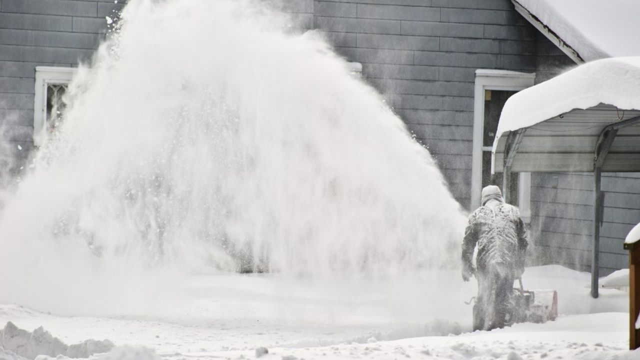
Travel Impacts Likely To Increase
As snow continues to fall and temperatures remain low, road conditions are expected to deteriorate, particularly in mountain passes and higher elevations.
Officials warn that snow-covered roads, reduced visibility, and blowing snow could make travel difficult to dangerous, especially overnight and during early morning hours.
“Drivers should be prepared for rapidly changing conditions and allow extra time if travel is unavoidable,” officials advised.
Residents across the Front Range may also see periods of light snow, which combined with bitter cold could lead to slick surfaces and refreezing even after plows pass through.
Avalanche Danger Elevated In Mountain Areas
The storm has also increased avalanche risk in Colorado’s backcountry.
An avalanche warning remains in effect for mountainous terrain surrounding the Crested Butte area, particularly in out-of-bounds and backcountry zones.
Officials say heavy snowfall combined with strong winds has created unstable conditions on steep slopes.
“Backcountry travel is strongly discouraged during this period,” avalanche forecasters cautioned.
Skiers, snowboarders, and snowmobilers are urged to remain within controlled areas and follow all safety guidance.
Outdoor Events Face Wintry Conditions
The cold and snow are also expected to impact outdoor activities across the state. In Denver, snow is likely during Sunday afternoon, coinciding with major events and increased foot traffic.
Forecasters note that even light snowfall combined with frigid temperatures can pose challenges for spectators and workers spending extended time outdoors.
Read Also: Dangerously Cold Arctic Air Spreads Across Plains, South Faces Severe Freeze This Weekend
Residents planning to attend outdoor events are encouraged to dress in layers, cover exposed skin, and take frequent breaks indoors when possible.
Safety Precautions Urged Statewide
With dangerously cold wind chills and ongoing snowfall, officials recommend several safety steps:
- Limit time outdoors, especially during overnight and early morning hours
- Dress in insulated layers, including hats and gloves
- Prepare vehicles for winter driving, including emergency kits
- Use caution on sidewalks and driveways, where ice can form quickly
- Avoid backcountry travel in avalanche-prone areas
Exposure to subzero wind chills can result in frostbite in minutes, particularly on exposed skin.
Cold Pattern Expected To Linger
While snowfall may taper off by Sunday, forecasters say cold temperatures will linger, keeping snowpack in place and prolonging icy conditions across much of the state.
Any melting during the day is expected to refreeze overnight, creating continued hazards into the early part of next week.
Officials urge residents to remain weather-aware and monitor local forecasts for updates as the storm evolves.
How cold is it where you are in Colorado right now, and are you seeing snow yet? Share your local conditions and preparations in the comments below.