United States – A shifting upper-level weather pattern developing late this month is drawing close attention from forecasters, as it may open the door to larger, more impactful winter storms across much of the country.
The setup raises concerns for accumulating snow, pockets of ice, and widespread travel disruptions from the Northwest through the Plains and into the eastern United States.
Meteorologists say the atmosphere is beginning to transition away from fast-moving, weaker systems toward a configuration that favors stronger, slower-moving storms. If this trend continues, late January could feature more widespread winter weather impacts, particularly in regions already locked into a cold pattern.
Arctic air remains dominant in the short term
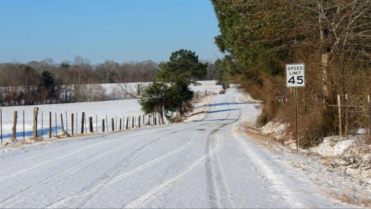
Before the potential late-month storm window fully develops, repeated surges of Arctic air will continue to affect the Midwest, Great Lakes, and Northeast through the middle of the week.
These cold shots will be accompanied by additional rounds of snow, including persistent lake-effect snowfall in favored areas downwind of the Great Lakes.
Gusty northwest and west winds will enhance snowfall rates in these snow belts, at times sharply reducing visibility.
“Heavy snow bands can form quickly under these conditions, and when they do, travel can become extremely difficult or even impossible in a matter of minutes.”
Even outside of the lake-effect zones, the combination of cold temperatures and occasional light snow may lead to slick roadways, particularly during overnight and early morning hours when refreezing is most likely.
Cold pattern expected to persist
Forecasters emphasize that the cold gripping the eastern half of the country is not expected to break down anytime soon.
“Cold air will still be in place heading into the weekend of Jan. 24–25, and there is a growing signal that a storm could develop during that period, potentially spreading snow across parts of the eastern U.S.”
As the cold air remains entrenched, any storm system that moves into the region will have a higher likelihood of producing snow or ice rather than rain. This increases the risk for longer-lasting impacts, especially if freezing rain develops.
Read Also: Southeast Michigan Braces for High Winds, Snow Squalls, and Dangerous Wind Chills Early This Week
Prolonged exposure to these conditions also raises concerns for frostbite and hypothermia, particularly for commuters, students waiting for school transportation, outdoor workers, pets, and livestock. Officials continue to stress limiting time outdoors and dressing in layers during the coldest periods.
Late-January storm potential growing
Looking toward the latter part of the month, forecasters are watching for a more active storm track to emerge from the mountainous Northwest into the Plains and East. This type of setup can allow systems to draw in moisture while tapping into cold air already in place.
Exactly where snow, sleet, or freezing rain falls will depend heavily on storm track and timing.
“There are many pieces that have to come together to produce a major winter storm. Some of those ingredients are starting to show up, but it’s still too early to say who will see the worst impacts or how intense any storm could become.”
Areas stretching from the northern Rockies through the central Plains, Midwest, mid-Atlantic, and New England are encouraged to monitor forecast updates closely, especially given the added concern for ice accumulation in transition zones.
Energy demand and travel impacts likely
With cold air expected to linger, energy usage is projected to rise across a significant portion of the nation as heating demands increase. Any major storm late in the month could further strain infrastructure, especially if ice accretion occurs.
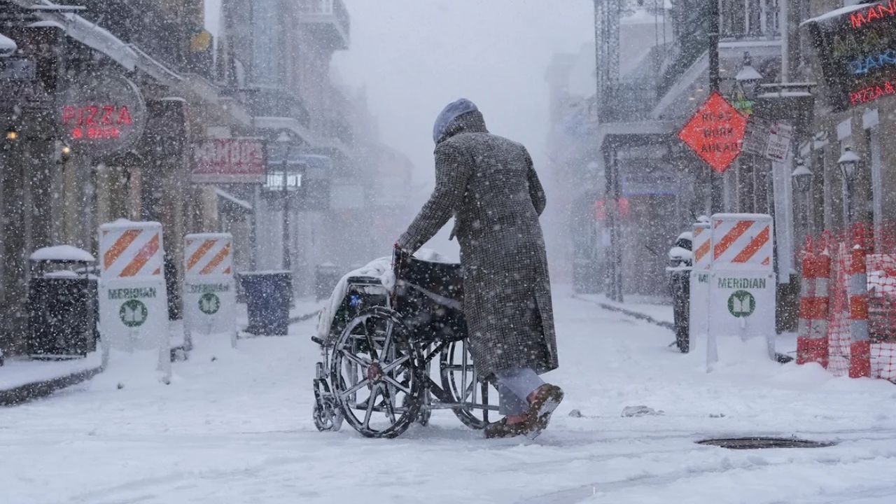
Travel disruptions are also a growing concern. Snow- and ice-covered roads, reduced visibility, and potential airport delays could complicate travel plans during the final week of January.
February outlook reinforces cold signal
Long-range guidance suggests the broader pattern may extend beyond January.
“Our February outlook continues to favor below-average temperatures across much of the eastern two-thirds of the country, with the strongest departures from normal centered over the Midwest.”
Meanwhile, regions west of the Rockies, particularly the Southwest, are expected to experience above-average temperatures, highlighting a sharp east-west contrast across the nation.
As January winds down, forecasters say confidence will increase on whether late-month storms become a reality.
Stay alert to updated forecasts in the days ahead—and share in the comments how winter weather is already impacting your area.