Dallas, Texas — Large parts of the southern United States are being urged to stay alert as forecasters track a developing storm system that could bring snow, ice, and hazardous travel conditions from late this week into the weekend. The potential impacts could stretch from Texas to the Mid-Atlantic and parts of the Northeast, affecting millions of residents.
This comes just days after portions of the South experienced rare snowfall, raising concerns that back-to-back winter weather events could strain infrastructure and travel plans.
Winter weather threat builds toward the weekend
While much of the South will see rain through the early part of the week, the situation is expected to change rapidly beginning Friday as colder air pushes south. Forecasters say the most significant impacts could unfold between Friday and Sunday, particularly as freezing temperatures overlap with incoming moisture.
“This is a dynamic setup where small shifts in timing or temperature could dramatically change local impacts.”
Because the system is still developing, officials stress that forecast details may continue to evolve.
Timeline of potential impacts
Current projections suggest a multi-day progression of winter weather as the storm moves east.
On Friday, snow may begin developing from the Texas Panhandle into Kansas, with additional snowfall possible in parts of southwestern Missouri and northern Arkansas. Elsewhere across Texas, precipitation is expected to fall mainly as rain before spreading eastward into the Southeast.
By Friday night, colder air is expected to deepen. Wintry mix and ice chances could expand into central Texas and Arkansas, while snow and mixed precipitation may begin pushing toward the Mid-Atlantic. Rain is also forecast to spread into portions of the Carolinas.
On Saturday, the zone of concern widens. Wintry precipitation could reach northern Louisiana and deeper parts of Texas, while mixed precipitation spreads farther into the Carolinas and Mid-Atlantic region.
Saturday night could bring ice to portions of the Gulf Coast, including parts of Texas and Louisiana, while snow begins creeping north into the southern Northeast. Some major population centers could see accumulating snow during this period.
By Sunday, ice impacts near the Gulf Coast are expected to taper off, while areas farther east — including parts of Georgia and the Carolinas — may see precipitation transition to mainly snow before the system exits the East Coast by evening.
Cities that could see winter impacts
Forecast guidance suggests potential winter weather impacts for a wide range of cities at different stages of the storm, including:
- Oklahoma City
- Dallas
- Houston
- Little Rock
- Memphis
- Nashville
- Jackson
- Atlanta
- Charlotte
- Virginia Beach
- Washington, D.C.
- New York City
- Philadelphia
The type and severity of precipitation will vary by location, depending on temperature profiles and storm timing.
Snow and ice amounts remain uncertain
At this stage, forecasters say it is too early to pin down exact accumulation totals, as computer models will continue refining the storm’s track and intensity.
Read Also: Boston Weather Forecast: Arctic Cold Battles Powerful Winter Storm With High-Stakes Weekend Outcome
However, current signals suggest:
- Heavier snowfall may occur from northern Arkansas through southern Delaware
- Ice accumulation could be significant enough in some areas to cause power outages, downed trees, and dangerous road conditions
“Even modest ice amounts can have outsized impacts, especially in areas unaccustomed to winter weather.”
Why this setup is concerning
Meteorologists point to a classic winter weather configuration developing later this week.
One key factor is a strong Arctic high-pressure system expected to establish itself over the Great Lakes. This feature will funnel cold air deep into the South, dropping temperatures well below normal.
At the same time, a storm system developing in the Southwest will move eastward, pulling moisture northward across the region. When that moisture interacts with the entrenched cold air, conditions become favorable for snow, sleet, and freezing rain rather than plain rain.
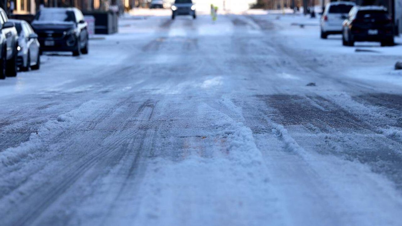
Travel and safety concerns
If freezing rain or sleet develops, road conditions could deteriorate quickly, especially overnight and during early morning hours. Bridges, overpasses, and untreated roads are expected to ice over first.
Residents are encouraged to:
- Monitor forecasts closely
- Prepare for possible power disruptions
- Adjust weekend travel plans if necessary
Because this system spans multiple days and regions, even small forecast changes could shift impacts significantly.
What happens next
Forecasters say confidence will continue to improve as the week progresses, allowing for clearer guidance on snowfall amounts and ice potential. Until then, officials advise against focusing on a single scenario.
“This is a high-impact setup, even if the exact outcome is still uncertain.”
As the South heads toward the weekend, staying informed and prepared will be key. Do you think your area will see snow, ice, or mostly rain? Share what you’re expecting in the comments below.