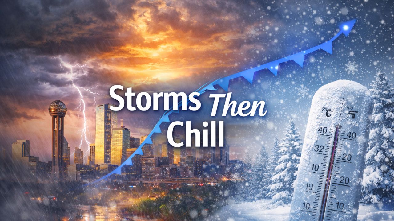
Columbus, Ohio – Weather patterns across the United States are signaling a potentially more active and disruptive stretch of winter weather as January winds down, with forecasters watching for larger storm systems capable of spreading snow and ice across multiple regions.
Meteorologists say the familiar clipper-style snow events of recent weeks may soon give way to stronger, more organized storms, driven by a shifting jet stream and persistent cold air locked over much of the eastern half of the country.
According to the National Weather Service, the evolving atmospheric setup raises concerns for widespread travel impacts and lingering winter hazards heading into the final week of January.
Jet Stream Realignment Raises Stakes
For much of this winter, fast-moving systems diving southeast from Canada have dominated the forecast. These clippers typically produce light but frequent snowfall, accompanied by bursts of cold air. While rarely severe, they have kept roads slick and temperatures suppressed.
That pattern may soon shift.
Forecasters say the jet stream is expected to temporarily straighten from west to east, replacing the deep southward dip that has repeatedly funneled Arctic air into the eastern U.S.
“This kind of jet stream alignment allows storms to strengthen and spread over a much broader area,” meteorologists said.
When this happens, storm systems forming over the Rockies or Plains can hold together longer, increasing the risk of accumulating snow and freezing rain as they move east.
Larger Storms Could Bring Snow and Ice
Unlike narrow clipper snow bands, the next round of storms could affect several states at once, potentially impacting millions of people. Forecasters caution that the interaction between entrenched cold air at the surface and milder air aloft could result in mixed precipitation, including sleet and ice.
Key concerns include:
- Plowable snowfall in parts of the Midwest and interior Northeast
- Freezing rain capable of downing trees and power lines
- Extended travel disruptions on highways and at airports
“Any snow or ice that falls will be slow to melt,” forecasters warned, emphasizing that cold air behind these systems will allow hazards to linger well beyond the end of each storm.
Cold Air Isn’t Going Anywhere
Even as the jet stream relaxes briefly, cold air remains firmly established across much of the northern and eastern U.S. Reinforcing shots of Arctic air are expected to follow each system, preventing meaningful warmups.
Important point: Temperatures are likely to remain below normal through late January, especially overnight.
In the Midwest, daytime highs may struggle to climb above freezing for several days in a row, while nighttime lows dip well into the teens and single digits. These conditions increase the likelihood of refreezing on roads and sidewalks.
Midwest and Northeast Most at Risk
Forecasters say the Midwest sits squarely in the crosshairs for the most consistent winter impacts. The Northeast may experience greater variability, depending on storm tracks, but remains vulnerable to snow and ice events that could affect major metro areas.
“This pattern favors repeated winter impacts rather than one-off events,” meteorologists noted.
That means even modest snowfall could become problematic when layered on top of existing snowpack and frozen ground.
February Outlook Reinforces the Threat
Long-range guidance suggests the cold pattern may persist beyond January.
“Below-average temperatures are favored across much of the eastern two-thirds of the country into February,” forecasters said.
The strongest cold anomalies are expected across the Midwest, while the Northeast remains susceptible to snow-producing systems riding along active storm tracks. Meanwhile, much of the western U.S., especially the Southwest, is expected to remain warmer than average, highlighting a sharp regional contrast.
What to Expect Before the Bigger Systems
Before these larger storms materialize, additional clipper systems will continue to pass through the Midwest and Northeast through midweek. While these are not expected to bring major snow totals, they will reinforce cold air, setting the stage for more impactful storms if moisture increases.
Read Also: Arctic Blast Brings Snow Chances to Tri-State This Weekend, Deeper Cold Follows Next Week
Travelers should be alert for:
- Sudden drops in visibility during snow squalls
- Rapid icing after sunset
- Changing forecasts as storm timing becomes clearer
Preparing for a More Active Pattern
While exact storm details remain uncertain, forecasters say confidence is increasing that winter weather will escalate rather than fade as January ends.
Residents are encouraged to monitor forecasts closely, plan ahead for travel, and prepare for multiple rounds of winter hazards instead of a single storm.
Do you think this next pattern shift will finally bring a major winter storm to your area, or will it remain another near-miss? Share your thoughts and local conditions in the comments.