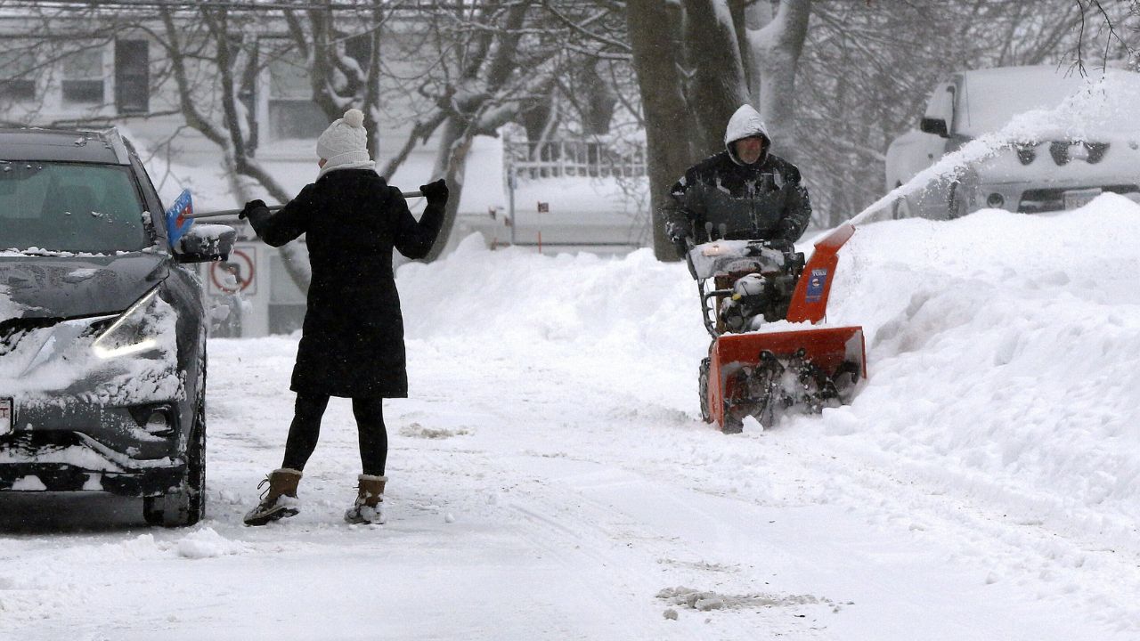
Pensacola, Florida — While a massive winter storm slams much of the country with snow, sleet, and ice, Florida is facing a different kind of shock. Forecasts show the Sunshine State swinging from near-summer warmth to bitter cold in a matter of days, as Arctic air spills south behind Winter Storm Fern late this weekend and into early next week.
Millions of Americans from Texas to the Northeast are bracing for dangerous winter conditions, and although Florida is expected to avoid snowfall, meteorologists warn that hard freezes, plunging wind chills, and strong storms could still pose serious risks across the state.
Florida Panhandle: Temperatures Set to Crash
In the Florida Panhandle, including Pensacola and Tallahassee, residents should prepare for a sharp and sudden temperature drop beginning Sunday night.
According to the National Weather Service Mobile, winds will ease Monday night, allowing colder air to settle in.
“Even colder low temperatures in the teens over areas inland from the coast are expected Monday night,” forecasters said.
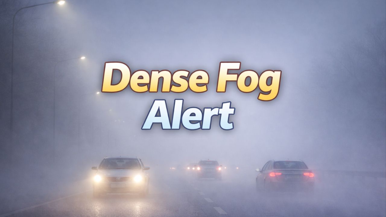
The National Weather Service Tallahassee warned that chances for a hard freeze exceed 70% on both Monday and Tuesday nights, with wind chills potentially dropping into the teens, especially late Monday night.
These conditions could threaten pipes, plants, pets, and anyone exposed to the cold for extended periods.
Northeast Florida: Bitter Cold Returns
Northeast Florida, including Jacksonville and surrounding inland areas, will also feel the brunt of the cold air early next week.
The National Weather Service Jacksonville said inland freezes are expected to return Monday night and persist through at least midweek.
“Inland nightly freezes return Monday night and will continue through at least Wednesday night,” the agency posted.
Forecasters added that cold weather advisories may be needed as wind chill values could dip into the low to mid-20s early Tuesday morning. High temperatures through the week are expected to remain in the 40s and 50s, well below average for late January.
Central Florida: Heat First, Then a Sudden Shift
Central Florida may feel out of step with the rest of the country at first. From Daytona Beach south toward Stuart, temperatures are expected to soar ahead of the front.
The National Weather Service Melbourne noted that while much of the eastern U.S. is dealing with winter weather, Florida will briefly experience near-heat-wave conditions.
Highs before Monday’s cold front could reach the low to mid-80s, with some inland locations potentially touching the low 90s, depending on cloud cover.
Read Also: Dangerously Cold Temperatures And Snow Grip Colorado As Winter Storm Intensifies
That warmth will be short-lived. The National Weather Service Miami said a series of cold fronts starting Monday will bring below-average temperatures back to the region.
By Tuesday morning, temperatures could fall into the upper 30s west of Lake Okeechobee, while daytime highs settle into the upper 60s to low 70s.
South Florida and the Climate Outlook
Although South Florida will avoid freezing conditions in most areas, the cooldown will still be noticeable. Forecasts suggest temperatures will run below seasonal norms through the end of the month.
The Climate Prediction Center highlights a 70–90% chance of below-normal temperatures across Florida by late January.
Temperatures are expected to rebound slightly by midweek, but cooler-than-average conditions are likely to persist.
Southwest Florida: Freeze Risk After Record Warmth
Along Florida’s west coast, from Fort Myers to Sarasota, residents may see record or near-record warmth before the cold front arrives.
Cooler air is expected to move in on Monday, followed by a more pronounced temperature drop.
Overnight lows Monday night could fall into the mid to upper 20s across the Nature Coast, bringing borderline hard freeze conditions.
High temperatures may struggle to reach the mid-50s north to the mid-60s south on Tuesday, with freezing temperatures again possible Tuesday night into Wednesday morning across parts of the region.
A secondary cold front later in the week could reinforce the chill, raising the risk of sub-freezing temperatures across interior and Nature Coast communities.
What Floridians Should Prepare For
While snow and ice are unlikely, freezing temperatures, strong winds, and rapid temperature changes can still create hazards across Florida. Officials urge residents to protect sensitive plants, insulate pipes, and check on vulnerable neighbors as the cold sets in.
Have you noticed unusual temperature swings where you live in Florida? Share how you’re preparing for the sudden cooldown in the comments below.